Why 3D Laser Scanning Is Becoming Standard Practice on GCC Construction Projects
A few years ago, 3D laser scanning was something contractors in the GCC asked about for unusual cases: a heritage […]

Your blog category
A few years ago, 3D laser scanning was something contractors in the GCC asked about for unusual cases: a heritage […]
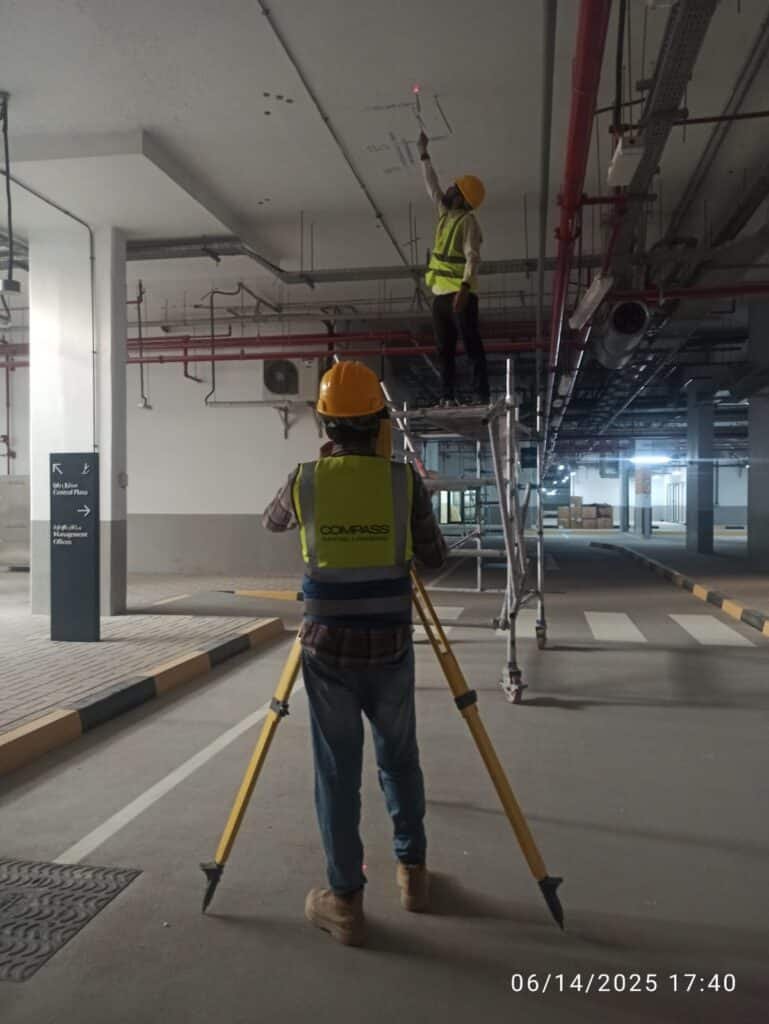
In the United Arab Emirates, construction progresses rapidly. Projects are initiated swiftly, deadlines are stringent, and expectations are elevated—particularly in
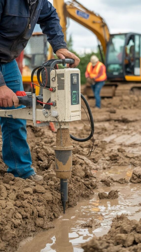
In a rapidly advancing nation such as Qatar, it is imperative that buildings and infrastructure adhere to stringent safety and
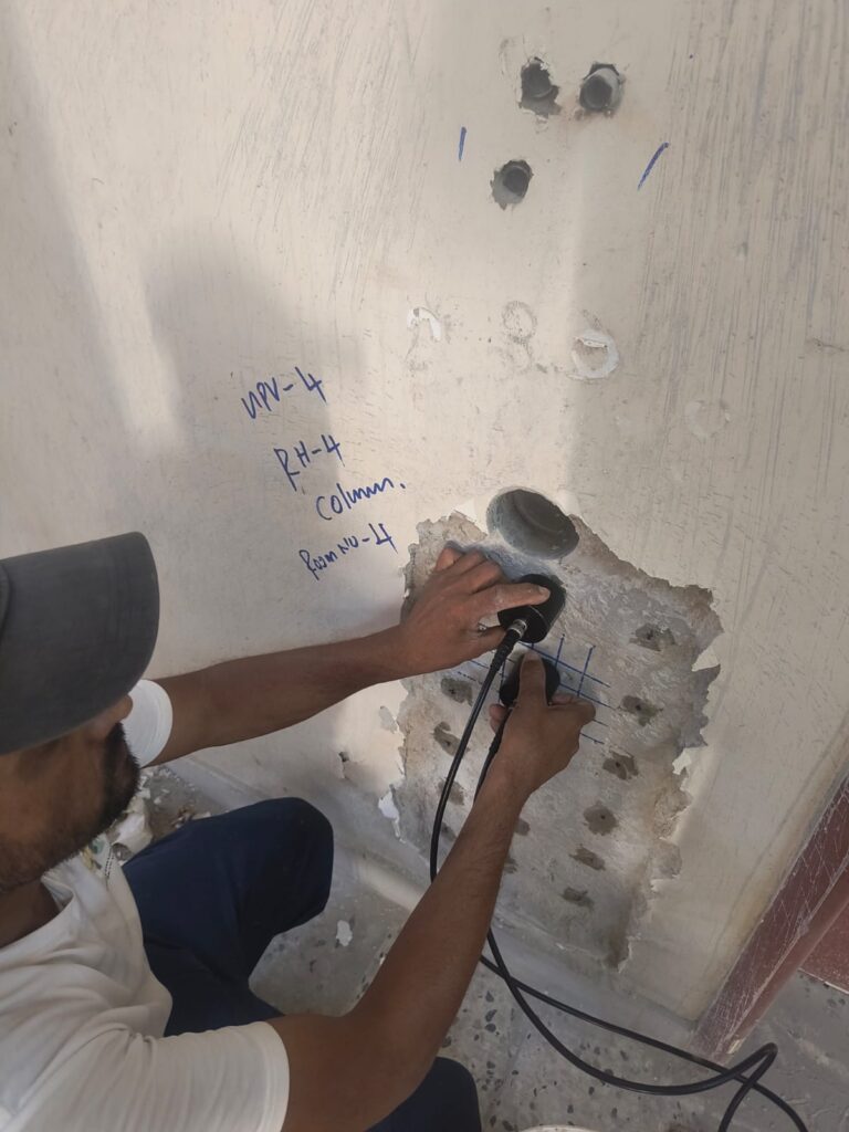
The construction sector in the United Arab Emirates is experiencing significant growth, particularly in urban areas such as Dubai. Given
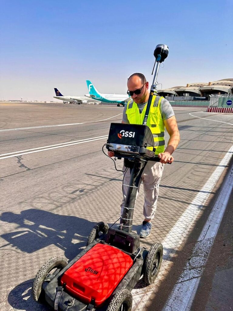
In Saudi Arabia, meticulous planning is essential for construction and infrastructure projects, particularly prior to excavation. A crucial step in
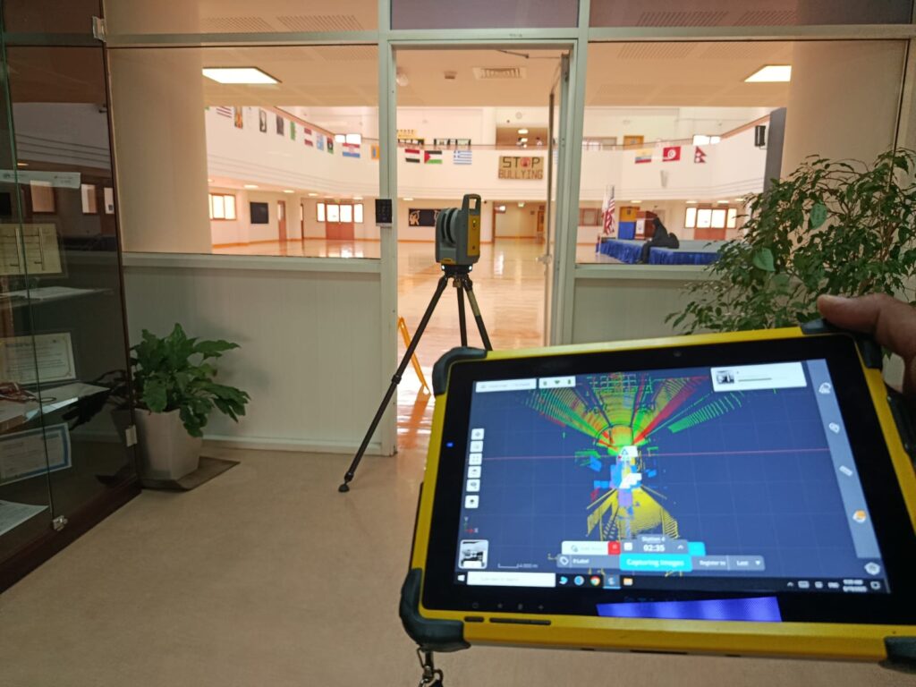
In the UAE, there is a rapid expansion of construction and infrastructure projects, particularly in cities such as Dubai. To

Qatar is undergoing rapid development characterized by extensive construction and infrastructure initiatives. Every project, ranging from commercial structures to road
In Saudi Arabia, there is a rapid expansion of construction projects, encompassing everything from residential buildings to extensive infrastructure developments.
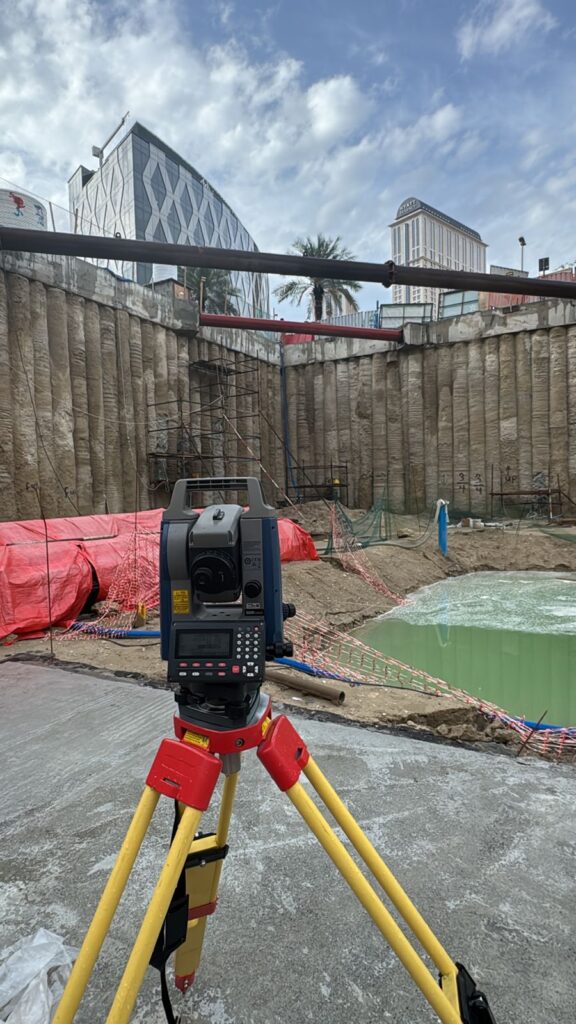
In any building project, the final product is not always exactly what was planned on paper. During construction, site conditions,
In contemporary construction and infrastructure initiatives, precision is paramount. A minor error in measurement can result in delays, increased expenses,