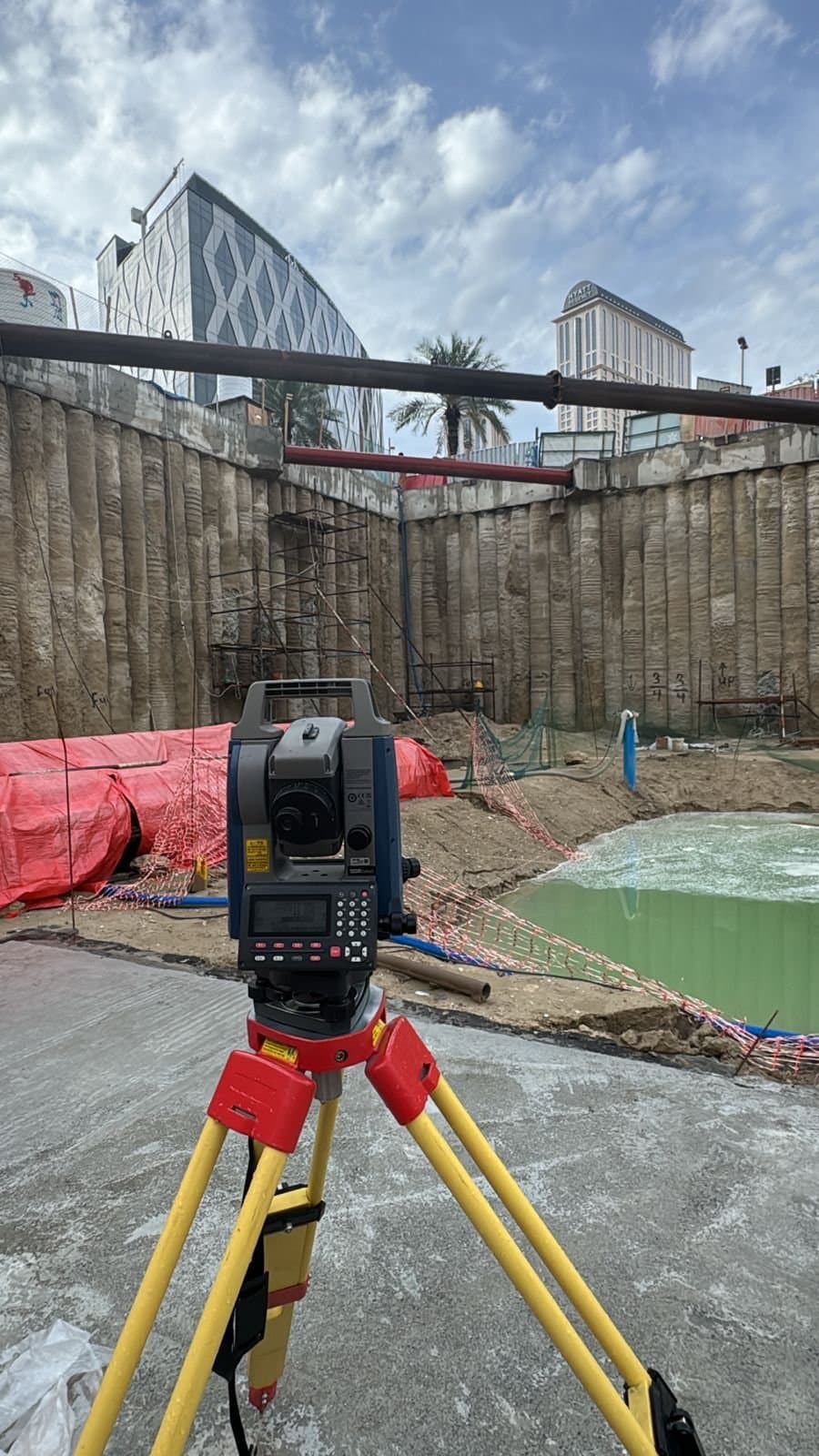
Compass Arabia provides professional surveying services across Qatar, Saudi Arabia, and the UAE, supporting construction, infrastructure, industrial, oil & gas, marine, and engineering projects with accurate geospatial data and reliable site measurements.
With extensive regional experience and advanced surveying technologies, our team delivers precise survey solutions that help clients improve planning accuracy, reduce project risks, and maintain operational efficiency throughout every stage of development.
From land surveying and topographic surveys to utility mapping and 3D laser scanning, Compass Arabia is committed to delivering dependable surveying solutions tailored to the demands of modern projects across the GCC region.
Accurate surveying is the foundation of successful construction and infrastructure development. Compass Arabia works closely with contractors, developers, consultants, government authorities, and industrial sectors to provide reliable survey data for projects of all sizes.
Our surveying specialists support projects throughout:
We understand the technical, environmental, and regulatory requirements associated with projects across the Middle East, allowing us to deliver efficient and accurate surveying solutions for diverse industries.
Our land surveying services help establish property boundaries, site dimensions, elevations, and legal land information required for construction, development, and planning projects.
We provide:
Accurate land surveys are essential for minimizing disputes, improving planning accuracy, and ensuring project compliance.
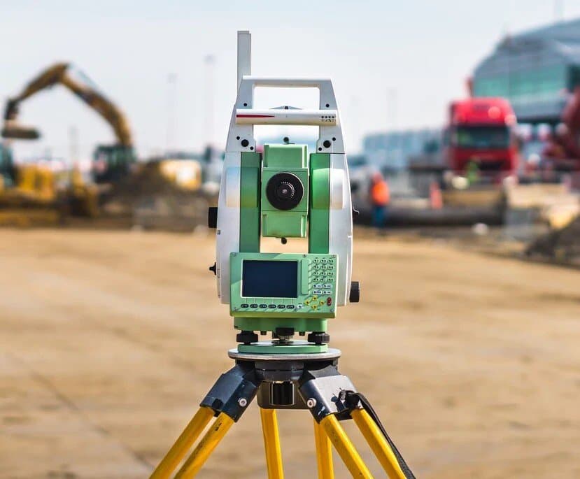
Compass Arabia provides detailed topographic surveys that capture terrain elevations, contours, existing structures, utilities, and natural site features.
Topographic surveys support:
Our advanced surveying methods ensure highly accurate terrain and site data for informed project decision-making.
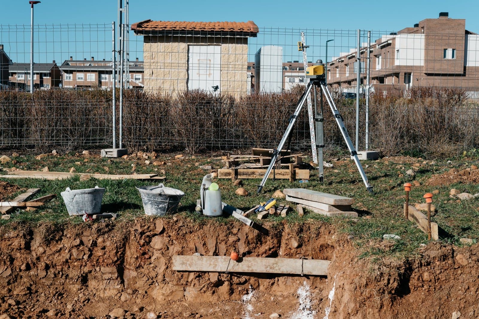
We support construction projects with precise layout and positioning services to ensure structures are built according to design specifications.
Our construction surveying solutions include:
Our experienced surveyors help improve construction accuracy while reducing costly errors and delays.
Underground utility mapping is critical for safe excavation and infrastructure development. Compass Arabia provides utility detection services to identify and map buried assets before construction activities begin.
We locate:
This helps improve project safety, reduce operational risks, and prevent accidental utility damage.
Using advanced GPS and GNSS technologies, we provide high-precision geospatial positioning services for engineering, infrastructure, and land development projects.
Our GPS surveying services support:
Modern GNSS systems allow us to deliver highly accurate and efficient survey data across challenging project environments.
Compass Arabia offers hydrographic surveying services for marine, offshore, and coastal projects across the GCC region.
Our hydrographic solutions support:
We provide reliable underwater survey data to improve marine project planning and operational efficiency.
We utilize advanced 3D laser scanning technology to capture accurate spatial data for industrial facilities, infrastructure projects, and engineering applications.
3D laser scanning is ideal for:
This technology delivers highly detailed digital representations that improve project visualization and engineering accuracy.
Compass Arabia has extensive experience supporting projects across the GCC region. Our team understands local project requirements, regulations, environmental conditions, and industry standards
We utilize modern surveying equipment and software including:
This allows us to provide accurate, efficient, and high-quality survey data for projects of every scale.
Our team consists of experienced surveyors, engineers, and geospatial specialists dedicated to delivering reliable and technically accurate results.
We prioritize:
We provide customized surveying services for multiple industries including:
Every project receives tailored survey support based on operational and technical requirements.
Professional surveying plays a critical role in project success by ensuring:
Inaccurate survey information can lead to delays, redesigns, operational risks, and increased project costs. Compass Arabia helps clients minimize these risks through precise and dependable surveying solutions.
Compass Arabia delivers surveying services for
We provide land surveying, topographic surveys, construction surveying, utility mapping, GPS & GNSS surveys, hydrographic surveys, and 3D laser scanning services.
Compass Arabia provides surveying services across Qatar, Saudi Arabia, and the United Arab Emirates (UAE).
We support construction, infrastructure, oil & gas, industrial, marine, utility, and government sectors across the GCC region.
We use advanced technologies including total stations, GNSS systems, drone surveying equipment, GIS software, and 3D laser scanners.
Accurate surveying helps reduce construction risks, improve planning efficiency, maintain compliance, and ensure successful project execution.
Looking for reliable surveying services in Qatar, Saudi Arabia, or the UAE?
Compass Arabia delivers accurate, professional, and technology-driven surveying solutions for construction, infrastructure, industrial, and engineering projects across the GCC region.
Contact our team today to discuss your project requirements and receive expert surveying support tailored to your industry needs.