Surveying Issues: How to Identify Them Before Building
Surveying issues rarely start as dramatic failures. Here is how boundary discrepancies, benchmark drift, and misread ground survey data...

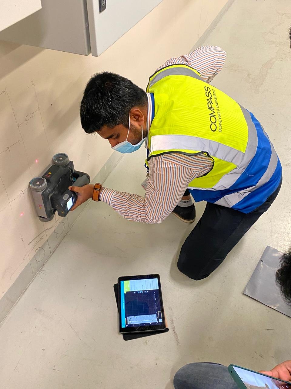
Striking an unmarked underground utility is one of the most dangerous — and most costly — events that can occur on a construction site. Across the GCC, decades of rapid urban development have created complex, poorly documented underground utility networks. Before any ground-breaking activity, responsible project teams commission an underground utilities survey.
Compass Arabia uses Ground Penetrating Radar (GPR) — the gold standard technology for non-destructive underground utility detection — to locate, map, and record buried services including water mains, drainage pipes, gas lines, electrical cables, telecom ducts, and district cooling pipes. Our GPR surveys are conducted by certified operators and the results are delivered in clear, geo-referenced maps and reports that site teams can actually use.
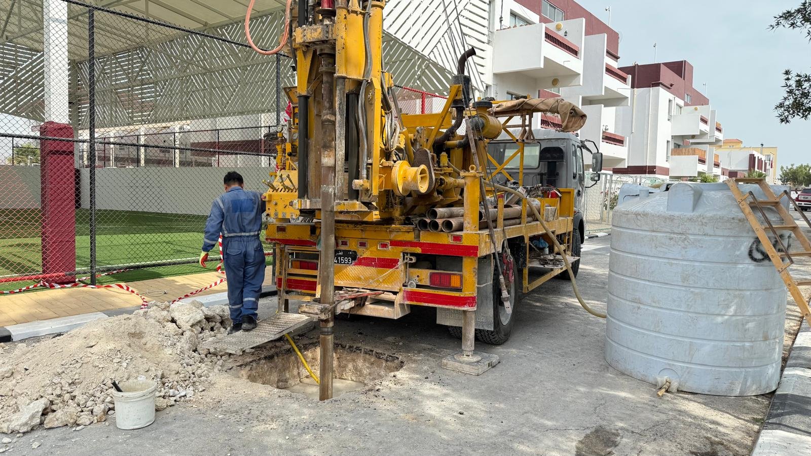
What lies beneath the surface determines everything above it. Compass Arabia's geotechnical services provide the subsurface investigation, soil and rock testing, and engineering analysis that structural designers and foundation engineers depend on to make sound, safe decisions.
The GCC presents some of the most geotechnically challenging ground conditions anywhere in the world. Soft, compressible sabkha soils along the Arabian Gulf coastline. Collapsible desert sands that behave unpredictably when wetted. Highly corrosive groundwater that attacks concrete and steel. Shallow rock with variable strength and weathering profiles. Cavernous limestone formations beneath parts of Kuwait and Bahrain. These are not conditions that can be addressed with off-the-shelf solutions — they require experienced local knowledge combined with rigorous investigation and analysis.
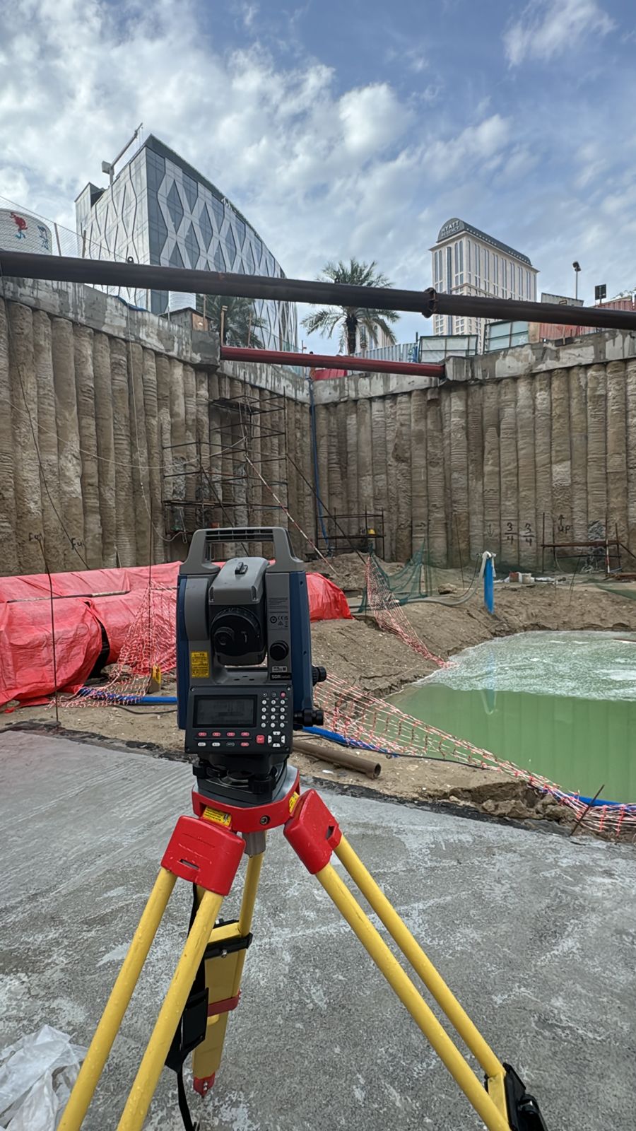
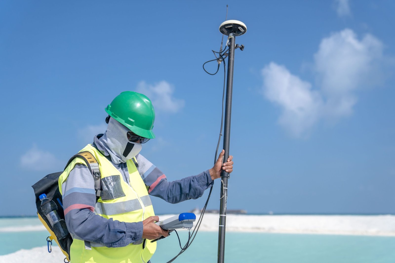
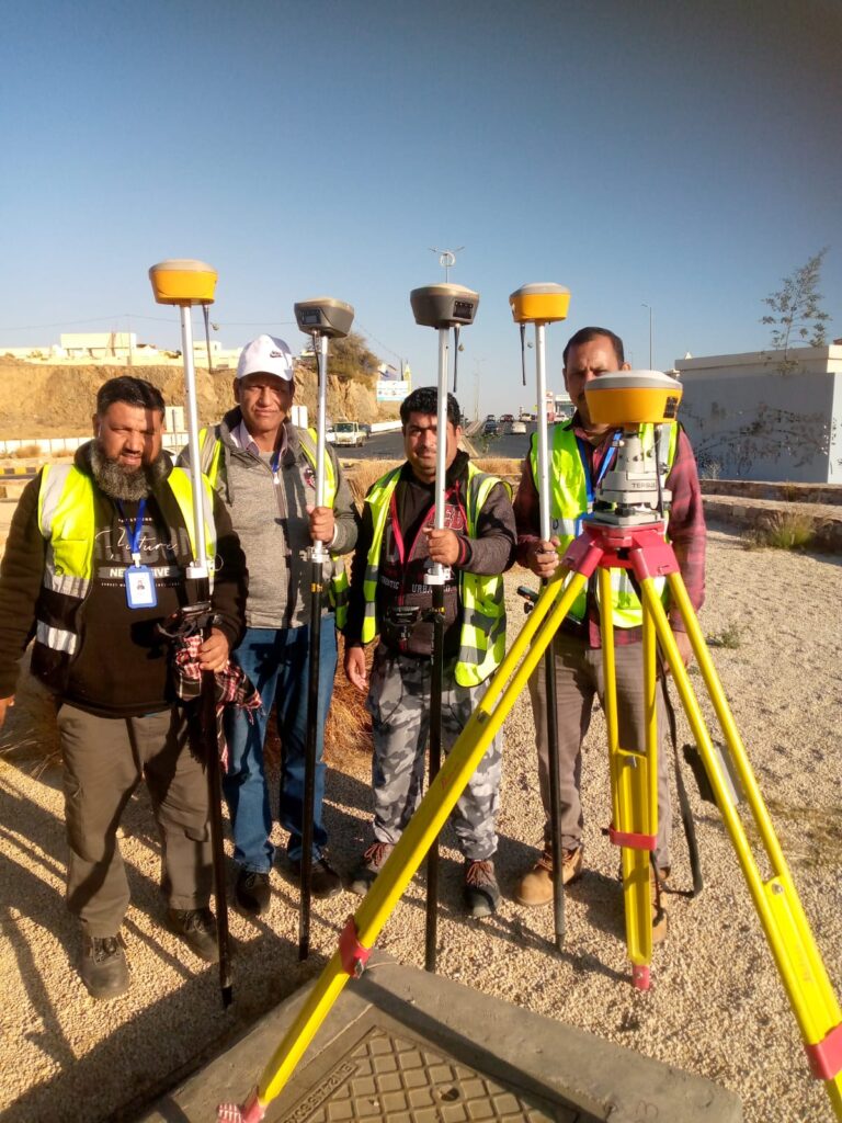
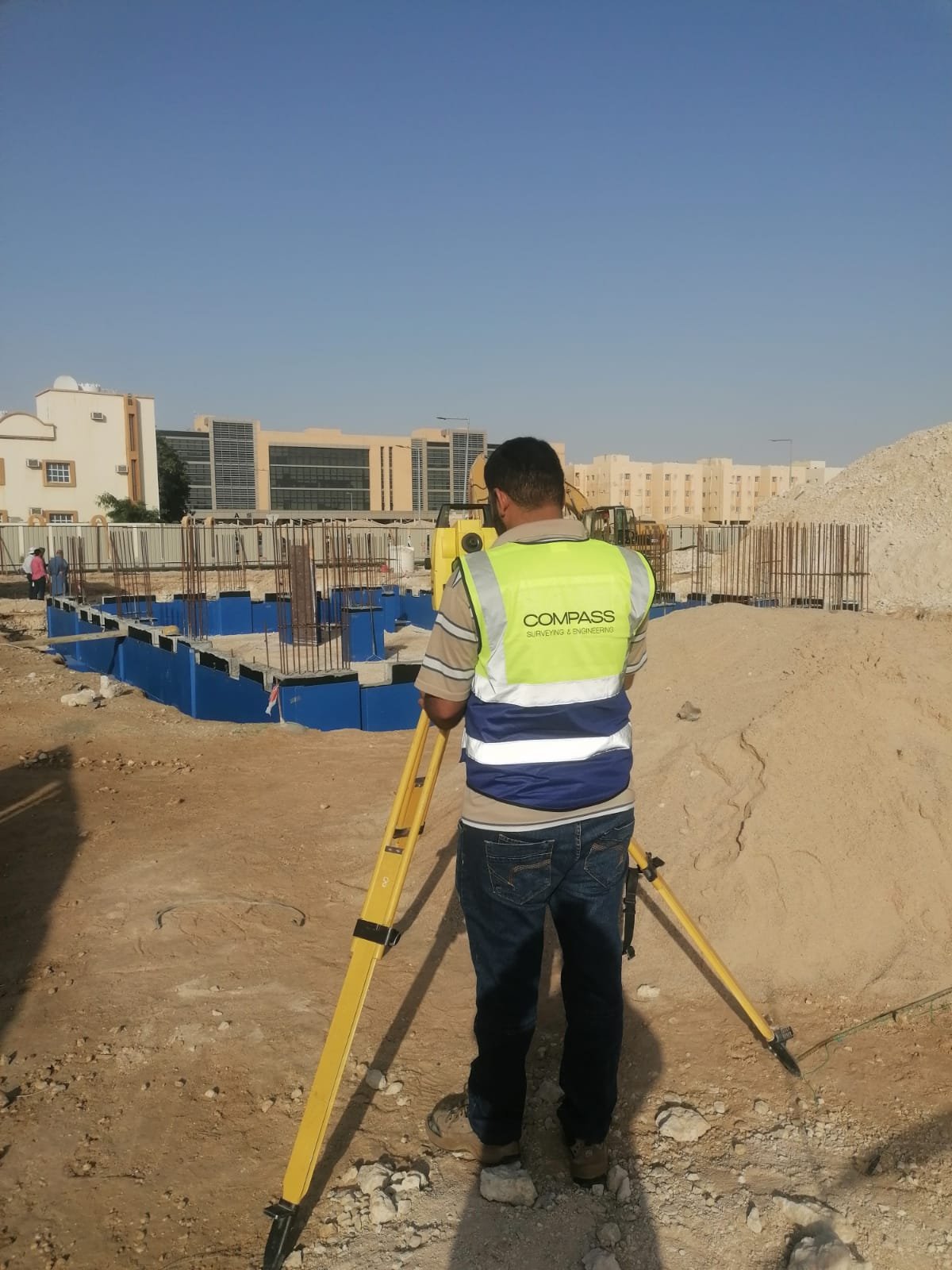
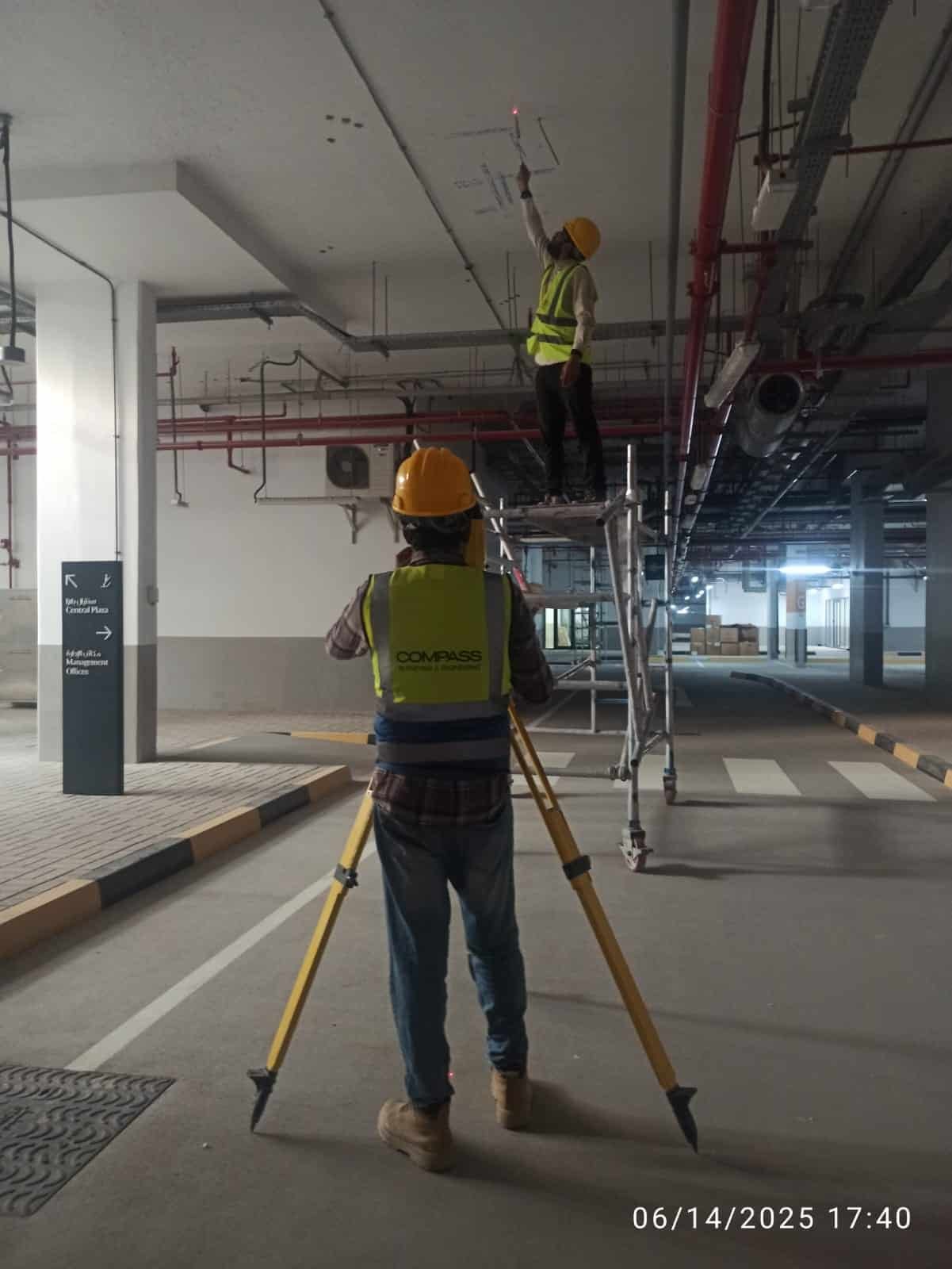
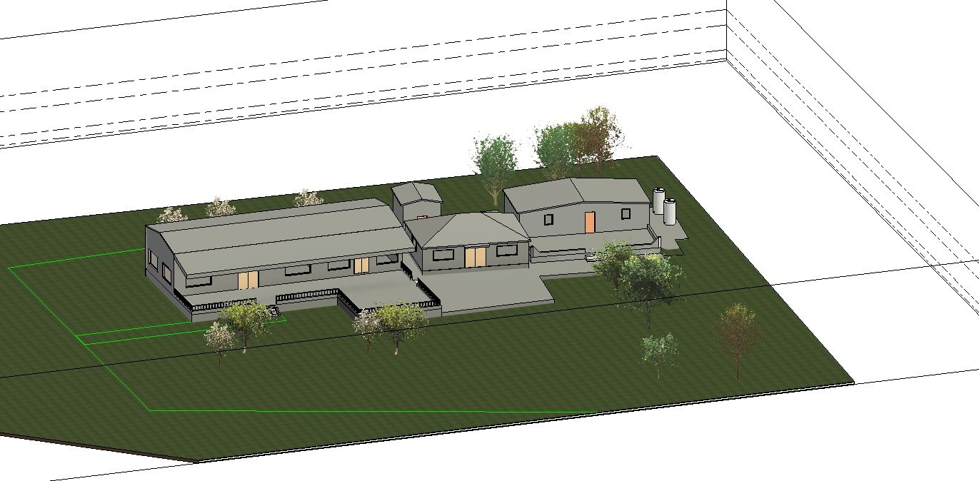
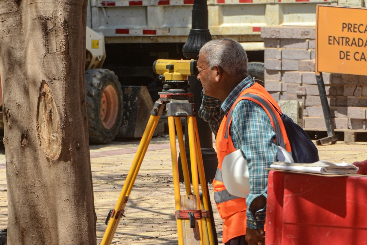
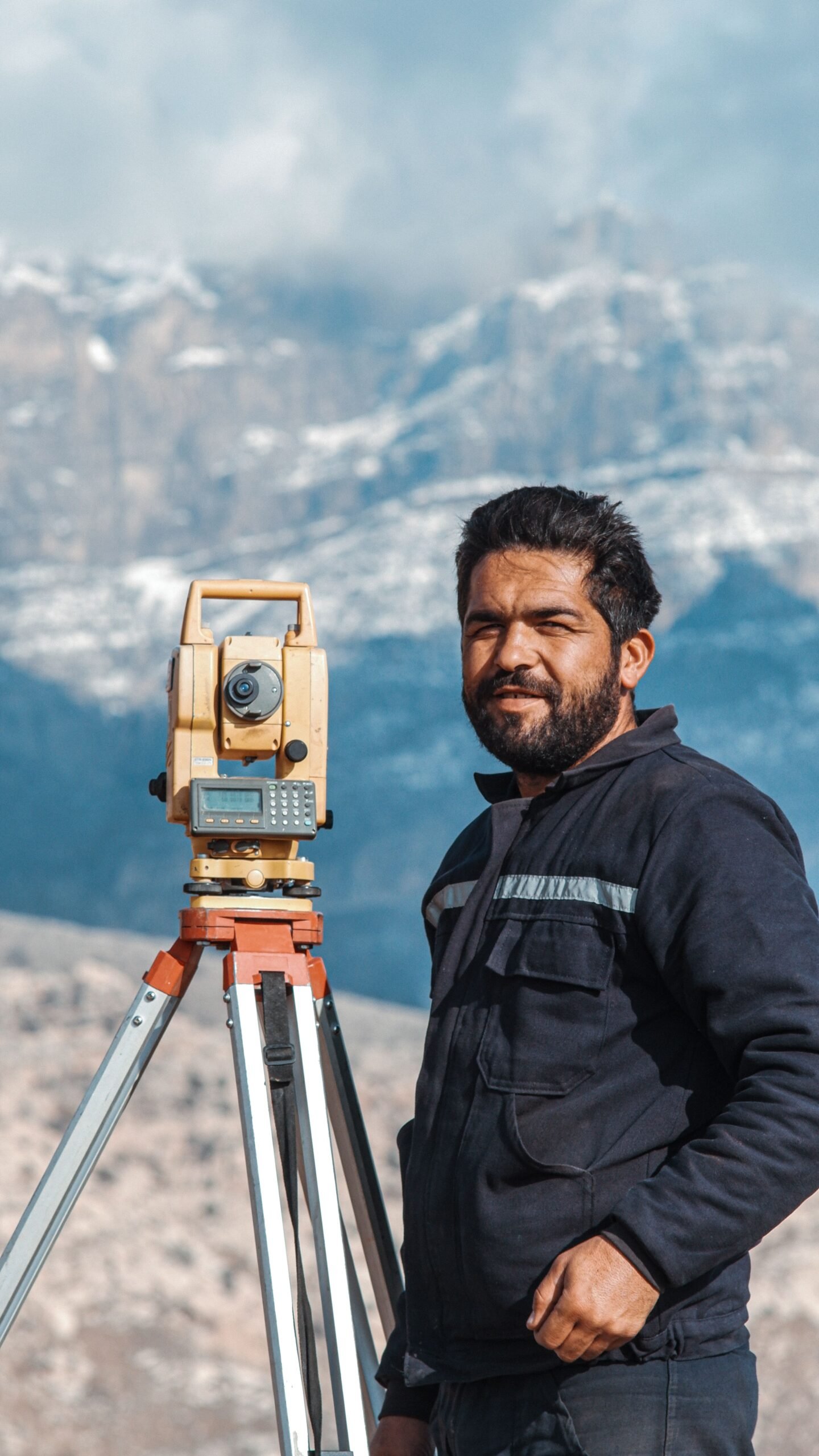
Accurate land and engineering surveys are the bedrock of every successful construction and infrastructure project in the GCC. Compass Arabia's surveying services cover the full spectrum of geospatial and engineering survey requirements — delivered by licensed, experienced surveyors using the latest GPS/GNSS, total station, and UAV technologies.
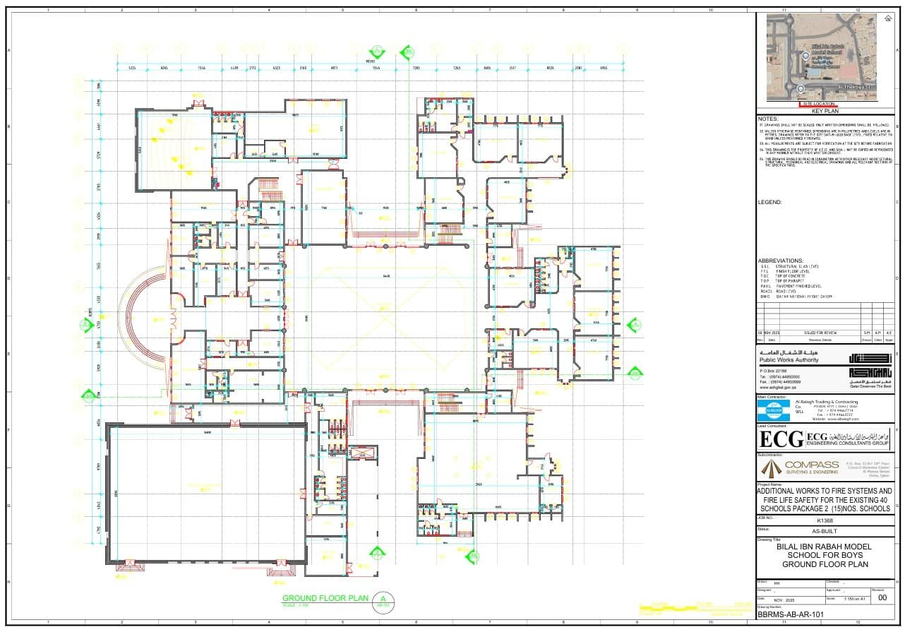
We provide topographic surveys that capture detailed surface terrain data for design and planning. We carry out boundary and cadastral surveys that establish and confirm legal land limits with precision. We deliver construction setting-out surveys that translate design coordinates into physical positions on site, ensuring structures are built exactly where they are designed to be. We perform as-built surveys that record the precise final positions of constructed elements for record, handover, and asset management purposes.
The built environment is increasingly complex, and traditional measurement methods simply cannot capture that complexity with the speed, coverage, and accuracy that modern projects demand. Compass Arabia's 3D laser scanning services use terrestrial and mobile LiDAR technology to capture millions of precise data points per second — producing dense, accurate 3D point clouds that document existing conditions in extraordinary detail
Our 3D laser scanning services are used across the GCC for as-built documentation of existing buildings and infrastructure, clash detection support for renovation and MEP coordination, heritage and cultural asset recording, industrial plant and facility measurement, tunnels and underground structure surveys, and accident and forensic scene documentation.
Aging assets, changing use requirements, damage events, and regulatory compliance demands are driving growing demand for structural assessment services across the GCC. Compass Arabia provides comprehensive, independent structural assessments of buildings and infrastructure assets — giving owners, occupiers, lenders, and regulators a clear, evidence-based picture of structural condition and integrity.
Our structural assessment services include detailed visual inspection and condition surveys, crack mapping and defect documentation, non-destructive testing (NDT) including rebound hammer testing, ultrasonic pulse velocity testing, cover meter surveys, and half-cell potential testing for reinforcement corrosion. Where required, we also carry out load testing and structural analysis to assess capacity and remaining service life.
Accurate, up-to-date digital maps are essential infrastructure for urban planning, asset management, utility network management, emergency response, and smart city operations across the GCC. Compass Arabia's digital mapping services combine UAV aerial survey, satellite imagery processing, ground survey, and GIS data integration to produce precise, feature-rich digital maps in formats that integrate seamlessly with GIS platforms, planning systems, and asset management tools.
We produce large-scale topographic maps, utility and infrastructure maps, land use and zoning maps, orthorectified aerial imagery, digital elevation models, and 3D city models. Our digital mapping work supports master planning authorities, municipalities, infrastructure operators, and real estate developers across Saudi Arabia, the UAE, Qatar, and the wider GCC.
Building Information Modelling is rapidly becoming mandatory on major projects across the GCC. Saudi Arabia's Vision 2030 programs, Abu Dhabi's and Dubai's infrastructure authorities, and Qatar's development frameworks are all driving the adoption of BIM as a standard requirement for project delivery. Compass Arabia's BIM services help clients, contractors, and consultants meet those requirements — and go beyond compliance to unlock the full value of digital project delivery.
Our BIM services include BIM coordination and management, clash detection and resolution, 4D construction sequencing, 5D cost integration, facilities management BIM (FM-BIM), scan-to-BIM modeling from our 3D laser scanning surveys, and BIM execution plan development. We work across all major BIM platforms including Autodesk Revit, Navisworks, Civil 3D, and BIM 360.


Surveying issues rarely start as dramatic failures. Here is how boundary discrepancies, benchmark drift, and misread ground survey data...
A plain-language guide to geospatial information systems (GIS) for Gulf construction projects: reading a GIS survey map, where the...
Cost control, contract administration, and BIM literacy separate a genuinely good quantity surveyor from an adequate one. Here is...
Excellent service and efficient communication. Highly recommended!