 +974 7724 0272
 +966 50 204 4383
 +971 56 802 0406
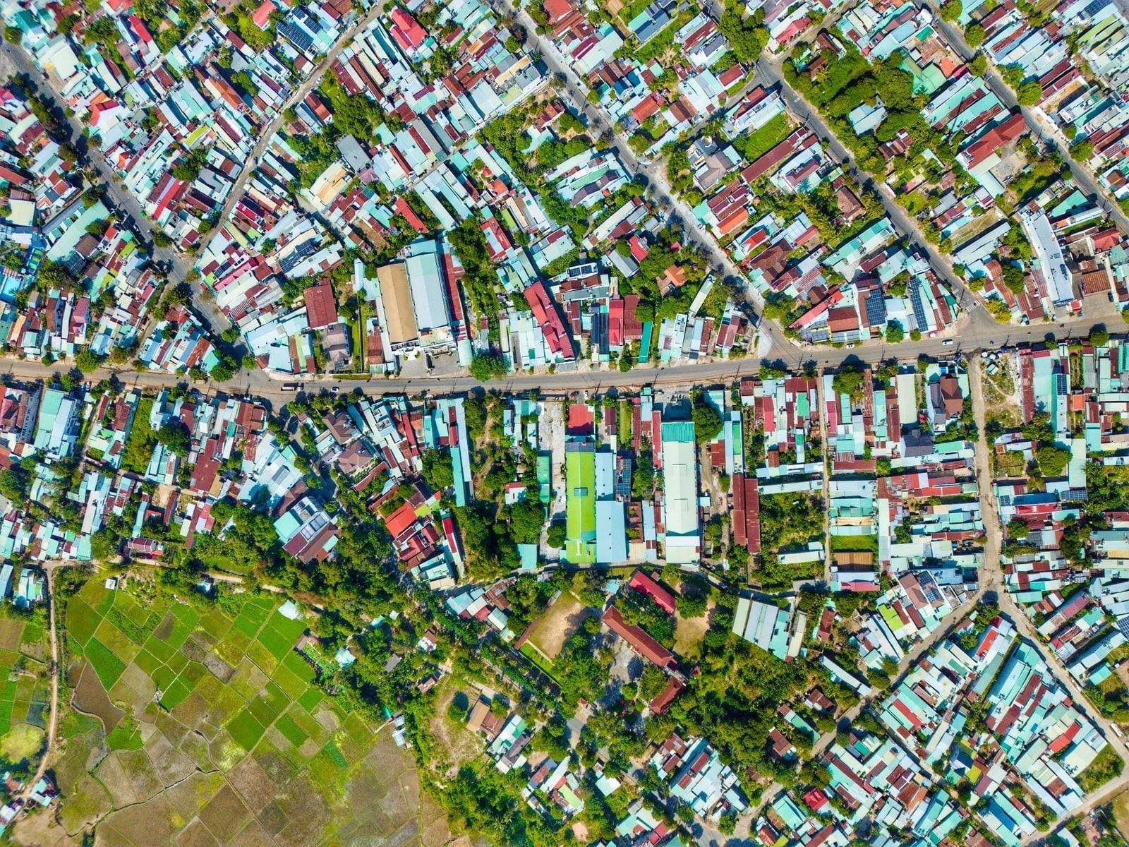
Geospatial information systems have quietly become the backbone of how surveying, planning, and asset tracking get done across Qatar, Saudi Arabia, and the UAE. If you have ever wondered what actually sits behind a GIS survey map, or why a project team keeps talking about “data layers,” this guide walks through it in plain terms.
What a GIS actually does on a Gulf project
Strip away the jargon and a geospatial information system is just a database that knows where things are. Every record, whether it is a manhole cover, a plot boundary, or a soil borehole, carries a location alongside its attributes. That pairing is what makes GIS different from a spreadsheet or a CAD file sitting on someone’s desktop.
On a construction or infrastructure project in Doha, Riyadh, or Dubai, that matters because the same site gets touched by dozens of people over months or years: surveyors, utility contractors, structural engineers, and eventually facilities managers. A GIS gives them one shared picture instead of six conflicting drawings. Our surveying services feed straight into that picture, so the boundary walked on site today is the same boundary the design team sees on screen tomorrow.
Government authorities across the region have also leaned harder into GIS for permitting and land records in the last few years, which means a project’s data increasingly needs to speak the same language as the municipality’s own systems.
Reading a GIS survey map without getting lost
A GIS survey map looks deceptively like an ordinary map until you start switching layers on and off. Turn off the base imagery and you might see just utility lines. Turn those off and you are left with parcel boundaries, or elevation contours, or flood zones. Each layer is really its own dataset, sitting on the same coordinate grid as every other layer.
That layering is the entire point. A planner deciding where a new access road should go can overlay existing utilities, soil conditions, and ownership boundaries in one view rather than chasing down three separate drawings from three separate consultants. It sounds simple written out like this, but on a live site with a tight schedule, that single view is often what stops a contractor from putting a trench through a fibre line nobody flagged.
The skill is not in reading the map itself, which any modern GIS viewer makes fairly intuitive, but in knowing which layers to trust and how recent they are. A gorgeous map built on a five-year-old utility survey is still a five-year-old utility survey.
Where the data comes from: GIS data sources on the ground
People sometimes assume GIS data appears from satellites alone. Satellite and aerial imagery are one input, but most of the detail that makes a GIS useful on a Gulf construction site comes from work done at ground level: total station surveys, GPS/GNSS observations, laser scans, and drone flights over the specific site in question.
Each of those GIS data sources has a different strength. Drone photogrammetry is fast and covers large areas, which is why we lean on it for early-stage site assessments; you can see how that fits into a broader survey through our drone survey work. Ground GPS is slower but gives tighter accuracy on specific points like boundary pins or utility markers. Public records, when they exist and are current, fill in ownership and zoning context that no amount of on-site measuring will reveal.
The honest answer, and one clients do not always want to hear, is that blending these sources takes judgement. A dataset that is technically accurate but three years old can mislead a project just as badly as one that is fresh but sloppy.
Keeping it usable: GIS data management habits
Collecting data is the easy part. GIS data management, meaning how that data is stored, versioned, and kept consistent over the life of a project, is where most systems quietly fail. A folder full of shapefiles named “final_v2_reallyfinal” is not a management system, it is a warning sign.
A handful of habits make the difference. Every dataset needs a clear owner and a capture date, so anyone using it later knows how much to trust it. Coordinate systems have to be locked down and documented, because a survey done in one reference frame silently misaligning with another is one of the more common and expensive mistakes we see corrected mid-project. And access needs to be structured so field crews can update data without accidentally overwriting someone else’s work.
None of this is exciting, but a well-managed GIS is the difference between a tool that answers questions in seconds and one that people quietly stop trusting after the second bad export.
Picking a GIS mapping system that fits the job
There is no single best GIS mapping system, only one that fits the project, the team’s technical comfort, and the budget. A government client running long-term land records needs something enterprise-grade with strict access controls. A single infrastructure project with a two-year lifespan might do perfectly well with a lighter, project-specific setup that gets retired once construction wraps.
What matters more than the software brand is whether the system can actually ingest the data formats your survey team produces, whether it plays nicely with the client’s existing platforms, and whether someone on the project will actually maintain it once the excitement of setup has worn off. We help clients scope that decision as part of our digital mapping work, because the wrong system chosen early tends to get expensive to unwind later.
A GIS is only as good as the survey data feeding it. Software choice matters less than most vendors will tell you.
If your team is weighing up how to bring GIS into a current or upcoming project in Qatar, Saudi Arabia, or the UAE, it is worth talking through the specific data you already have before choosing a platform. Get that sequencing wrong and you end up rebuilding the same maps twice.