 +974 7724 0272
 +966 50 204 4383
 +971 56 802 0406
01.
Land Surveying
Property boundaries, site dimensions, elevations and existing conditions, ready for planning, legal documentation and construction.

Dubai’s rapid urban growth runs on accurate survey data. Compass Arabia provides professional surveying services in Dubai for construction companies, infrastructure developers, consultants, architects, oil & gas projects and government sectors.
From our Dubai office we supply the spatial data behind planning, design, construction and project management across the UAE, from land and topographic surveys to utility mapping, GPS surveys and construction layout, all to international standards.


10 +
Years Of Experiences
About Compass
Compass Arabia combines technical expertise, local project knowledge and modern geospatial technology on projects of every scale:
Commercial developments
Residential projects
Roads and highways
Industrial facilities
Infrastructure and utilities
Marine and offshore projects
Oil & gas sectors
Government and municipal developments
We know Dubai’s regulatory and engineering requirements, so our surveys are fast and compliant.
01.
Property boundaries, site dimensions, elevations and existing conditions, ready for planning, legal documentation and construction.
02.
Natural and man-made features, contours and terrain data for architects, engineers and urban planners.
03.
Setting out, alignment checks, as-built surveys and structural positioning, phase by phase.
04.
We locate buried pipelines, cables, drainage and communication networks so contractors and developers avoid costly surprises.
05.
High-precision GNSS positioning for infrastructure, engineering and land development.
06.
Support for marine construction, dredging, offshore developments and coastal infrastructure across the UAE.
07.
3D capture of industrial facilities for BIM workflows, renovation planning and asset documentation.
A team that has delivered complex engineering and infrastructure surveys throughout the Middle East.
We work with:
Total stations
GNSS receivers
UAV drone surveying systems
3D laser scanners
GIS mapping technologies
Efficient data collection on every project.
Strict quality assurance and internationally recognized standards protect data integrity.
Dubai’s construction sector moves quickly, and our workflows are built to deliver survey data at the same pace.
Surveys shaped around each client’s operational, technical and regulatory needs.
As one of the world’s fastest-developing cities, Dubai keeps expanding through real estate, transportation, industrial and smart city projects, and each one starts with a survey. Our geospatial data helps them plan better, carry less risk and build more efficiently.
Industries We Serve
01
02
03
04
05
06
07
08
09
Why it matters
Inaccurate survey data leads to construction delays, boundary disputes, redesigns and safety issues. Professional surveying ensures
Better project planning
Accurate site positioning
Reduced construction errors
Improved compliance
Efficient resource management
Safer project execution
With Compass Arabia, clients make decisions on survey data they can rely on at every stage.
Frequently Asked Questions
Compass Arabia offers land surveying, topographic surveys, utility mapping, construction surveying, hydrographic surveys, GPS surveys, and 3D laser scanning services.
Yes. We take on everything from small developments to major infrastructure, industrial and oil & gas projects across Dubai and the UAE.
GNSS systems, total stations, survey drones, GIS mapping software and 3D laser scanners.
Data for engineering and construction work is checked against strict quality control standards.
Yes. Our team can mobilise quickly for time-sensitive projects.
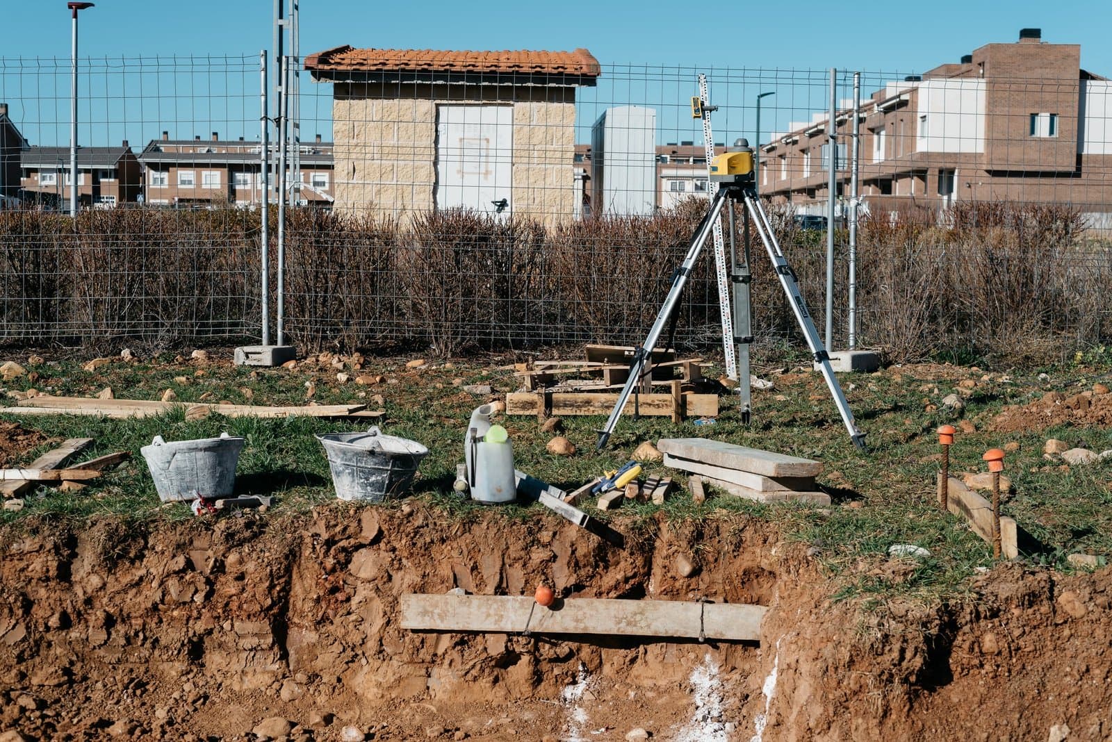
Looking for reliable and accurate surveying services in Dubai?
Contact our team to discuss your project and get surveying support across Dubai and the UAE.