Compass Arabia provides professional digital mapping services across the GCC, supporting projects in Qatar, Saudi Arabia, and the UAE with accurate geospatial data, GIS mapping, and advanced digital visualization solutions.
In today’s data-driven engineering and infrastructure environment, accurate digital maps are essential for planning, design, construction, and asset management. Our digital mapping services help clients convert complex spatial data into clear, usable, and decision-ready digital formats.
With advanced GIS technology and experienced geospatial specialists, Compass Arabia delivers reliable mapping solutions for construction, infrastructure, utilities, oil & gas, and urban development projects across the GCC region.
Digital mapping plays a critical role in modern infrastructure development, smart city planning, and engineering design. Compass Arabia works closely with government authorities, developers, consultants, and engineering firms to deliver precise and scalable mapping solutions.
We support projects throughout:
Our team understands regional geospatial standards, terrain conditions, and infrastructure requirements, enabling us to deliver high-quality digital mapping solutions tailored to project needs.
Compass Arabia provides Geographic Information System (GIS) mapping solutions that help clients analyze, manage, and visualize spatial data efficiently.
Our GIS services support:
GIS mapping improves decision-making by integrating spatial data with engineering and operational information.
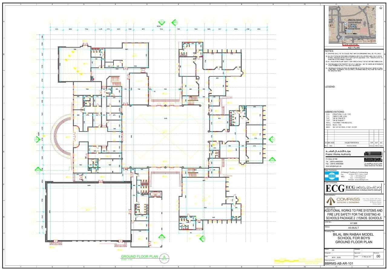
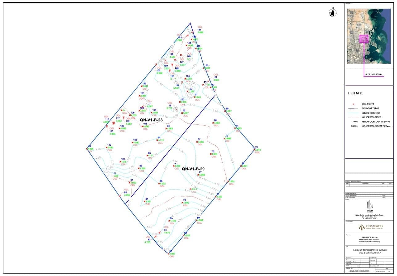
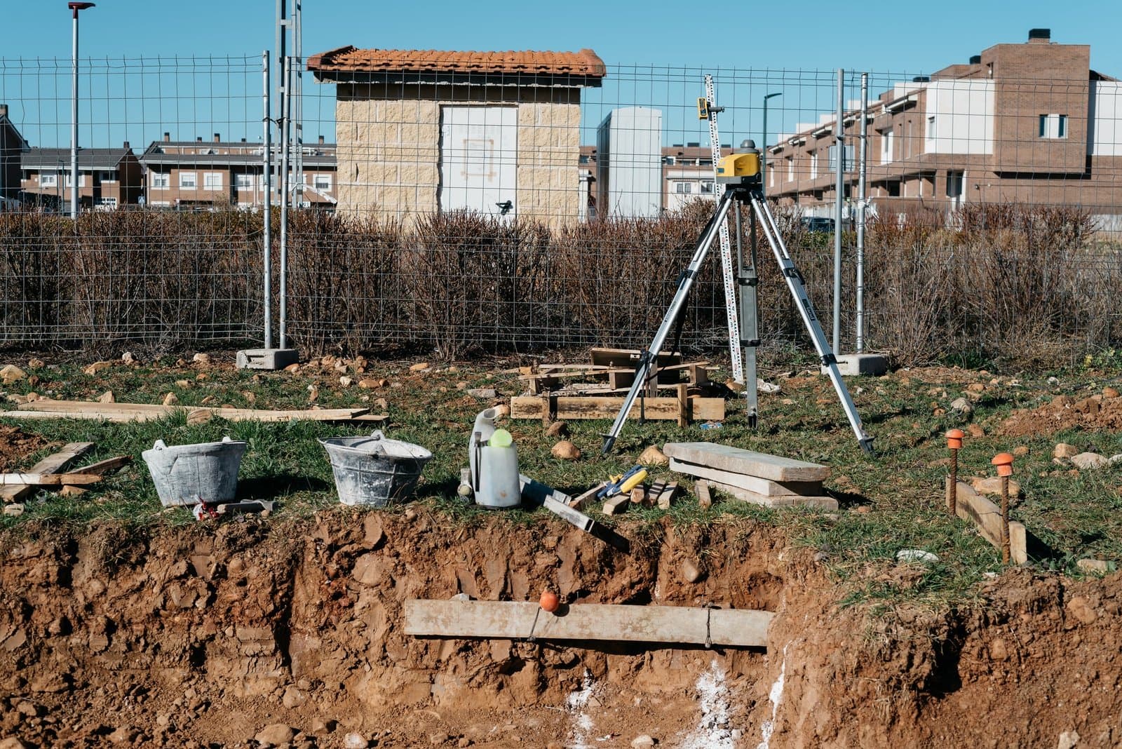
We deliver accurate topographic mapping services that capture land elevation, contours, and surface features for engineering and construction projects.
Our terrain mapping solutions support:
High-precision terrain data helps engineers and planners design safer and more efficient projects.
Compass Arabia provides digital utility mapping services to identify and document underground and above-ground utility networks.
We map:
Accurate utility mapping reduces excavation risks and improves construction safety.
We offer large-scale mapping solutions for urban planning and infrastructure development projects across the GCC.
Our services support:
These solutions help authorities and developers manage complex urban environments effectively.
Compass Arabia provides advanced 3D digital mapping solutions that transform spatial data into interactive and visual models.
Our 3D mapping services support:
3D mapping improves understanding of project environments and enhances design accuracy.
We utilize UAV and drone technology to capture high-resolution aerial imagery and generate accurate digital maps.
Drone mapping supports:
Aerial mapping enables faster data collection with improved coverage and efficiency.
Compass Arabia has extensive experience delivering geospatial and digital mapping services across Qatar, Saudi Arabia, and the UAE.
Our team understands regional infrastructure systems, environmental conditions, and mapping standards across the GCC.
We use modern geospatial technologies and mapping software to ensure accurate and reliable results.
Our capabilities include:
Our team includes experienced GIS specialists, surveyors, mapping technicians, and geospatial engineers dedicated to delivering high-quality digital mapping solutions.
We provide detailed mapping deliverables including:
These outputs support engineering design, planning, and asset management.
We provide digital mapping solutions for:
Each solution is tailored to project-specific requirements and operational needs.
Digital mapping is essential for modern engineering and infrastructure development because it helps:
Without accurate digital mapping, projects may face planning errors, inefficiencies, and increased costs.
Compass Arabia helps clients overcome these challenges with reliable and advanced geospatial mapping solutions.
Compass Arabia Compass Arabia provides digital mapping services across the GCC for
Digital mapping services involve collecting, processing, and visualizing spatial data using GIS, surveying, and geospatial technologies to create accurate digital maps.
Construction, infrastructure, oil & gas, utilities, urban planning, government, and engineering industries widely use digital mapping services.
Compass Arabia provides digital mapping services across Qatar, Saudi Arabia, and the UAE.
We use GIS software, drone mapping systems, remote sensing tools, GPS/GNSS technology, and 3D visualization platforms.
Digital mapping improves planning accuracy, reduces risks, enhances visualization, and supports better decision-making in engineering and infrastructure projects.
Looking for reliable digital mapping services in the GCC?
Compass Arabia delivers accurate GIS mapping, spatial analysis, and digital visualization solutions for construction, infrastructure, industrial, and urban development projects across Qatar, Saudi Arabia, and the UAE.
Contact our team today to discuss your project requirements and receive expert digital mapping support tailored to your industry needs.