 +974 7724 0272
 +966 50 204 4383
 +971 56 802 0406
Orthomosaic Mapping and Aerial Photogrammetry
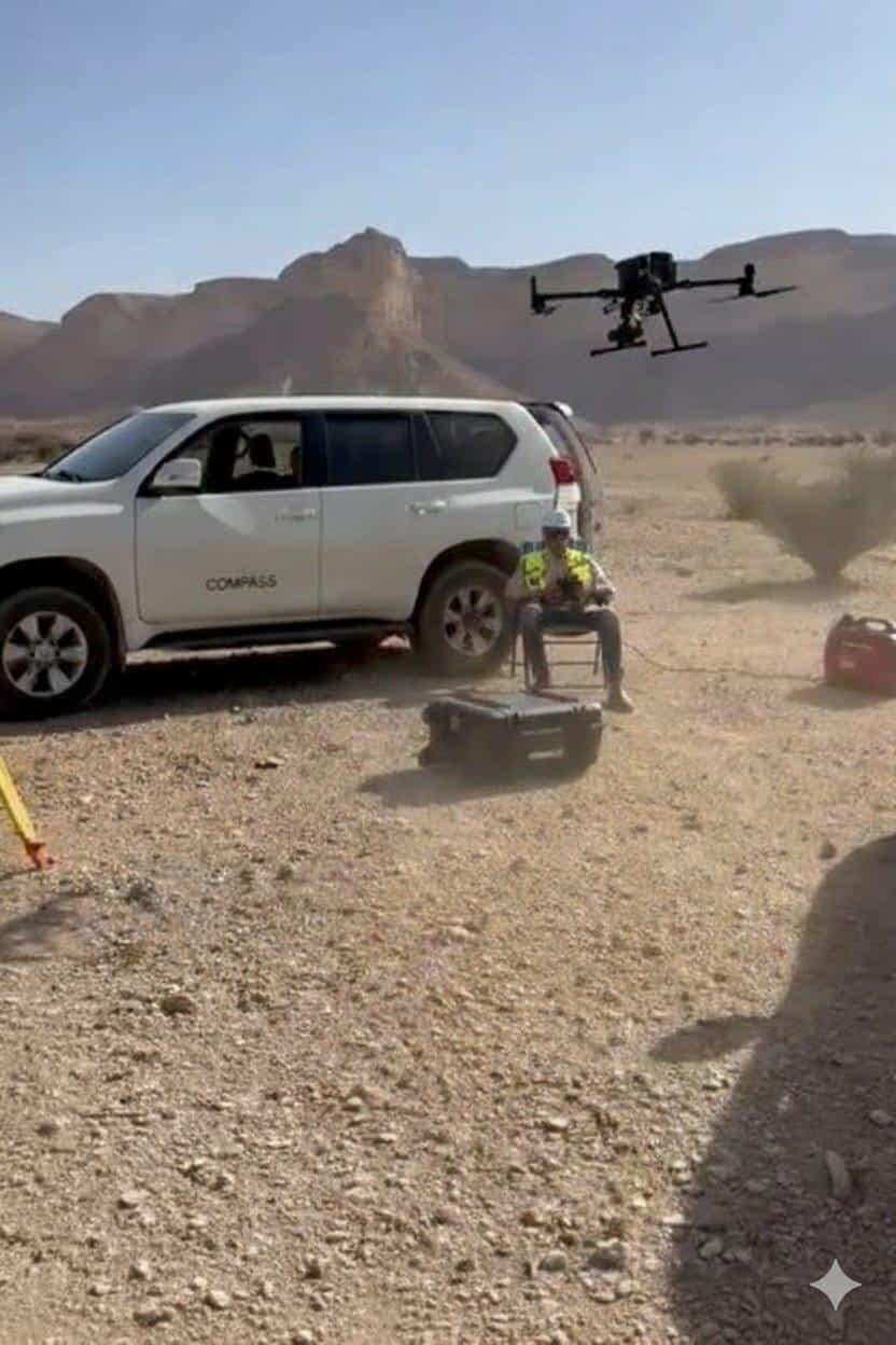
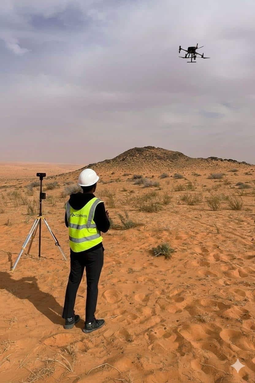
We take dense overlapping aerial photos and turn them into high-resolution orthomosaic maps, which are aerial photos that have been mathematically rectified to act like precise maps. For site planning, progress monitoring, client reporting, and regulatory submissions, orthomosaics are perfect. Depending on the needs of the project, our orthomosaic solutions can be produced at a ground resolution of less than 5 cm.