 +974 7724 0272
 +966 50 204 4383
 +971 56 802 0406
01.
Land Boundary Surveys
Boundary surveys that fix property lines, ownership details and site dimensions for legal documentation, development planning and construction.

Every construction, infrastructure, industrial and energy project in the Kingdom is planned on land survey data. Working from Riyadh, Compass Arabia provides land surveying services in Saudi Arabia for developers, contractors, engineers and government sectors.
We apply internationally recognized methods and GCC-wide experience to large infrastructure, industrial facilities and urban expansion alike, which is why clients count us among the trusted land survey companies in Saudi Arabia.


10 +
Years Of Experiences
About Compass
Our surveying work covers most sectors of the Saudi economy, including:
Commercial developments
Residential communities
Roads and transportation infrastructure
Industrial plants and facilities
Oil & gas projects
Utility and pipeline networks
Government developments
Marine and offshore projects
Our specialists know the technical and regulatory requirements in Saudi Arabia, so results hold up at every stage of development.
01.
Boundary surveys that fix property lines, ownership details and site dimensions for legal documentation, development planning and construction.
02.
Elevations, contours, existing structures and natural features, recorded for engineering, architectural and infrastructure design.
03.
Setting out, alignment verification, structural positioning and as-built surveys for the whole construction programme.
04.
Pipelines, drainage, communication cables and electrical networks located and mapped before anyone digs.
05.
Geospatial positioning from GPS and GNSS receivers for infrastructure, engineering and land development.
06.
Marine construction, dredging, coastal infrastructure and offshore developments across Saudi Arabia.
07.
Laser scans of industrial facilities for BIM workflows, renovation projects and asset documentation.
Skilled surveyors and geospatial professionals who have worked on infrastructure, industrial, oil & gas and construction projects throughout the Middle East.
Our field kit includes:
Total stations
GNSS receivers
UAV drone surveying systems
3D laser scanners
GIS mapping software
Matched to the site and the scale of the job.
Strict quality control and internationally recognized surveying standards on every project.
Saudi construction and infrastructure timelines are demanding. Streamlined workflows let us meet them without losing accuracy.
We shape each survey around the client’s operational and engineering needs.
Saudi Arabia is investing at scale in infrastructure, urban expansion, industry, transportation and energy as part of the country’s long-term development vision. Land surveying supplies the geospatial data these projects are planned on, and Compass Arabia provides it across multiple industries to cut construction errors and improve efficiency.
Industries We Serve
Compass Arabia provides land surveying services in Saudi Arabia for:
01
02
03
04
05
06
07
08
09
Professional land surveying helps projects achieve:
Accurate site planning
Reduced construction risks
Improved safety and compliance
Better project coordination
Efficient resource management
Reliable infrastructure development
Inaccurate survey data can mean costly delays, design conflicts, legal disputes and operational problems. A careful survey keeps those risks small.
Frequently Asked Questions
Compass Arabia provides boundary surveys, topographic surveys, construction surveying, utility mapping, GPS surveys, hydrographic surveys, and 3D laser scanning services.
Yes. Our projects range from commercial developments to major infrastructure, industrial and oil & gas operations across Saudi Arabia.
Total stations, GNSS systems, UAV drones, GIS mapping software and 3D laser scanners.
All project data passes strict quality assurance procedures before delivery.
Yes. We support industrial plants, energy facilities, infrastructure projects and large engineering developments throughout the region.
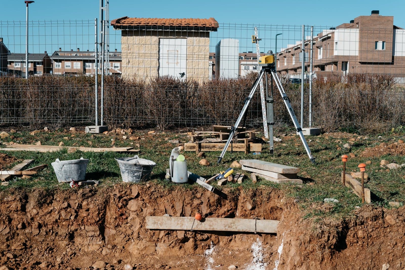
Looking for reliable land survey companies in Saudi Arabia?
Contact our Riyadh team to discuss your construction, infrastructure, industrial or engineering project.