 +974 7724 0272
 +966 50 204 4383
 +971 56 802 0406
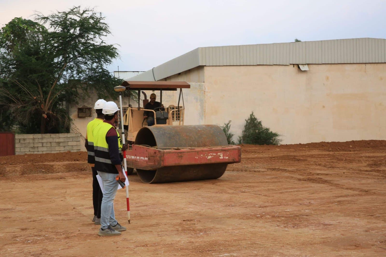
Most surveying issues on a construction site do not announce themselves. They show up quietly, as a wall that will not align, a drainage line that floods after the first heavy rain, or a boundary dispute that surfaces two years after handover. Catching them before the first excavator arrives is far cheaper than fixing them after.
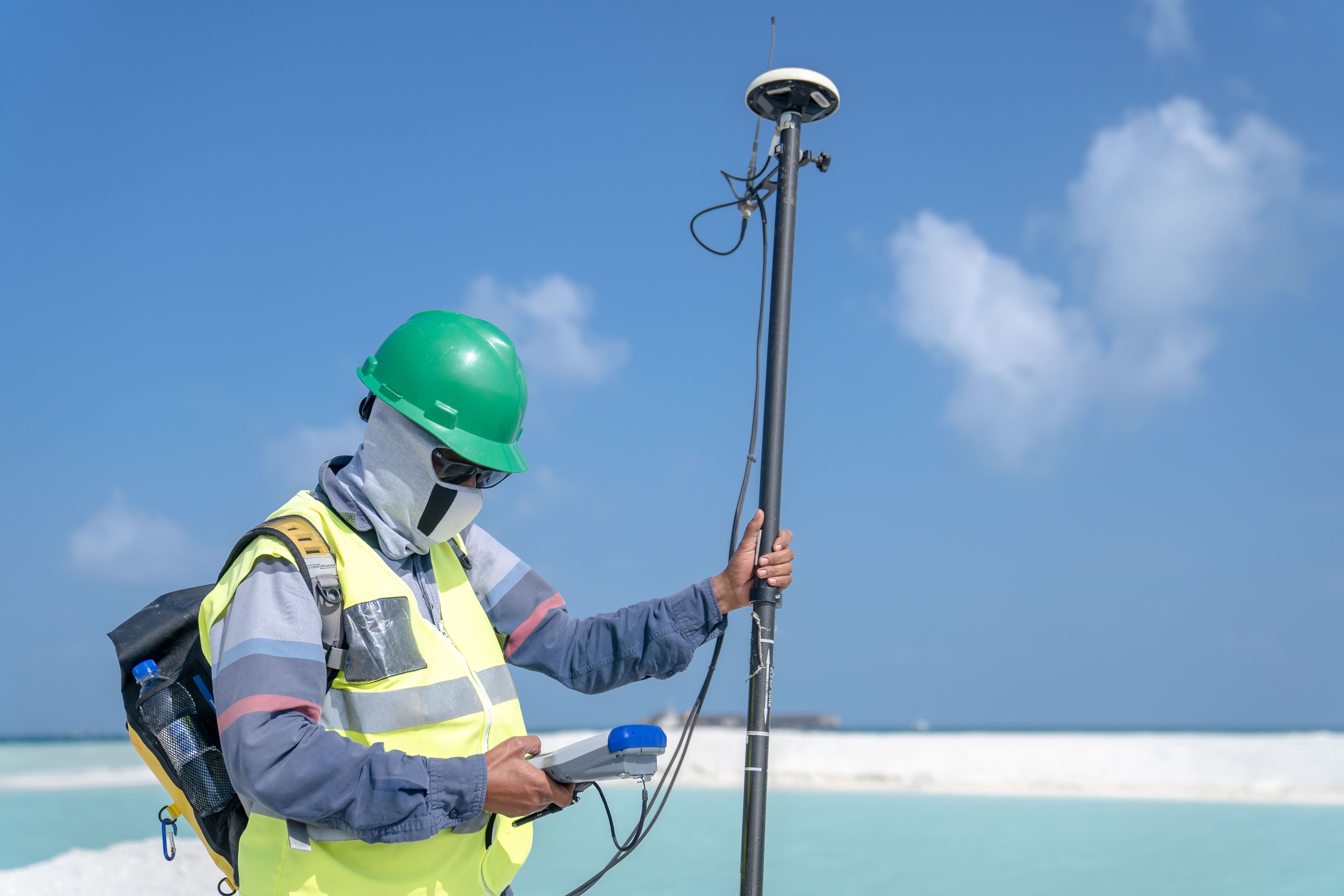
Why surveying issues go unnoticed until it is too late
A survey report looks final the day it is delivered. Numbers are printed, coordinates are locked in, and everyone moves on to design and permitting. The trouble is that a survey is a snapshot, and sites in Qatar, the UAE, and Saudi Arabia change fast. A plot that was empty desert scrub during the initial site survey might have a new utility trench, a shifted access road, or a neighbouring foundation poured a few centimetres over the boundary line by the time construction actually starts.
Contractors and developers tend to trust the paperwork rather than re-checking it on site. That is understandable; nobody wants to pay for a second survey. But the cost of an undetected surveying issue rarely shows up early. It shows up as a footing that has to be moved, a retaining wall redesigned mid-build, or a legal argument with the plot next door. Every one of those is more expensive than a half-day recheck would have been.
Common surveying issues on GCC sites
Some problems repeat often enough that they are worth naming directly:
- Boundary discrepancies. Older cadastral records in parts of the region were drawn up before GPS-grade land surveying was standard, so recorded boundaries can be off by a metre or more.
- Benchmark drift. A benchmark set years ago for road levels may no longer match current ground level after fill, grading, or erosion.
- Utility clashes. Underground services get rerouted without the drawings being updated, so a ground survey that relies on old records can miss a live cable or pipe entirely.
- Seasonal ground movement. Expansive clay and loose fill in some GCC areas shift with moisture changes, which throws off levels taken months apart.
- Human transcription error. A single mistyped coordinate in a spreadsheet has sent entire foundation layouts a few metres off true north before. It happens more often than most site teams admit.
None of these require anything exotic to catch. They need someone qualified checking the ground against the paper, not assuming the paper is right.
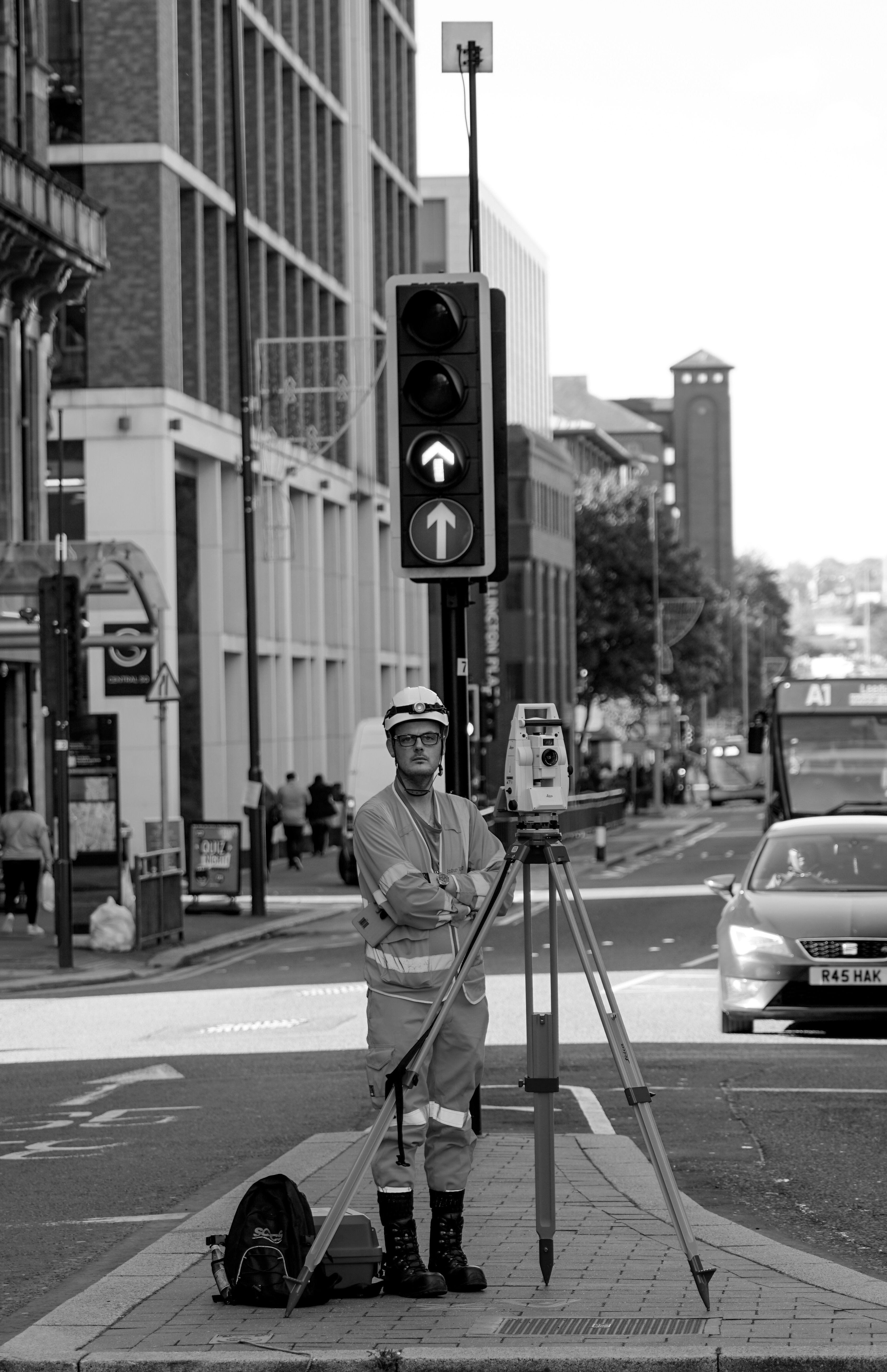
How ground survey data gets misread
Bad data is one problem. Good data read wrongly is a different and more common one. A ground survey hands over a dense set of coordinates, contour lines, and elevation points, and it is easy for a design team under deadline pressure to skim it rather than model it properly.
Two mistakes come up again and again. The first is mixing datums, where one dataset references mean sea level and another references a local site benchmark, and nobody reconciles the difference before design starts. The second is treating a survey done for one purpose, say a topographic survey for early feasibility, as if it were accurate enough for final foundation design. It rarely is. A feasibility-grade survey and a construction-grade survey are not the same product, even when they come from the same site visit.
The site never lies. The paperwork sometimes does, not out of dishonesty, but because it was accurate for a different moment in time.
What modern surveying technologies catch that manual checks miss
This is where current surveying technologies earn their cost. Total stations and RTK GPS give centimetre-level accuracy quickly, which is useful, but the bigger shift has been in how much ground a team can check without walking every metre of it. Drone-based photogrammetry can cover a large site in a single flight and flag elevation anomalies that would take a ground crew days to find on foot. Laser scanning captures existing structures in enough detail to catch clashes between what is built and what is drawn, before a new design collides with either.
None of this replaces judgement. A drone survey still needs a surveyor who knows what an anomaly in the data actually means on the ground, not just a colourful heat map. But paired with an experienced eye, these tools turn a surveying issue from something discovered during excavation into something flagged weeks earlier, on a screen, for the cost of a site visit.
Questions to ask your surveyor before work begins
A short conversation before mobilisation prevents most of the problems above. Worth asking directly:
- Which datum and coordinate system was used, and does it match the one the design team is working in?
- How recent is the boundary data, and has it been checked against the current title deed?
- Was the utility survey based on as-built drawings, ground-penetrating radar, or both?
- Is this survey grade sufficient for construction, or only for feasibility and planning?
- What is the plan if ground conditions on the day differ from the desk data?
A surveyor who answers these without hesitation has usually already thought about where the risk sits on your particular site. That is worth more than any single instrument on the truck.
Surveying issues rarely start as dramatic failures. They start as small mismatches between what is recorded and what is real, and they grow the longer they go unchecked. A proper land surveying scope at the outset, cross-checked with current ground survey data and read by someone who understands both the numbers and the site, is still the cheapest insurance a project can buy.
Compass Arabia’s surveying and geotechnical teams work across Qatar, the UAE, and Saudi Arabia, combining surveying services with underground utility mapping and geotechnical assessment to catch these issues before they reach the build phase.