 +974 7724 0272
 +966 50 204 4383
 +971 56 802 0406
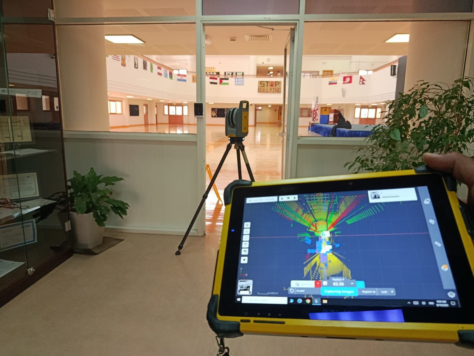
Construction and infrastructure in the UAE move quickly, especially in Dubai, and the data those projects run on has to keep pace. 3D laser scanning services in the UAE capture a site in detail far faster than manual measurement, which is why more contractors now treat scanning as the first data step rather than a specialist extra. Instead of a tape and a handful of control points, a scan records millions of measurements in seconds and turns them into an accurate digital model of the site.
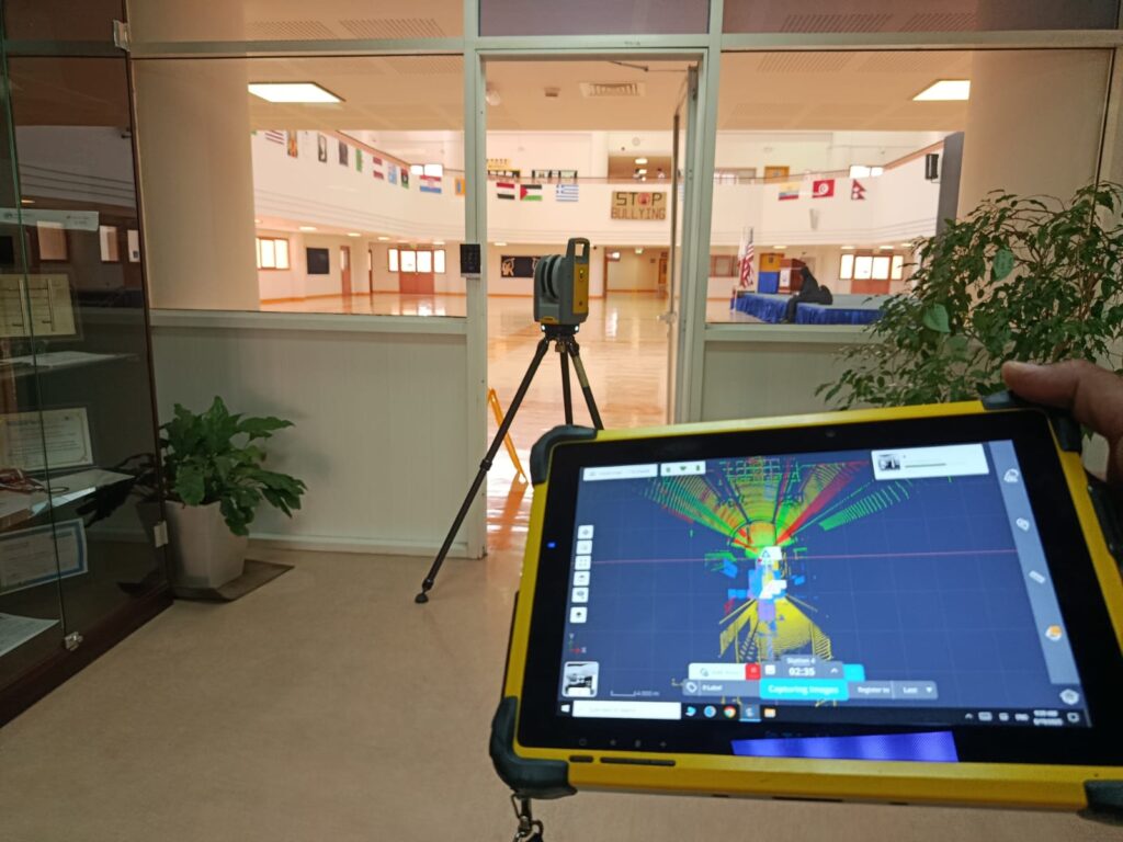
How 3D laser scanning works
A laser scanner sends out rapid pulses and measures how they return from every surface around it. From those returns it builds a point cloud, a dense set of measured points accurate to within a few millimetres, that describes the real geometry of a building or site. It captures walls, slabs, columns, ceilings, facades, and existing mechanical and electrical routing without anyone touching the structure. Because it is fast and non-contact, a scan picks up detail that manual measurement would skip and does it in a fraction of the time.
Why speed and accuracy matter in the UAE
Projects here run to tight programmes and tight tolerances at the same time, and a small measurement error early on tends to grow into a delay or a cost later. Laser scanning reduces that risk by giving every team the same accurate base to work from. The practical gains are clear:
- Accurate measurements captured quickly, even on large sites.
- Far less room for human error than manual survey.
- Stronger planning and design from a true picture of the site.
- Time and cost saved across the programme.
- Support for complex builds that manual methods struggle with.
A scan records in seconds what manual measurement takes days to approximate.
Where it is used
On construction projects, scanning gives engineers and contractors precise measurements of buildings and sites before and during the work. For renovation and as-built surveys, it captures an existing structure exactly as it stands, which is what good alteration work depends on. On infrastructure such as roads, bridges, and large developments, it covers ground quickly and feeds straight into planning. And in industrial facilities, plants and factories can be scanned safely while they keep running, without the shutdown that manual measurement would force.
Scan-to-BIM and integration
The point cloud is the raw material. The value comes when it is turned into a structured model through scan-to-BIM, where the scan becomes data-rich objects an engineer can design and coordinate against. That model supports clash detection, accurate quantities, and a verified record of the site, and it slots straight into the digital tools the design team already uses. Pairing the scan with our BIM services and digital mapping is where most of the benefit is realised.
What you gain
For a project in the UAE, working from a scan means better decisions backed by accurate data, faster execution, less risk of rework, and a clean as-built record at the end. With professional support from Compass Surveying and Geotechnical, your project starts with the right data and keeps moving on it. As construction in the UAE keeps growing, accurate and fast site data is no longer a luxury, and our 3D laser scanning services are built to deliver exactly that.