
On construction and infrastructure projects in Saudi Arabia, what you cannot see underground is exactly what causes the most expensive surprises. Before any excavation, you need to know where the buried pipes, cables, and structures are. Ground Penetrating Radar (GPR) survey services in Saudi Arabia answer that question without breaking ground, which is why GPR has become a standard first step rather than a specialist call-out.
In this article
What a GPR survey is
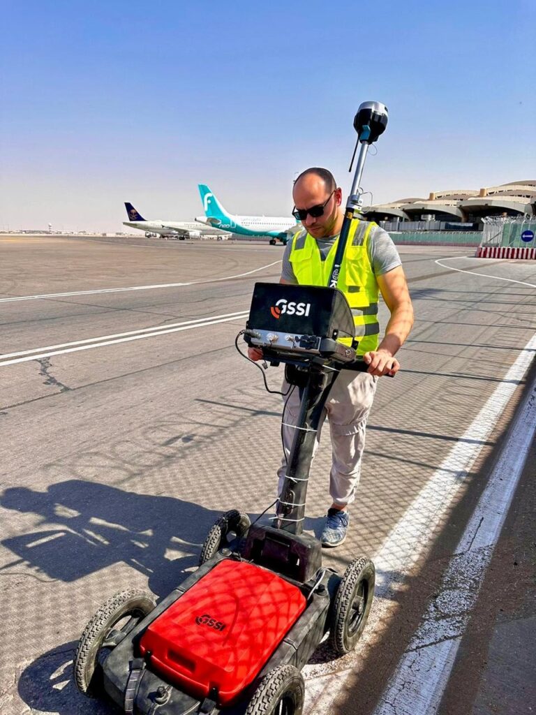
Ground Penetrating Radar sends pulses into the ground and reads the reflections that bounce back from buried objects and changes in material. From those reflections it maps underground pipes, cables, drainage, and structures, all without digging. Because it is non-contact, a GPR survey reveals what is below the surface while leaving the site untouched, which makes it both safe and fast.
Why GPR matters in Saudi Arabia
Before excavation begins, knowing what lies beneath is the difference between a clean dig and a struck cable. Without proper scanning, projects risk damaging utilities, which brings delays, repair bills, and safety incidents. A GPR survey helps you locate underground utilities such as pipes, cables, and drainage, avoid costly strikes during excavation, improve safety on site, reduce delays and risk, and plan and design around what is actually there. On the scale Saudi Arabia is building, that early certainty protects both the programme and the budget.
The cheapest time to find a buried cable is on a survey drawing, not with an excavator bucket.
The key advantages
GPR earns its place for a few clear reasons:
- Non-intrusive: no excavation, so the site stays intact and safe.
- Accurate: precise subsurface data for better decisions.
- Fast: scanning is quick, which keeps the programme moving.
- Cost-effective: it heads off the unplanned repairs and delays a strike would cause.
How a GPR survey is carried out
A thorough survey rarely relies on radar alone. GPR detects both metallic and non-metallic services, including plastic pipes and concrete ducts that an electromagnetic locator would miss, while electromagnetic location traces metallic lines and confirms what the radar finds. The results are tied to site control and delivered as a clear utility plan, usually in CAD, that the design and excavation teams can work from. Pairing the two methods is what makes the data trustworthy rather than indicative. Our underground utility survey services are built around that combined approach.
Where GPR surveys are used
GPR surveys support a wide range of work in Saudi Arabia:
- Road and infrastructure projects
- Building construction sites
- Utility mapping and detection
- Industrial and commercial projects
- Land development
Wherever excavation is planned, a GPR survey gives the team a verified picture of the ground before the first dig. With experienced specialists and current GPR technology, Compass Surveying and Geotechnical delivers accurate underground detection that keeps excavation safe and projects on schedule across the Kingdom.