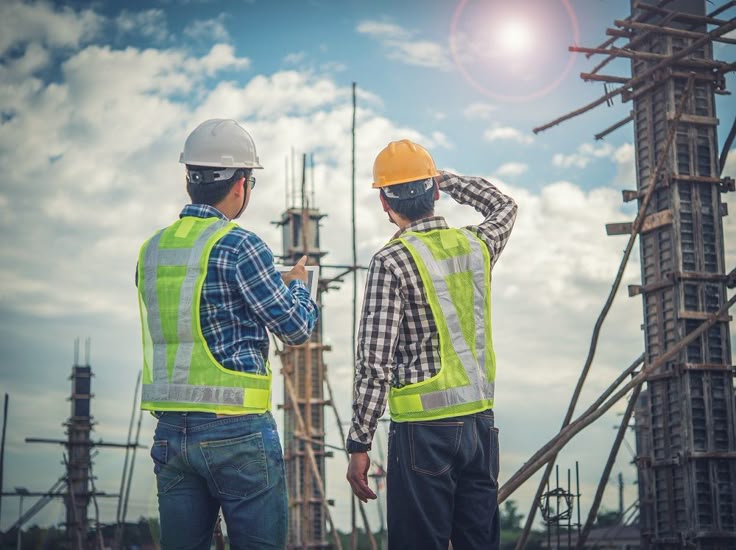
Every successful building and infrastructure project in Saudi Arabia, Qatar, and the United Arab Emirates is built on accurate surveying and geotechnical services. Professional surveying and soil research are more important than ever in the Gulf Cooperation Council (GCC) due to fast urban expansion, large-scale projects, and complicated ground conditions.
The GCC’s Need for Geotechnical and Surveying Services
Different soil conditions, reclaimed land, coastal developments, and massive infrastructure projects are some of the particular difficulties that the Gulf region faces. Projects run the danger of structural collapse, design modifications, and expensive delays in the absence of accurate land data and subsurface investigation.
Before development starts, engineers and developers in the GCC can make well-informed decisions with the assistance of professional surveying and geotechnical services.
Expert Surveying Services for Precise Project Scheduling
Traditional measures are only one aspect of modern surveying. Using contemporary technology, advanced surveying services offer precise information about land boundaries, elevations, and current features.
Important surveying solutions consist of:
Surveys of topography
Surveys of layout and setup
GIS and digital mapping
Aerial mapping and drone surveys
As-built surveys and 3D laser scanning
These surveying services provide highly accurate and efficient support for residential, commercial, industrial, and infrastructure developments in Saudi Arabia, Qatar, and the United Arab Emirates.
Services for Ground Exploration and Geotechnical Engineering
Understanding the soil, rock, and groundwater conditions underlying a location is the main goal of geotechnical services. Designing long-lasting structures and stable foundations requires careful soil investigation.
In Saudi Arabia, Qatar, and the United Arab Emirates, expert geotechnical services consist of:
Borehole drilling and soil analysis
Testing in a lab
Suggestions for the foundation
Evaluation of groundwater
Risk assessment and slope stability
These investigations guarantee adherence to regional and global standards while reducing construction-related hazards.
Cutting-Edge Technology for Increased Precision
In the GCC, surveying and geotechnical projects depend more and more on cutting-edge technology. Drone surveys, 3D laser scanning, GPR scanning, and digital mapping all increase data accuracy while cutting down on site time.
Even on complicated or large-scale projects, surveying and geotechnical teams may produce accurate, dependable findings by using current equipment.
Assisting Initiatives in Saudi Arabia, Qatar, and the UAE
Professional surveying and geotechnical services are becoming more and more in demand as the GCC continues to develop. Experienced service providers serve projects of various sizes, from commercial developments in Qatar to infrastructure projects in Saudi Arabia to urban expansion in the United Arab Emirates.
Strong knowledge of local laws, environmental circumstances, and building techniques is ensured by regional expertise.
Why Pick a Skilled Geotechnical and Surveying Partner?
There are several advantages to selecting the best geotechnical and surveying firm:
Reduced danger and precise site data
Improved safety and foundation design
Quicker project execution and approvals
Saving money by identifying issues early
From planning to completion, a seasoned partner contributes to the success of the project.
Finalised
For safe, effective, and sustainable building throughout the GCC, trustworthy surveying and geotechnical services are crucial in Saudi Arabia, Qatar, and the United Arab Emirates. With cutting-edge technology, knowledgeable staff, and local knowledge, these services offer the vital information required to construct with assurance and accuracy.