Designing a building or road without a current topographic survey is designing against a guess. A topographic survey records exactly what is on a site and at what level: the ground surface, the slopes, the existing structures, the boundaries, and the features that shape what you can and cannot do. It is the base layer every later decision sits on, and getting it wrong quietly poisons everything downstream.
In this article
Here is what a good topographic survey captures, and why the timing of it matters more than people expect.
What the survey records
A topographic survey maps the position and elevation of everything that matters on a plot. That means spot levels and contours that describe the shape of the land, the location of existing buildings, walls, kerbs, and trees, and the visible utilities like manhole covers, poles, and service markers. Boundaries are tied to the official cadastral position so the design sits where the law says your land actually is. All of it is referenced to a known coordinate and level system rather than floating in isolation. That is what lets the architect, the civil engineer, and the contractor all work from the same truth. A drawing that is not tied to a real datum is just a sketch.
Why it has to come before design
The expensive mistakes happen when design starts on assumed levels and the real ones turn out different. A site that slopes more than expected changes your cut and fill, your drainage, and sometimes your whole ground-floor level. A boundary that sits half a metre off from the assumed line can shrink a layout or trigger a setback problem with the authorities. Caught on a survey, these are notes. Caught on site, they are variations and disputes. In Qatar, the levels question is sharpened by flat terrain and drainage that has to be deliberate. A few centimetres of fall decides whether water runs where you want it to, and you cannot design that correctly off an approximate surface.
The value of a survey is not the day on site. It is everything it prevents over the following year.
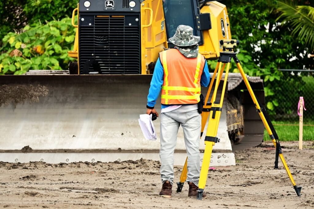
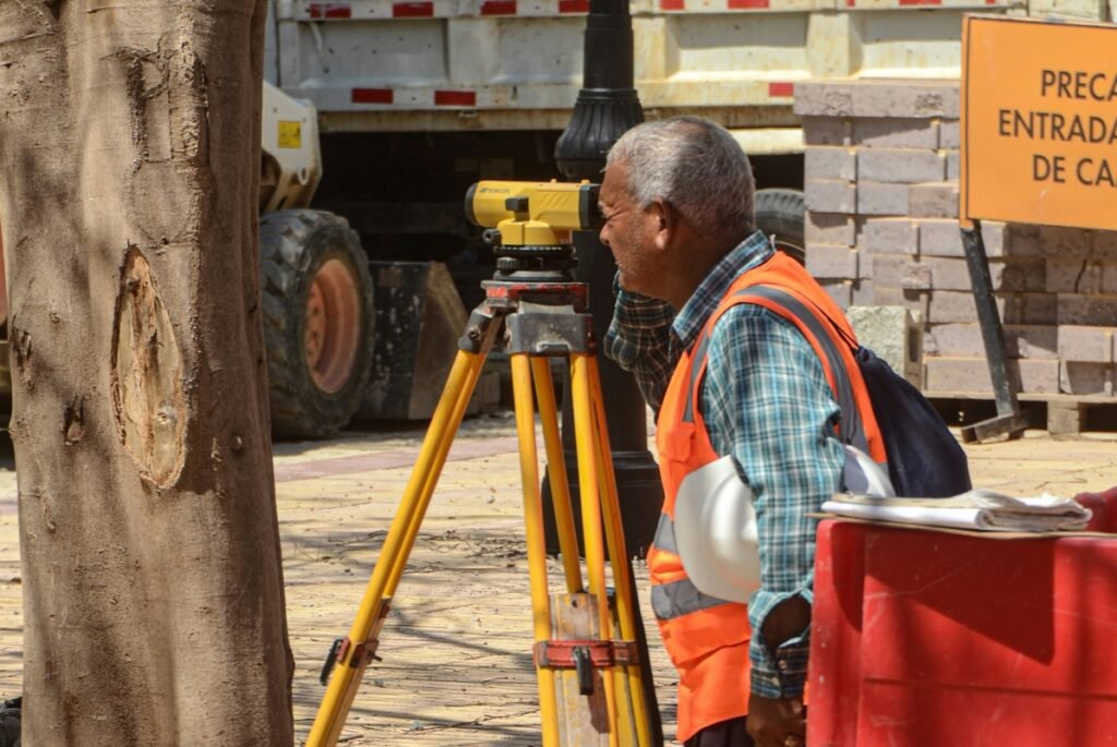
How modern surveys are captured
Traditional total-station work is still the backbone for precise, well-defined points. For larger or more detailed sites, drone-based and laser-scanning methods capture dense surface data quickly and safely, which helps where the ground is uneven, the site is large, or access is awkward. The right tool depends on the job. A small plot does not need a drone, and a large quarry-like site should not be walked point by point. A surveyor who only offers one method is fitting your project to their kit rather than the other way round.
How to tell a good survey from a cheap one
The warning signs are consistent: no clear statement of the datum and coordinate system used, boundaries shown without reference to the cadastral record, and a level of detail that does not match what the design actually needs, either too sparse to be useful or padded with irrelevant points. A good survey deliverable is clean, correctly referenced, and handed over in a format your design team can drop straight into their software.
Start on solid ground
A topographic survey is cheap relative to the decisions it informs, and it is one of the few things on a project that is genuinely hard to redo once construction starts. Compass Arabia carries out topographic and land surveys across Qatar and the GCC, referenced properly and delivered in formats your designers can use directly. If a project is moving toward design, get the survey done first. Our digital mapping team can take the same data further into the models and basemaps your project will rely on.
Sources
Applus+ Qatar: UAV Topographic Survey services. https://www.applus.com/qa/en/what-we-do/sub-service-sheet/uav-topographic-survey
QCS 2014 Qatar Construction Specifications: Earthworks and setting out.