 +974 7724 0272
 +966 50 204 4383
 +971 56 802 0406
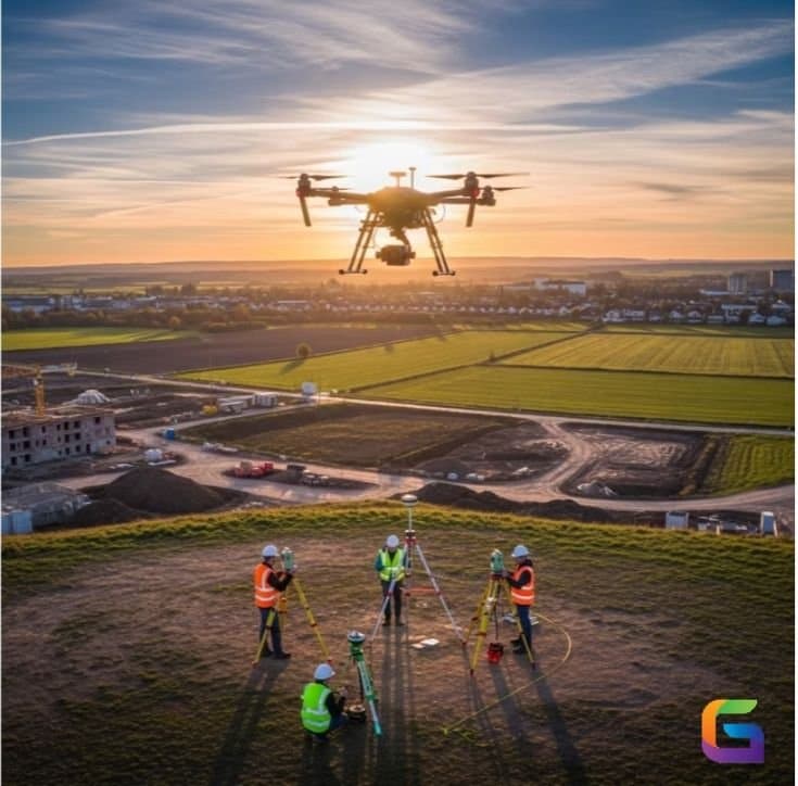
Large-scale projects, smart cities, and new infrastructure are expanding fast across Qatar, Saudi Arabia, and the UAE. To keep up, surveying has moved well beyond the tape and the total station. Digital mapping and modern surveying technologies, GIS, LiDAR, and drone surveys, are now the tools that make precise planning, safe construction, and efficient delivery possible across the GCC.
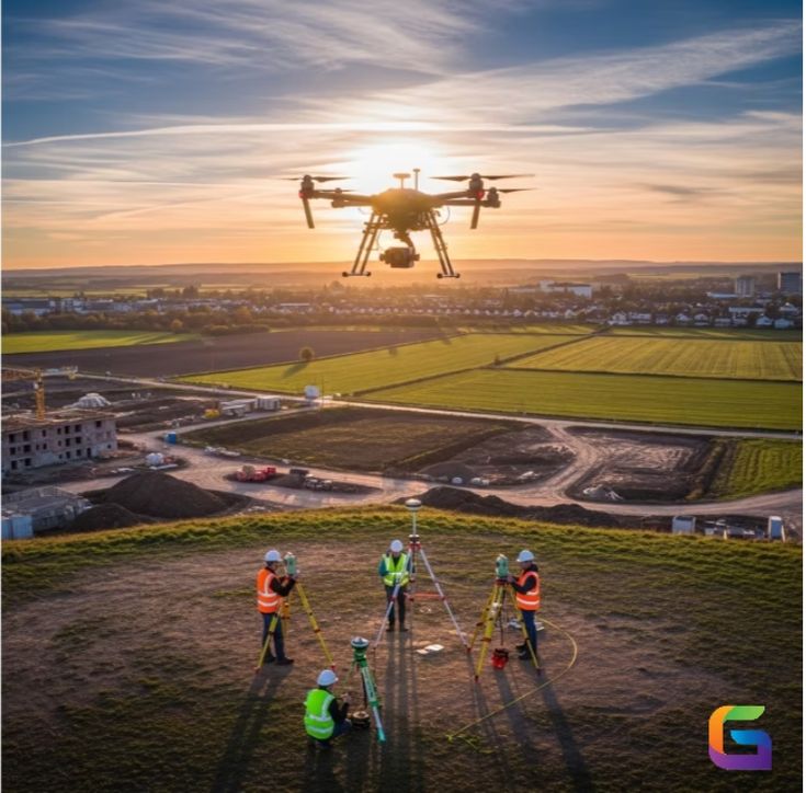
What digital mapping is
Digital mapping is the process of collecting, analysing, and presenting spatial data using modern tools. Compared with traditional methods, it delivers faster data collection, high-accuracy results, and a far clearer picture of the land and structures involved. Across the GCC it is used widely for urban development, infrastructure planning, land management, and building and engineering projects, because it turns a survey into something planners and engineers can actually work with.
Drone surveying in the GCC
Drone surveying has become one of the most efficient modern methods in the region. Using UAVs, surveyors capture high-resolution aerial imagery and data quickly, even over large or hard-to-reach sites. The advantages are clear: fast data collection across big areas, high accuracy and detailed visuals, safe surveying in difficult or restricted locations, and lower cost than many traditional methods. In practice it is used for topographic surveys, construction progress monitoring, road and infrastructure projects, and land development planning. Our drone survey services are built for exactly these conditions.
The goal is not just more data. It is data accurate enough to plan and build on without second-guessing.
LiDAR for high-accuracy surveys
LiDAR, short for Light Detection and Ranging, uses laser pulses to measure distances and build precise three-dimensional models of terrain and structures. It is valuable across Qatar, Saudi Arabia, and the UAE for mapping complex terrain, utility and infrastructure projects, smart-city and urban planning, and accurate contour and elevation mapping. Because it produces high-density data even in difficult conditions, LiDAR suits the large-scale projects the region is known for, and it pairs naturally with 3D laser scanning where built detail is needed.
GIS mapping and geographic data
Geographic Information Systems are how survey data becomes decision-ready. GIS lets engineers and planners combine layers, such as land features, utilities, and environmental data, into one view. Across the GCC it supports infrastructure planning and asset management, utility mapping and analysis, smart-city development, and risk assessment. GIS is what turns raw survey output into clear, usable information for both public and commercial projects.
Why it matters in the GCC
The region’s climate, large land areas, and rapid growth demand surveying that is accurate and dependable. Modern tools like drone surveying, LiDAR, and GIS reduce project risk, improve planning accuracy, speed up timelines, and support compliance with local regulations. Choosing an experienced provider with current equipment and local knowledge is what ensures the data is accurate, compliant, and delivered on time. Our digital mapping services bring these technologies together so projects across the GCC can be planned and built with precision. As the region keeps growing, this is no longer optional, it is how modern infrastructure gets delivered.