
Before any construction project begins, two services quietly decide whether it will be accurate, safe, and stable: surveying and geotechnical investigation. They are often confused, but they answer different questions. Surveying tells you about the surface. Geotechnical work tells you about what is underneath. Knowing the difference helps project owners make better decisions and avoid expensive mistakes.
In this article
What surveying is
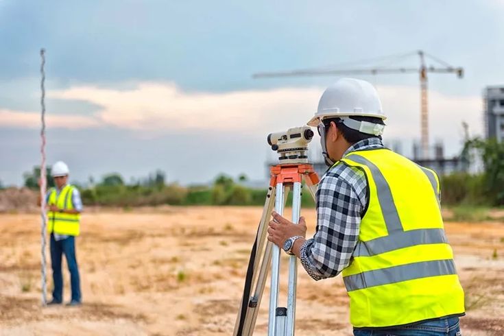
Surveying is about accurate land mapping and measurement. It establishes property boundaries, elevations, and site layouts, the surface information a design is built on. Our surveying services include boundary and land surveys, topographic surveys, GIS and digital mapping, drone and LiDAR surveys, and underground utility surveys. In short, surveying answers the question: what is here, and exactly where?
What geotechnical services are
Geotechnical services investigate the soil, rock, and groundwater beneath a site. These studies make sure ground conditions are properly accounted for in the foundation design. Our geotechnical services cover soil testing and analysis, borehole drilling, groundwater assessment, and geotechnical reports with foundation recommendations. Geotechnical work answers a different question: can the ground carry what you intend to build, and how?
Surveying measures the surface. Geotechnical work reads what is underneath. A project needs both answers.
The key difference
The simplest way to put it is this: surveying focuses on the surface of the land, while geotechnical investigation studies the subsurface. One maps where things are; the other tells you what the ground will do under load. They are complementary, not interchangeable, and treating one as a substitute for the other is how problems get missed.
Why you need both
Successful construction relies on the two working together. Surveying provides precise site data so the project is positioned and designed correctly, while geotechnical investigation confirms the ground is stable enough to build on. In markets like Saudi Arabia, Qatar, and the UAE, where soils vary widely and developments are large, both are essential for safety, compliance, and cost control. Skip either and you are designing with a blind spot.
Getting both from one partner
There is a real advantage to sourcing surveying and geotechnical work from a single provider: the surface and subsurface data line up, and nothing falls through the gap between two firms. Compass Arabia delivers both across the GCC with current technology and experienced specialists, helping clients reduce construction risk, meet regulatory requirements, and build safe, lasting foundations. You can see how the two fit together in our surveying and geotechnical services overview.