
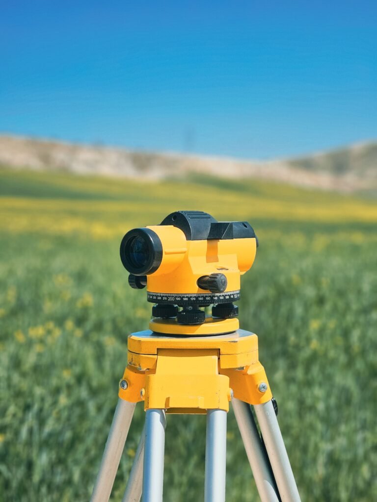
Every successful building and infrastructure project in Saudi Arabia, Qatar, and the UAE rests on accurate surveying and geotechnical work. With fast urban growth, large-scale developments, and difficult ground conditions across the GCC, professional surveying and soil investigation are no longer optional extras. They are the data the whole project is designed and built on.
In this article

Why the GCC needs surveying and geotechnical services
The Gulf presents conditions that punish guesswork: varied soils, reclaimed land, coastal developments, and large infrastructure programmes. Without accurate land data and subsurface investigation, projects risk settlement, mid-design changes, and expensive delays. Good surveying tells you exactly what is on the surface, and geotechnical investigation tells you what is underneath. Together they let engineers and developers make informed decisions before work starts, when changes are still cheap.
Our surveying services
Modern surveying goes well beyond a tape and a level. Using current instruments, it delivers precise data on boundaries, levels, and existing features, which feeds straight into design. Our surveying work covers:
- Topographic and digital mapping surveys
- Setting-out and layout surveys for construction
- Drone and aerial surveys
- As-built surveys and 3D laser scanning
- Underground utility detection
These support residential, commercial, industrial, and infrastructure projects across the region with accurate, efficient data.
Our geotechnical services
Geotechnical work is about understanding the soil, rock, and groundwater under a site, which is what stable foundations depend on. Our geotechnical services include borehole drilling and soil sampling, laboratory testing, foundation recommendations, groundwater assessment, and slope stability and risk evaluation. These investigations reduce construction risk and keep a design compliant with local and international standards, rather than leaving the foundation to assumption.
Every successful project in the Gulf starts with knowing the land, and the ground beneath it.
Technology that improves accuracy
Surveying and geotechnical projects in the GCC rely more and more on technology that raises accuracy while cutting time on site. Drone surveys, 3D laser scanning, GPR scanning, and digital mapping all capture more data, faster, and feed it straight into design and BIM. Used by experienced teams, current equipment delivers dependable results even on complex or large-scale work, and pairs naturally with structural assessment where existing buildings are involved.
Working across Saudi Arabia, Qatar and the UAE
Demand for professional surveying and geotechnical services keeps rising as the GCC develops, from commercial projects in Qatar to infrastructure in Saudi Arabia and urban expansion across the UAE. Regional experience matters here, because knowing local regulations, ground conditions, and construction practice is the difference between data that is technically correct and data that is actually useful on a Gulf site.
Why choose an experienced partner
The right surveying and geotechnical partner gives you accurate site data and reduced risk, safer foundation design, faster execution and approvals, and real savings from catching problems early. From planning through completion, that combination is what keeps a project on track. Compass Arabia brings the technology, the specialists, and the regional knowledge to deliver exactly that, so you can build with confidence and precision across the GCC.