 +974 7724 0272
 +966 50 204 4383
 +971 56 802 0406
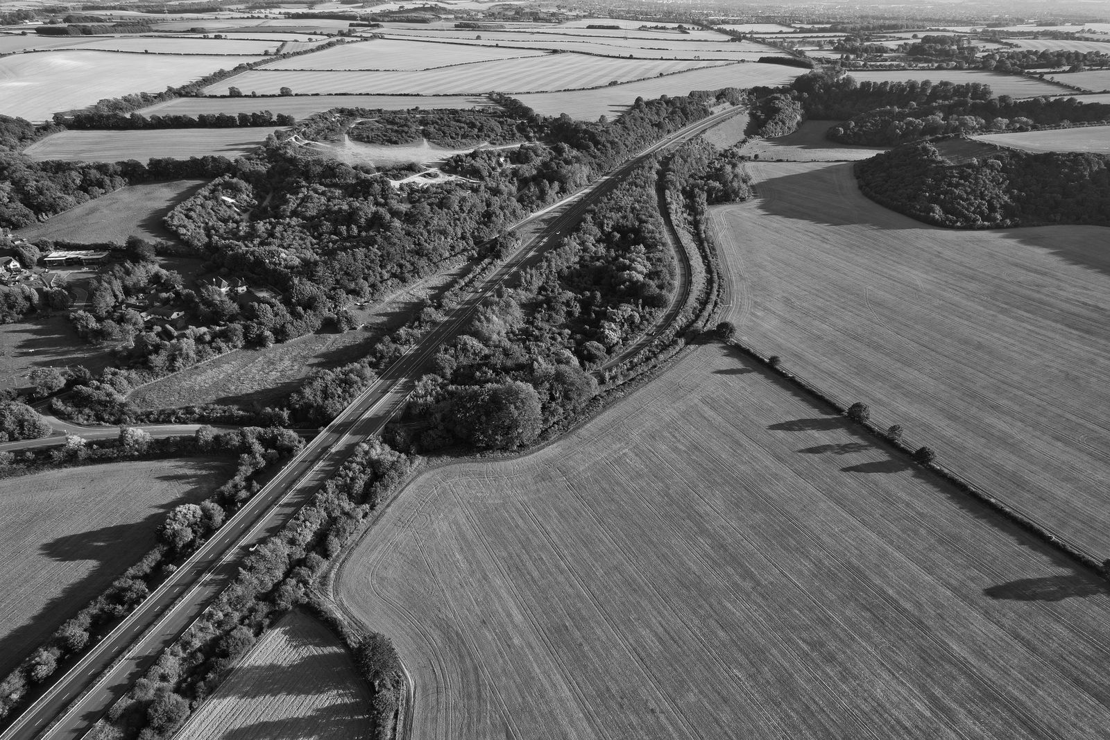
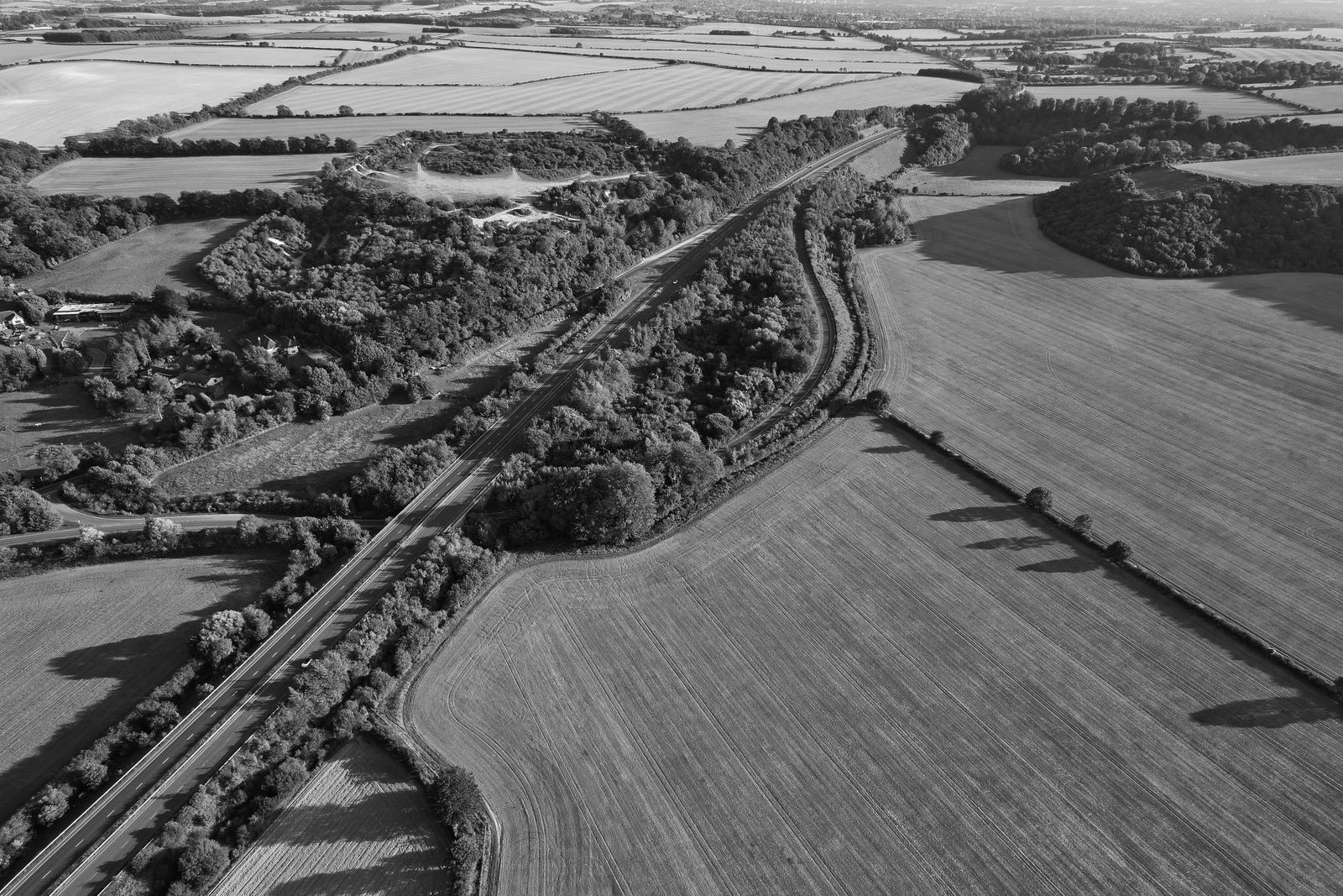
Ground penetrating radar in Qatar lets engineers see how wet the soil is without opening a single trench. A GPR survey reads the way radar waves slow down and bounce, and water changes both.
How penetrating radar sees water
A GPR antenna sends short pulses of radio energy into the ground and records what comes back. Every time the pulse meets a change in material, part of it reflects. The rest keeps going until it fades out.
Water matters because of a property called relative permittivity. Dry sand sits at a low value. Water sits at a very high one. Even a small rise in moisture raises the permittivity of the soil noticeably, and that slows the radar wave down. So the instrument never measures water directly. It measures how long the signal takes, and the water is inferred from that delay.
From travel time to moisture content
Once you know how fast the wave travels through a layer, you can work out the permittivity of that layer. A calibrated relationship then turns permittivity into volumetric water content. Engineers often use a published petrophysical model, but a local calibration against real samples is better.
There are two common ways to get velocity. One uses a reflector at a known depth, such as a buried plate or a pipe, and compares the measured travel time with the true depth. The other uses surface waves travelling directly between antennas. Both give a number for the upper soil, and neither is magic. They are only as good as the calibration behind them.
Radar gives you a velocity. Moisture is a calculation built on top of it, and the calculation deserves as much scrutiny as the scan.
Why Qatar ground is a hard test
Much of the ground in Qatar is sandy, carbonate-rich and often saline, with shallow groundwater in low-lying and coastal areas. Salt matters a great deal. Salty pore water conducts electricity, and conductive ground absorbs radar energy quickly. Penetration depth can drop from several metres to well under one.
That does not make GPR useless here. It means the technique has to be matched to the site. Dry inland sand can scan beautifully. A reclaimed coastal plot with brackish water close to the surface is a very different problem. Anyone selling a blanket depth figure for the whole country is guessing.
What a GPR survey for soil water involves
A proper GPR survey starts with a question. Are you looking for the depth of the water table, a wet patch behind a retaining wall, or leakage around a buried service? The answer sets the antenna frequency, the line spacing and how much ground truth you need.
On site, the operator pushes or tows the antenna along a planned grid and logs position as it moves. Lower frequencies reach deeper but resolve less detail. Higher frequencies show fine layering but fade sooner. Back in the office the data is filtered, the velocity is calibrated, and the reflections are interpreted into depth and moisture zones.
Ground truth is not optional. A few cores, probes or hand samples tied to the scan turn a pretty image into a reliable result. Our underground utilities and GPR team pairs scans with checks like these as standard practice.
Where geo radar falls short
Clay-rich layers and salty water are the two big limits. Both attenuate the signal and can hide what sits beneath. Heavily reinforced concrete, dense metal debris and very rough surfaces also scatter energy and muddy the record.
There is also the question of resolution. GPR is excellent at showing where moisture changes. It is less precise about exact percentages unless the calibration is tight. For a design decision that depends on a single number, pair it with direct measurement, or with a wider geotechnical investigation.
Choosing GPR services
Ask a provider what they will do about calibration and ground truth. Ask how they will handle saline ground. Ask what the deliverable looks like: depth slices, cross-sections, a plan showing moisture zones, or just a raw file. A vague answer to any of these is a warning sign.
It also helps when scan data feeds into the rest of the project. Moisture zones plotted against a site plan are far more useful when the base map is accurate, which is where wider surveying services come in. Used well, geo radar saves excavation, shortens investigations and shows problems before they become expensive.
If you have a site where soil water is a question, tell us what you are trying to decide and we will recommend the right approach.