
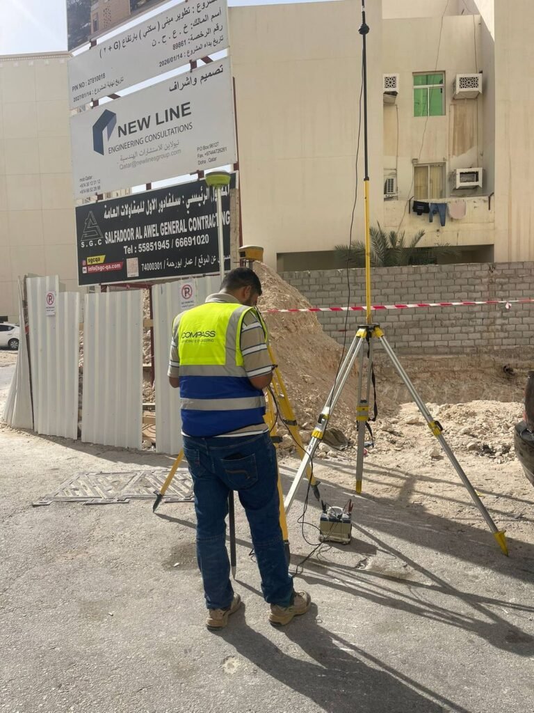
A topographic survey is one of the most important steps before any building or infrastructure project begins. In fast-developing markets like the UAE, Saudi Arabia, and Qatar, accurate topographic data is what makes safe planning, sound design, and efficient delivery possible. It is the measured picture of the site that every later decision depends on.
In this article
What a topographic survey is
A topographic survey records the natural and man-made features of a site: ground levels, contours, existing buildings, roads, utilities, and boundaries. The result is the surface data and elevation detail that engineers and architects need to design and plan. In short, it tells you the exact shape of the land and what is already on it, measured rather than estimated.
Why it matters before construction
Accurate site data lowers risk at every stage of a project. A topographic survey lets you understand the site conditions before building, plan earthworks and drainage accurately, avoid costly design errors and revisions, support local authority approvals, and deliver the project safely and efficiently. Without it, design happens on assumptions, and assumptions about levels and drainage are exactly the kind that get expensive once machines are on site.
Every successful project starts by knowing the exact shape of the ground it sits on.
The technology used
Professional surveying firms in the GCC combine several tools to capture topographic data accurately and quickly:
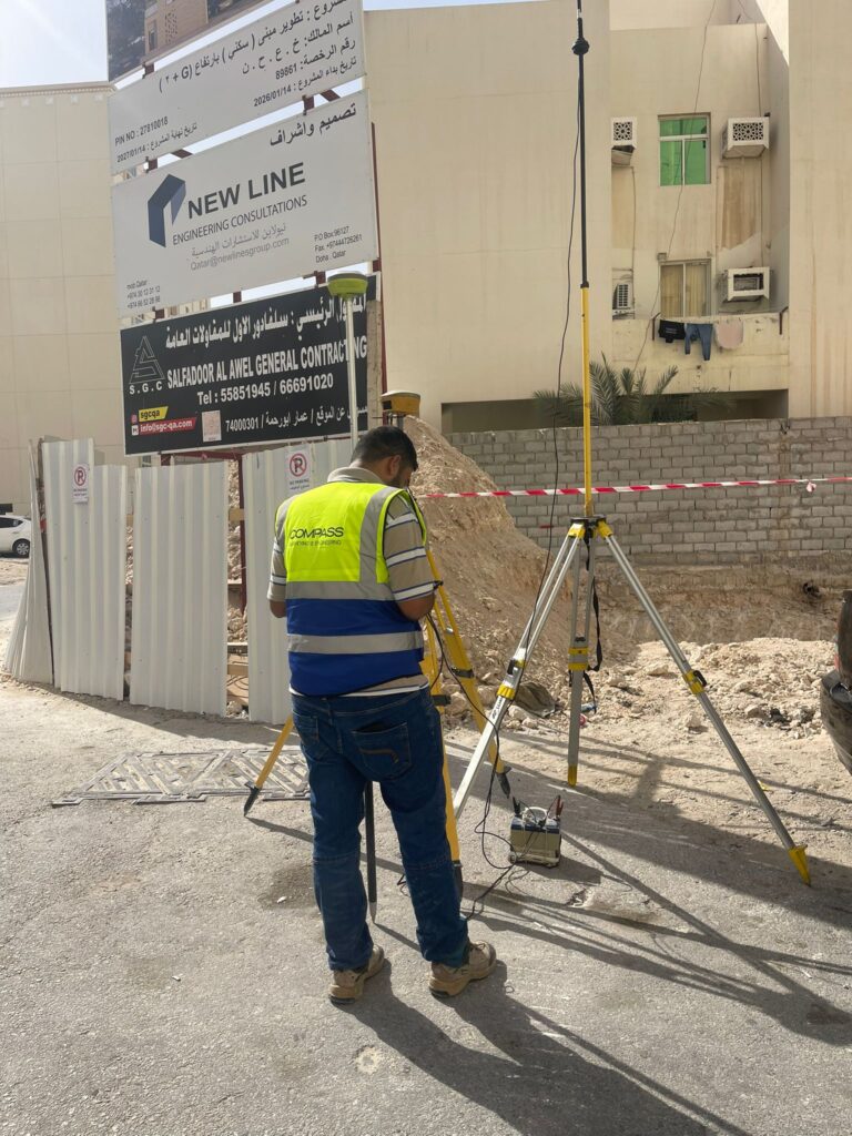
- GPS equipment and total stations for precise ground measurement
- Drone surveys for large or complex sites
- 3D laser scanning for detailed mapping
- GIS systems and digital mapping for managing and presenting the data
Together these deliver accurate measurements and faster turnaround than traditional methods alone.
Where topographic surveys are used
Topographic surveys support a wide range of work: building and villa construction, road and infrastructure projects, land development and subdivision, utility and drainage planning, and environmental and feasibility studies. Wherever levels, drainage, or boundaries affect the design, a topographic survey belongs at the start.
What you receive across the GCC
A reliable survey is delivered to meet local and international standards, with accurate contour maps, digital data, and drawings tailored to the project. Across Qatar, Saudi Arabia, and the UAE, experienced survey teams turn raw site measurement into clear deliverables an engineer can design from. Any successful construction project starts with a good topographic survey, and with current technology and local expertise, developers and engineers get precise planning, lower risk, and better results.