 +974 7724 0272
 +966 50 204 4383
 +971 56 802 0406
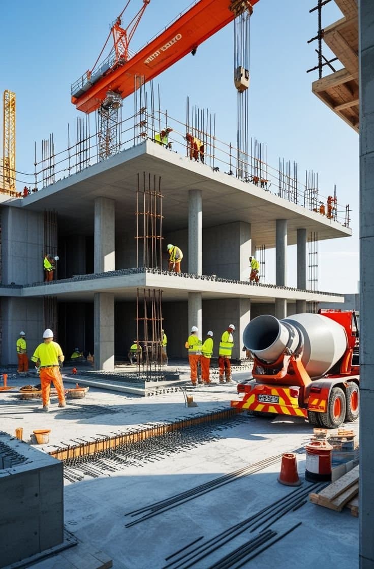
Saudi Arabia and Qatar are among the regional leaders in smart construction. Driven by Saudi Vision 2030 and Qatar National Vision 2030, both are adopting advanced technology quickly to modernise how cities and infrastructure are built. The future of smart construction here is about more than modern buildings and roads. It is about safer, more efficient, more sustainable communities.
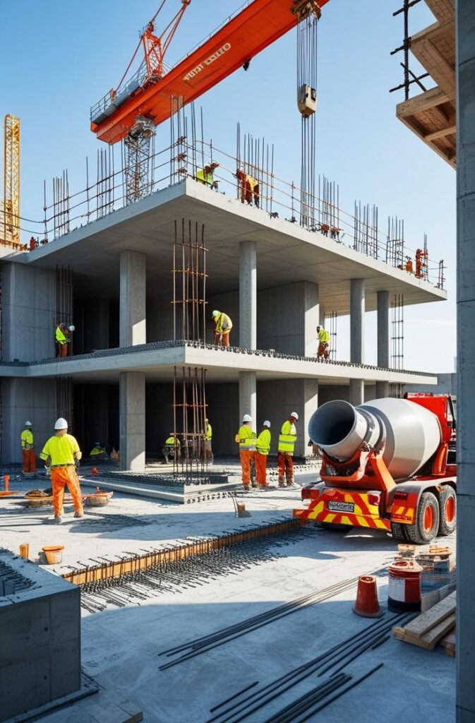
What smart construction means
Smart construction brings digital tools, the Internet of Things (IoT), artificial intelligence, and real-time data into how projects are planned, built, and maintained. In Saudi Arabia and Qatar it is being used to improve safety, energy management, urban planning, and connectivity. The common features include real-time monitoring with IoT sensors, predictive maintenance systems, advanced 3D modelling and digital mapping, AI-assisted resource optimisation, and sustainable design.
Qatar’s approach
High-quality smart infrastructure is a core part of Qatar National Vision 2030, which links environmental, economic, and quality-of-life goals. Major developments such as Lusail City show the direction: precise digital mapping for urban design, smart navigation and mobility systems, renewable energy integrated into the city grid, and accurate 3D modelling of structures. Reliable land mapping and geotechnical assessment underpin all of it, because smart systems still have to sit on well-understood ground.
A smart city is only as reliable as the data and the ground it is built on.
Saudi Arabia’s approach
Saudi Vision 2030 puts smart infrastructure at the centre of the country’s transformation. Giga-projects such as NEOM point to AI-led city planning, smart grids powered by renewable energy, precise 3D laser scanning for asset capture, and mapping technology used to optimise land use. Tourism-focused developments along the Red Sea add real-time environmental monitoring and modern geotechnical study to ensure safe building. Projects at this scale depend on accurate survey and mapping data to keep the smart layer grounded in reality.
The technologies driving it
A few capabilities do most of the heavy lifting. 3D laser scanning captures site data at very high accuracy and supports digital twins for simulation and ongoing analysis. Geotechnical investigation confirms soil, groundwater, and foundation conditions so smart structures are built on stable ground. And digital mapping provides the precise geographic data behind roads, utilities, and urban space. Together they turn ambitious smart-city plans into something buildable.
Where it is heading
The shift to smart infrastructure across Saudi Arabia and Qatar is well under way, and it will keep accelerating as both countries pursue their 2030 goals. Smart connectivity is becoming the foundation for long-term economic growth, urban development, and quality of life. Compass Arabia supports that shift with land surveys, digital mapping, geotechnical investigation, and 3D laser scanning across both markets, helping deliver the next generation of smart cities and infrastructure.