
A crack that looks cosmetic in September can be a structural concern by spring, and the only way to tell the difference is measurement, not a guess. LiDAR scanning replaces that guesswork with a dataset you can actually compare over time.
In this article
What a LiDAR building scanner actually measures
LiDAR (light detection and ranging) fires laser pulses at a surface and times how long each one takes to return. A scanner does this millions of times a second, whether it is mounted on a tripod, carried through corridors, or flown on a drone across a roofline. The output is a point cloud: a dense three-dimensional map of every wall, slab, beam, and duct run, typically accurate to a few millimetres.
That precision is what separates a proper building condition survey from a visual walkthrough with a notepad. A spirit level tells you a wall is out of plumb. A scan tells you by how much, over what length, and whether the lean matches a known settlement pattern from twenty years ago or something that started last month. For older buildings across Qatar and the wider Gulf, where original drawings are often missing or inaccurate, the scan becomes the first reliable record the building has ever had.
What a site walk alone tends to miss
An experienced inspector can spot a lot with a torch and a camera: spalling concrete, water staining, an obvious lean in a parapet. What they cannot do reliably is measure movement against a fixed baseline, because there usually is no baseline. Paint and render also hide plenty. A hairline crack papered over during a routine repaint can be the surface expression of movement happening well below, in a slab or a foundation, and a torch will not tell you that.
Cladding and facade panels are a particular blind spot. Panels can bow or shift by amounts too small to see from the ground but large enough to matter structurally, especially on taller commercial towers where thermal cycling is constant. A scan catches that deviation the first time it is run, which is the whole point: you cannot manage a risk you cannot measure.
Turning a point cloud into a usable condition report
Raw point cloud data is not a report; it is millions of coordinates. The useful work happens afterward, when that data is registered against as-built drawings, or against a previous scan of the same structure, and the differences are flagged. Software overlays the two datasets and highlights where a wall has moved, where a floor has deflected, or where a beam no longer sits where the drawings say it should.
The output a client actually reads is a condition report: annotated sections, measured deviations, and photographs cross-referenced to exact locations in the model. That combination, precise geometry plus a plain description of what changed, is what makes the survey useful to an engineer, an insurer, or a facilities team deciding what to prioritise this quarter.
Where scanning fits into building information management
Scan data does not have to stop at a static report. Registered point clouds feed directly into building information management models, giving a facilities or design team a living 3D reference instead of a flat PDF. That matters most on renovation and fit-out projects, where the existing structure rarely matches the original drawings after years of small changes nobody documented.
Once a building exists as an accurate model, every later trade, MEP, structural, architectural, works from the same coordinates. Clash detection during a refurbishment becomes a modelling exercise instead of a site surprise discovered when a new duct run hits an undocumented beam.
Structural assessment and ongoing monitoring
A single scan is a snapshot. Repeated at intervals, six months, a year, after a nearby excavation, it becomes a monitoring record. Comparing scan to scan shows whether a crack is stable or widening, whether a slab is still settling, or whether last year’s repair actually held. That comparison sits at the core of a proper structural assessment, particularly for older buildings, post-tension structures, or anything sitting near new construction where ground movement is a live risk.
The value of a scan is not the first one. It is the second one, compared against the first, that tells you whether a building is stable or moving.
Insurers and lenders increasingly ask for this kind of documented history before renewing cover or releasing funds on ageing commercial stock, which makes a scan record an asset in its own right, not just a maintenance tool.
What a scan involves on a working building
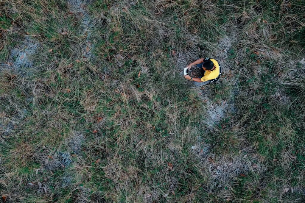
A scan does not require shutting a building down. A survey team sets up a tripod-mounted or handheld scanner and works through the space in stages, floor by floor or zone by zone, while normal activity continues around them. Exterior and roof scanning is often done by drone, which is faster on large footprints and avoids the access risk of rope work on a tall facade.
Timeframes depend on the size and complexity of the building, but a mid-size commercial asset across Qatar or the UAE typically takes a few days on-site, with the registered model and condition report following once the data is processed. For a project team weighing up 3D laser scanning against a conventional survey, the deciding factor is usually this: a conventional survey tells you what a building looked like on the day someone walked through it, while a scan gives you a dataset you can return to and measure against, year after year.
Architectural and engineering teams working on additions, retrofits, or heritage buildings get the most from this approach, because the model becomes the single reference every consultant designs against, rather than each trade working from a slightly different assumption about what is actually there.
Getting a building’s true condition on record early, before a defect becomes a dispute or a lender’s condition of finance, is the difference between managing risk and reacting to it. A scan is the fastest way to know which position you are in.