
What Does a Property Surveyor Do? A Complete Guide
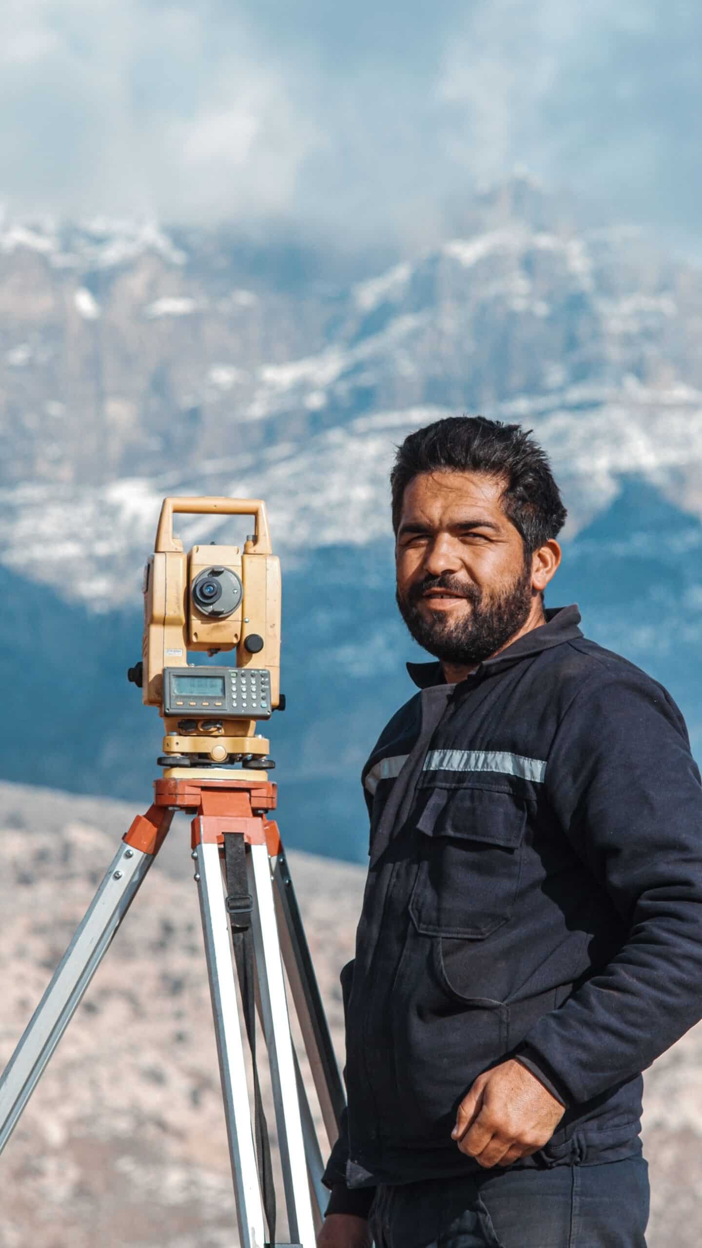
A property surveyor checks structure, boundaries and condition to give buyers, sellers and lenders a valuation they can actually...
Compass Arabia is a professional surveying and engineering company in the GCC, established with a single, unwavering purpose — to deliver the highest standard of technical surveying, geotechnical, and digital engineering services to the projects and organisations that are shaping the future of the Gulf region.
We are not a generalist engineering firm that treats surveying as a secondary offering. We are specialists. Every service we provide, every professional we employ, every piece of equipment we operate, and every report we deliver is focused on one discipline — precision technical services for the built and natural environment. That focus is what makes us different, and it is what makes our clients trust us with their most critical projects.
From the megaprojects of Saudi Arabia’s Vision 2030 to the infrastructure programs of the UAE, Qatar, Kuwait, Bahrain, and Oman, Compass Arabia is actively supporting some of the most ambitious construction and development programs in the world. Our work begins where every project begins — with the ground, the site, and the data — and our expertise ensures that the foundation upon which every project is built is accurate, thoroughly investigated, and fully documented.
We are proud to be a professional surveying and engineering company that the GCC’s leading developers, contractors, government authorities, and design consultancies rely on — not because we are the cheapest option, but because we are the right one.
Compass Arabia was founded by a team of experienced surveyors and engineers who recognised a clear gap in the GCC market. The region was growing at an extraordinary pace, project complexity was increasing, regulatory demands were tightening, and the adoption of digital engineering technologies — BIM, 3D laser scanning, UAV surveying, GPR — was accelerating. Yet the market was dominated either by large multinational firms whose GCC presence was thin and whose attention to mid-tier projects was limited, or by smaller local operators who lacked the technical depth, equipment quality, and professional standards that serious projects demanded.
Compass Arabia was built to occupy the space in between — and to do so without compromise. A company with the technical capability and professional standards of an international firm, combined with the regional knowledge, commercial agility, and genuine client commitment of a locally rooted business.
Since our establishment, we have grown steadily — not by chasing volume, but by delivering quality. Every project completed to the standard we promised. Every client relationship built on transparency and technical integrity. Every team member selected for expertise, not just availability. That approach has earned us a reputation as one of the GCC's most trusted professional surveying and engineering companies — and it is the standard we hold ourselves to on every single engagement.
Our surveying services cover topographic, boundary, control, construction, and as-built surveys — providing the precise spatial data that underpins every phase of project delivery. Our geotechnical services deliver subsurface investigation, soil and rock testing, and foundation engineering analysis across the GCC’s diverse and challenging ground conditions.
Our 3D laser scanning services use the latest terrestrial and mobile LiDAR technology to capture existing conditions with extraordinary speed and accuracy. Our BIM services support clients and project teams in meeting GCC mandatory BIM requirements and unlocking the full value of digital project delivery.
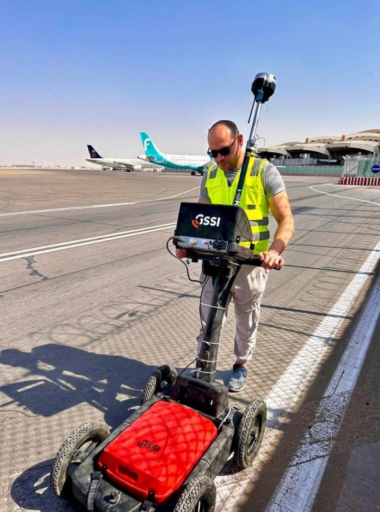
Our underground utilities survey services, using Ground Penetrating Radar (GPR), locate and map buried infrastructure before construction begins — protecting lives, schedules, and budgets. Our structural assessment services provide independent condition surveys and engineering evaluations of existing buildings and infrastructure assets. And our digital mapping services produce accurate, GIS-integrated maps and spatial datasets for urban planning, asset management, and smart city applications.
Together, these services make Compass Arabia a single, integrated technical partner capable of supporting clients from the earliest stages of site selection and ground investigation through design, construction, and long-term asset management.
The culture of Compass Arabia is defined by five core values that guide every decision we make, every service we deliver, and every relationship we build.
We hold ourselves to the highest standards of technical accuracy in everything we do. In our discipline, close enough is never good enough. We check, verify, and validate — because our clients’ projects depend on it.
We tell clients what they need to hear, not what they want to hear. Our reports and recommendations are always honest, independent, and evidence-based. Our professional reputation is built on trust, and we protect it absolutely.
We hire qualified, experienced specialists and invest in their continuous professional development. Our teams are not just technically competent — they are genuinely knowledgeable about the GCC’s unique environments, regulatory frameworks, and project dynamics.
We embrace new technologies and methodologies that make our services faster, more accurate, and more valuable for clients. We are early adopters of tools that genuinely improve outcomes — not followers of trends that add noise without substance.
We treat every client engagement as a long-term relationship, not a transaction. We invest in understanding our clients’ objectives, respond with genuine commercial flexibility, and measure our success by theirs.
To deliver precision technical services that empower engineers, developers, and governments across the GCC to build, plan, and manage with complete confidence — through relentless commitment to accuracy, professional integrity, and the intelligent application of technology.
At Compass Arabia, our mission is not a statement we put on a wall. It is the standard against which we measure every piece of work that leaves our offices. We exist to give our clients data they can depend on, analysis they can act on, and a technical partner they can trust. We achieve that mission through the quality of our people, the rigour of our processes, and our refusal to compromise on standards — regardless of project size, timeline pressure, or commercial complexity.
We believe that technical accuracy is not just a professional obligation — it is a moral one. The reports we write, the models we build, and the surveys we conduct influence decisions that affect public safety, structural integrity, and the long-term performance of assets that serve communities for generations. We take that responsibility seriously, and our mission reflects it.
To be the most respected professional surveying and engineering company in the GCC — recognised for technical excellence, regional expertise, and a culture of integrity that sets the standard for the industry.
Our vision is not measured in revenue targets or office locations. It is measured in the reputation we build — project by project, client by client, report by report. We want to be the company that the GCC’s most demanding project owners and technical professionals name first when they are asked who they trust for surveying, geotechnical, and digital engineering services in the region.
We are building toward that vision by continuously investing in our people, our technology, and our processes. By expanding our regional presence to serve clients wherever in the GCC their projects take them. By staying at the forefront of emerging technologies — from UAV photogrammetry and mobile LiDAR to AI-assisted geotechnical analysis and cloud-based BIM collaboration. And by maintaining, without exception, the professional standards and personal accountability that define who Compass Arabia is and what we stand for.
The GCC is building its future at a pace and scale the world is watching. Compass Arabia’s vision is to be an essential part of that story — the technical foundation that serious projects are built on.














































Compass Arabia’s greatest asset is its people. Our team includes licensed land surveyors, chartered geotechnical engineers, certified BIM managers, UAV survey pilots, GPR operators, structural engineers, GIS specialists, and digital mapping professionals — all with significant GCC regional experience.
Every senior professional in our team holds internationally recognised qualifications from bodies including the Royal Institution of Chartered Surveyors (RICS), the Geological Society, the Chartered Institution of Civil Engineering Surveyors (CICES), and relevant regional registration authorities. We maintain strict professional development programs to ensure our team stays current with evolving standards, technologies, and best practices.
Beyond qualifications, we hire for character. The professionals who represent Compass Arabia on your project are people who take ownership, communicate clearly, and hold themselves accountable for the quality of their work. That professional culture is not an accident — it is something we build deliberately and protect actively.
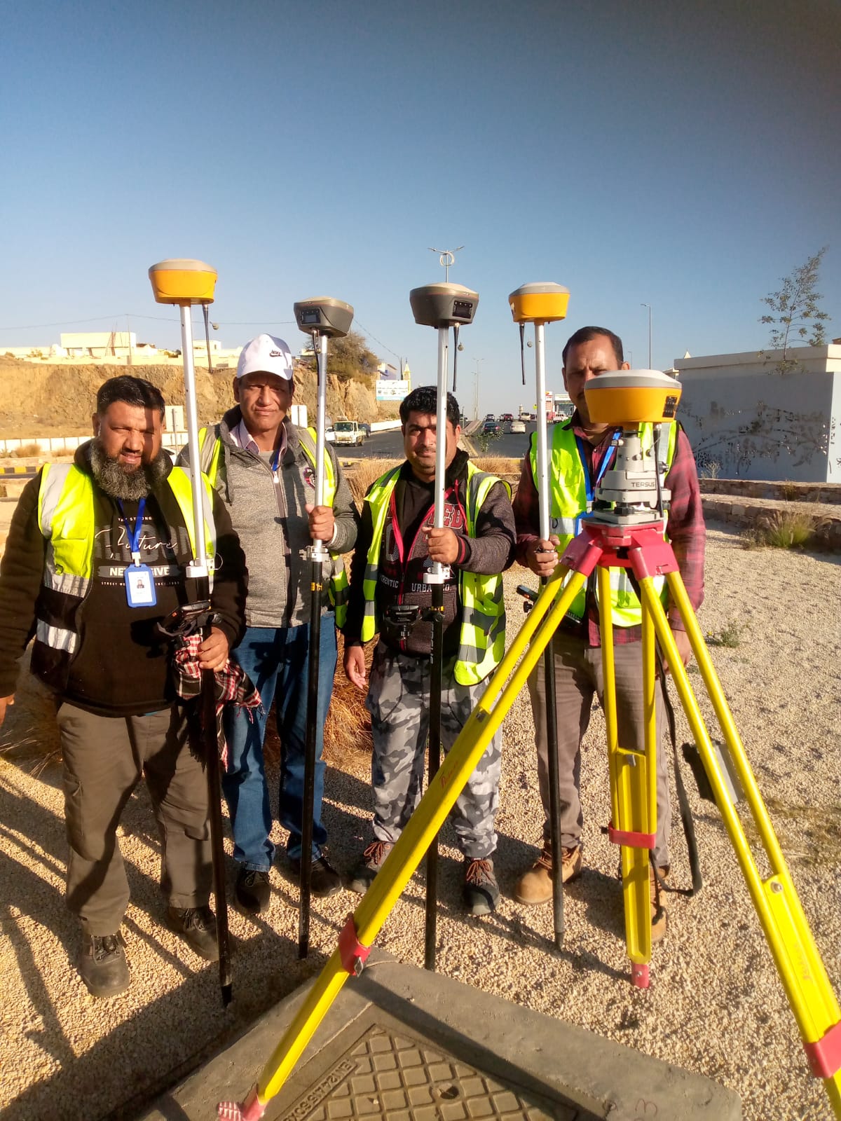
As a professional surveying and engineering company with active operations across the GCC, Compass Arabia serves clients in Saudi Arabia, the United Arab Emirates, Qatar, Kuwait, Bahrain, and Oman. Our regional presence means we understand the specific regulatory environments, ground conditions, climatic factors, and project dynamics of each market — not in theory, but from direct, repeated, practical experience.
We operate from strategically located offices that allow us to mobilise quickly, respond efficiently, and maintain the close client relationships that our service model depends on. Whether your project is in central Riyadh, coastal Abu Dhabi, industrial Jubail, the new cities of NEOM, or the developing infrastructure of Muscat — Compass Arabia can be there, with the right team and the right equipment, when you need us.
Compass Arabia operates under a robust quality management framework aligned with ISO 9001 standards. Every survey, investigation, and technical report we produce passes through a structured quality assurance process — from field data collection and laboratory testing through to report review and final delivery.
Our work complies with all relevant international technical standards including British Standards (BS), American Society for Testing and Materials (ASTM), American Association of State Highway and Transportation Officials (AASHTO), and Eurocode — as well as the specific technical requirements of regulatory authorities across all GCC nations.
We are committed to Health, Safety & Environment (HSE) best practice on every site we operate, with trained safety officers, comprehensive risk assessments, and a zero-compromise approach to protecting our people, our clients’ teams, and the communities in which we work.
Stay Updated with Industry Insights
A property surveyor checks structure, boundaries and condition to give buyers, sellers and lenders a valuation they can actually...
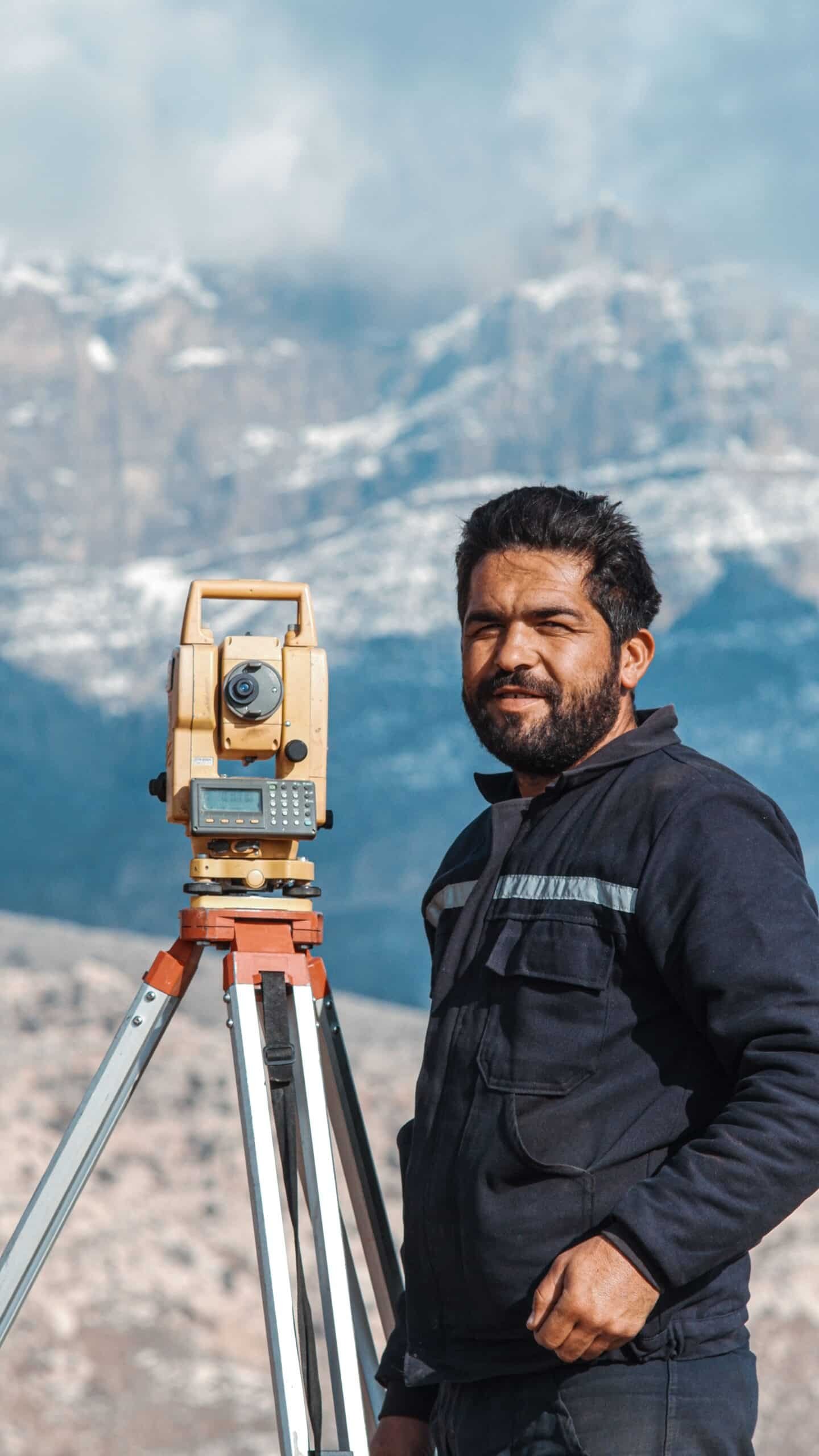
Drone surveying speeds up site inspections across Qatar and the GCC, cutting access risk and catching issues a standard...
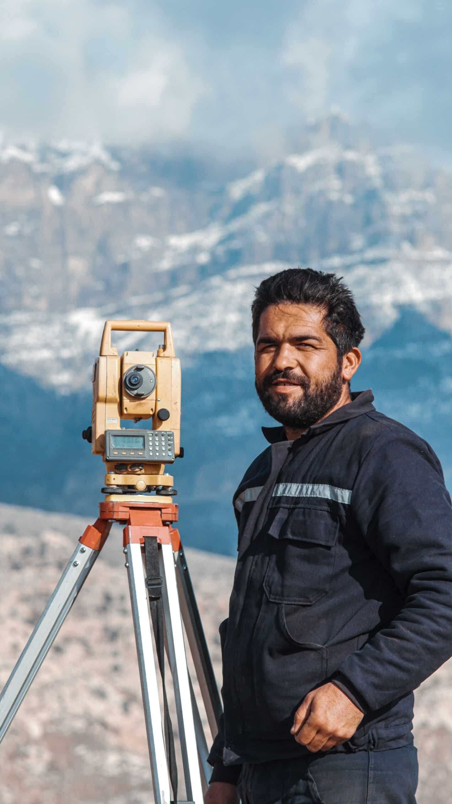
A practical guide to hydrographic surveys for marine and coastal projects in Qatar and the Gulf: what they measure,...
Compass Arabia operates primarily in Qatar and Saudi Arabia, providing expert surveying and contracting services to both public and private sector client
We utilize state-of-the-art technology and ISO-certified processes to deliver highly accurate and reliable surveys. Our experienced team ensures that all projects comply with industry standards and regulations.
By leveraging advanced GPS technology, drone surveys, and 3D mapping, we guarantee precision in every project. Our commitment to quality control ensures that all measurements and data points align with project requirements
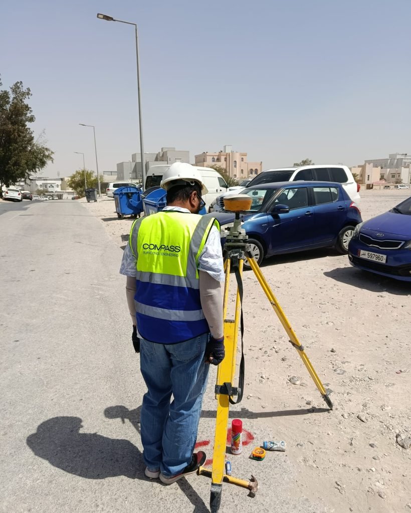
Surveying is essential for accurate land measurement, site planning, and layout positioning. It helps prevent construction errors and legal disputes, ensuring compliance with design specifications.
An as-built survey documents the exact dimensions and locations of completed structures. This ensures that construction matches design specifications and assists in future modifications or expansions.
Before any excavation or construction, it is vital to identify underground infrastructure like pipes, cables, and sewer lines to avoid costly damage and ensure site safety.
Drone technology enables faster, safer, and more cost-effective surveying, providing high-resolution aerial data for improved project planning and monitoring.
A bathymetric survey maps underwater terrains to assess depths and features. This is crucial for marine construction, environmental studies, and coastal infrastructure planning.
When supplying materials, we focus on:Durability – Ensuring materials withstand environmental conditions. Quality Assurance – Sourcing from trusted suppliers. Compliance – Meeting industry safety and regulatory standards.
Accurate land surveys, underground utility detection (GPR), soil testing, and geotechnical investigations prevent structural risks, ground failure, and construction errors. Proper site analysis and digital mapping ensure safe design, stable foundations, and long-term durability of roads, buildings, and infrastructure projects.
A setting-out survey transfers a building design onto land, ensuring accurate placement and alignment. It is essential for avoiding construction errors.
Topographic surveys provide detailed elevation and terrain data, helping engineers and architects plan developments while identifying potential site challenges.
Common challenges include unforeseen ground conditions, regulatory updates, and project delays. At Compass Arabia, we mitigate risks through thorough site analysis, proactive planning, and adaptive project management.
ISO certification ensures that our services meet international quality and safety standards, guaranteeing precision, reliability, and customer satisfaction.
ISO certification ensures that our services meet international quality and safety standards, guaranteeing precision, reliability, and customer satisfaction.
If you are looking for a professional surveying and engineering company in the GCC that combines genuine technical depth, regional expertise, modern technology, and a culture of professional integrity — Compass Arabia is ready to be your partner.
Whether you need a preliminary geotechnical investigation for a new development, a precise topographic survey for a masterplan, a 3D laser scan of an existing facility, a BIM model for a complex structure, a GPR utility survey before excavation, a structural assessment for a property transaction, or a digital mapping program for a smart city initiative — we have the people, the tools, and the track record to deliver it to the standard your project demands.
Contact Compass Arabia today. Tell us about your project, your timeline, and your technical requirements. We will respond with expert advice, a clear proposal, and the commitment of a team that takes professional pride in every piece of work it puts its name to.
Compass Arabia — A Professional Surveying & Engineering Company Built for the GCC.
Precision you can build on. Expertise you can trust. A partner you can count on.