 +974 7724 0272
 +966 50 204 4383
 +971 56 802 0406
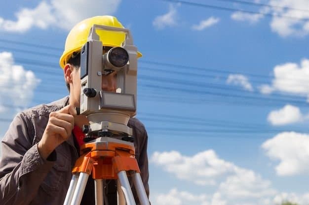
Construction and infrastructure in Saudi Arabia and Qatar demand precision, speed, and reliable data, and as projects get more complex, manual measurement no longer keeps up. 3D laser scanning has become the practical answer, capturing real-world conditions as highly accurate digital data for planning, design, construction, and asset management. It gives engineers, contractors, and developers a true picture of a site or structure, which reduces errors and keeps projects efficient.

What 3D laser scanning is
3D laser scanning is a non-contact surveying method that uses laser beams to record millions of measured points, known as a point cloud. Those points form a precise three-dimensional representation of a building, structure, or environment. It is commonly used for as-built documentation, construction verification, renovation and retrofit work, and industrial plant and equipment. Because it is non-contact, teams can capture accurate data without interrupting how a site or facility operates.
Why it matters in Saudi Arabia and Qatar
Rapid urban growth, large-scale projects, and strict quality standards make precision essential across the GCC. Scanning delivers accurate site detail even in difficult settings such as complex infrastructure, industrial facilities, and tall structures. It captures millions of measurements quickly, which means faster data collection and more complete documentation than manual methods. It also catches clashes, deviations, and design problems early through accurate as-built data, which saves time and cost later. And because the scanner works without contact, surveys finish without interfering with ongoing operations, which improves safety on a live site.
Scanning captures the site as it is, not as the drawings hope it to be.
Where it is applied
Across Saudi Arabia and Qatar, scanning is used widely. On building and infrastructure projects it compares design models against real site conditions, tracks progress, and verifies accuracy. For as-built documentation and BIM, scan data integrates with the model to produce reliable records for future maintenance and upgrades. On renovation and repair projects it is ideal when original drawings are outdated or missing. And in industrial plants it documents complex mechanical, electrical, and piping networks that would be slow and risky to measure by hand.
The advantages
The benefits are consistent across project types:
- Highly accurate measurements.
- Faster project completion.
- Better coordination between teams.
- Decisions based on real, measured conditions.
- Savings from avoided rework.
- Stronger quality assurance.
Together these make scanning a core tool rather than a specialist add-on, especially where a mistake on a large or complex structure is expensive to fix.
What to expect from a provider
A capable provider brings high-resolution scanning hardware, experienced survey and BIM specialists, accurate point cloud processing, and clear as-built reports and drawings delivered on a workable timeline. Compass Arabia offers 3D laser scanning services in Saudi Arabia and Qatar built around exactly that, with the scan feeding directly into our BIM services so the data stays useful well beyond the survey. As construction standards in the region keep rising, scanning is how teams hold precision, efficiency, and quality together from planning through handover.