 +974 7724 0272
 +966 50 204 4383
 +971 56 802 0406
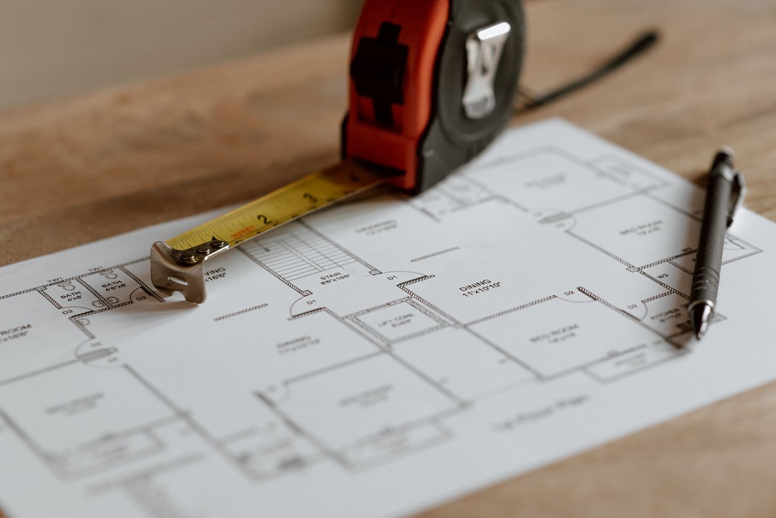
A geophysical survey lets a project team see underground conditions without digging a single trench. On modern construction projects, that early picture of the ground often decides whether work runs to plan or stops for a surprise.
What a geophysical survey actually does
Every geophysical survey measures a physical property of the ground and looks for places where that property changes. Radar waves reflect off a pipe. Electrical resistance climbs where there is dry rock and drops in wet, salty soil. Magnetic readings shift around buried metal.
None of this requires disturbing the site. That is the whole appeal. A borehole tells you about one small column of earth. A geophysical survey tells you what happens between the boreholes, which is where most of the trouble hides.
It is not a replacement for intrusive testing. Think of it as the map that tells you where to dig and drill, so you spend less time doing both.
Geophysical survey methods used on site
No single tool suits every job. The main geophysical survey methods on construction work are these:
- Ground penetrating radar (GPR): fast, high resolution, ideal for shallow targets such as utilities, voids and rebar.
- Electrical resistivity: good for mapping rock depth, moisture and saline zones, and for finding cavities.
- Seismic refraction: estimates how stiff the ground is and how deep bedrock sits.
- Magnetometry and electromagnetic profiling: pick out buried metal, old tanks and disturbed fill.
Each method has a blind spot. Radar struggles in conductive, salty soil. Resistivity gives a blurry picture of small objects. A good surveyor combines two methods when the stakes are high and says plainly which one the site suits best.
Ground penetrating radar and buried services
Of all the tools, ground penetrating radar is the one clients ask for by name. It sends short pulses into the ground and records the echoes, building a cross-section as the antenna is pushed along a grid.
On a live site, the biggest payoff is finding what drawings forget. Records of old cables, abandoned ducts and relocated pipes are often incomplete, and an excavator bucket does not read drawings. Our underground utilities survey work uses GPR together with electromagnetic locators so one method can check the other.
One honest caveat. Radar shows a reflection, not a label. A trained interpreter decides whether that hyperbola is a duct, a boulder or a root. Cheap results from an untrained operator are worse than no results, because they create false confidence.
A scan only helps if someone competent reads it and is willing to say what the data cannot show.
Where it pays off on construction projects
The value of geophysics on construction projects comes from timing. Surprises found before design cost a revision. Surprises found during excavation cost a stoppage, a claim and sometimes a safety incident.
Four uses come up again and again:
- Utility clearance before piling, trenching or coring.
- Void and cavity detection under slabs, roads and planned foundations.
- Rock and fill mapping so the geotechnical team places boreholes where they will learn the most.
- Concrete scanning to locate reinforcement and post-tension cables before cutting openings.
The third point is underrated. Geophysics often makes a ground investigation cheaper, not more expensive, because boreholes stop being spread on a blind grid. It pairs naturally with our geotechnical engineering services, where the survey guides the drilling and the lab results then calibrate the survey.
What archaeology teaches builders
Geophysical survey archaeology has been refining these tools for decades. Archaeologists need to find walls, ditches and foundations without excavating them, so they developed careful grid methods, tight positioning and patient data processing.
Construction borrows directly from that discipline. Dense, evenly spaced grids, clear survey control and processing that shows its assumptions are all habits that came from heritage work. The lesson for builders is simple: coverage and positioning matter as much as the instrument. A beautiful scan that is a metre out of position is a liability.
It also matters locally. Across the Gulf, development often sits on land with a long history of settlement, old wells and buried structures. Knowing what is down there before design is far kinder to a schedule than discovering it mid-dig.
Choosing the right survey for Gulf ground
Ground conditions in Qatar, the UAE and Saudi Arabia vary a lot, and they shape what works. Coastal sites often carry high salinity and shallow groundwater, which weaken radar signals and favour other methods. Inland sites with dry sand and limestone behave very differently, and radar can reach deeper.
Before booking a survey, ask three questions:
- What exactly do we need to find, and at what depth?
- What is the soil like, and which method suits it?
- How will the results be tied to our site coordinates and fed into design?
If a provider cannot answer the second question, look elsewhere. Our team supports clients across the region, and you can see how this fits our wider surveying services in Qatar, with matching teams working in the UAE and Saudi Arabia.
Geophysics will not remove every risk from a site. It does something more useful: it turns unknowns into known quantities while changing the plan is still cheap. For any project that breaks ground in an area with buried services or uncertain soil, that is worth far more than the cost of a few days of scanning.