- Doha, Qatar | Riyadh, Saudi Arabia | Dubai, UAE
Our Services
- Home
- Services
Our Services
What Service We Provide
Explore the Services We Provide

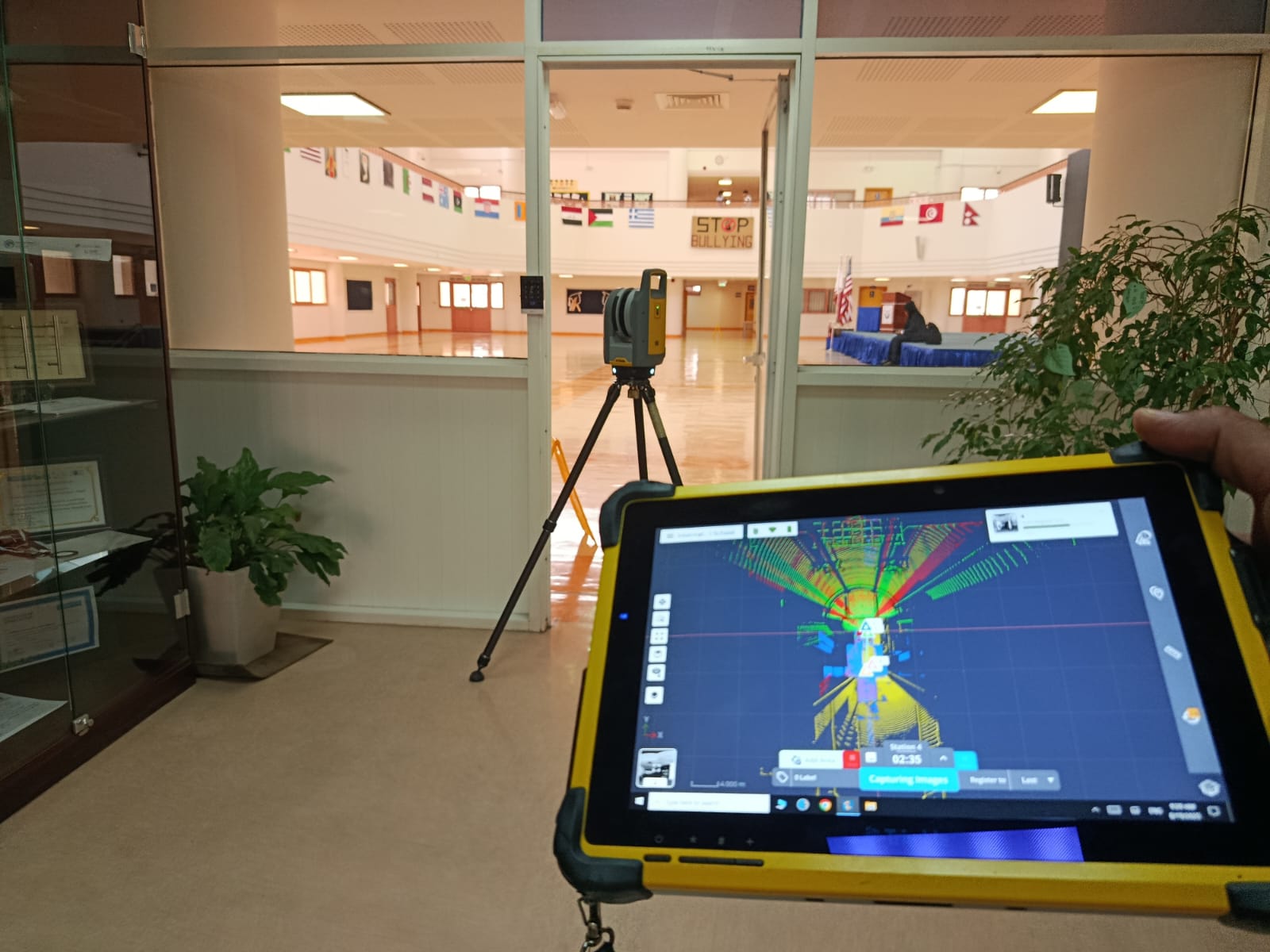

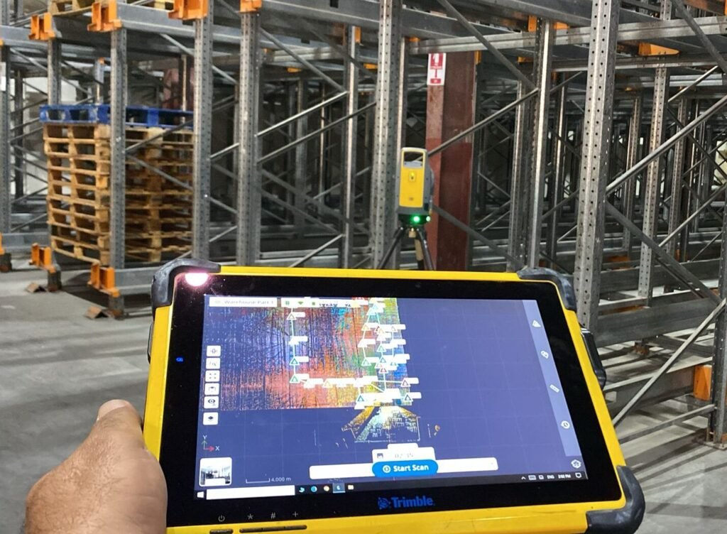
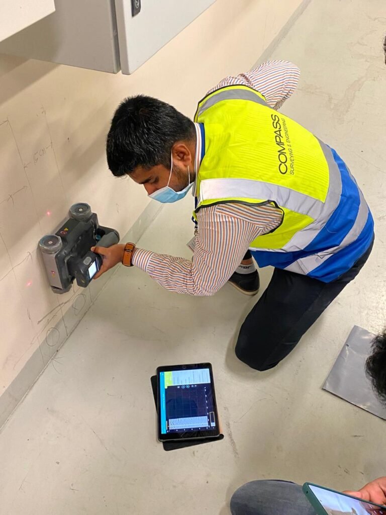
3D Laser Scanning
Accurate spatial data is critical for modern engineering and construction projects. Compass Arabia works closely with contractors, consultants, plant operators, infrastructure developers, and government sectors to provide advanced 3D laser scanning services across the GCC.
We support projects throughout:
- Qatar
- Saudi Arabia
- United Arab Emirates (UAE)
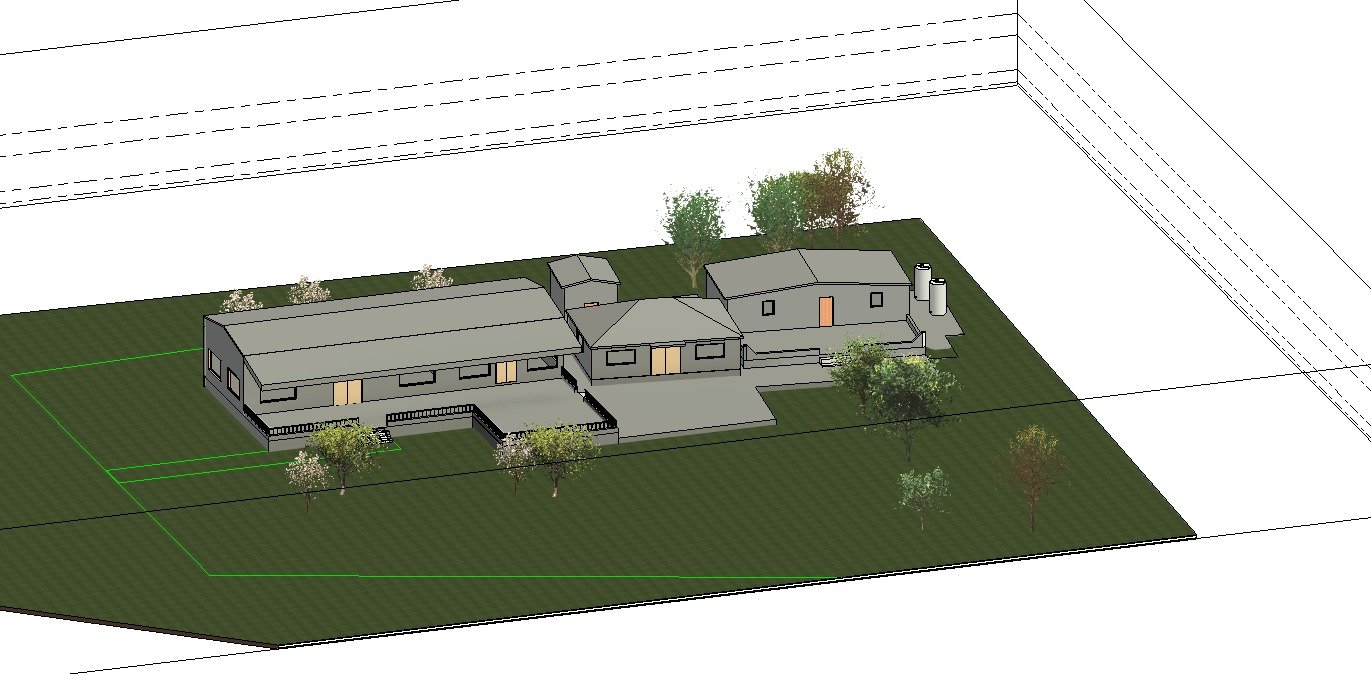
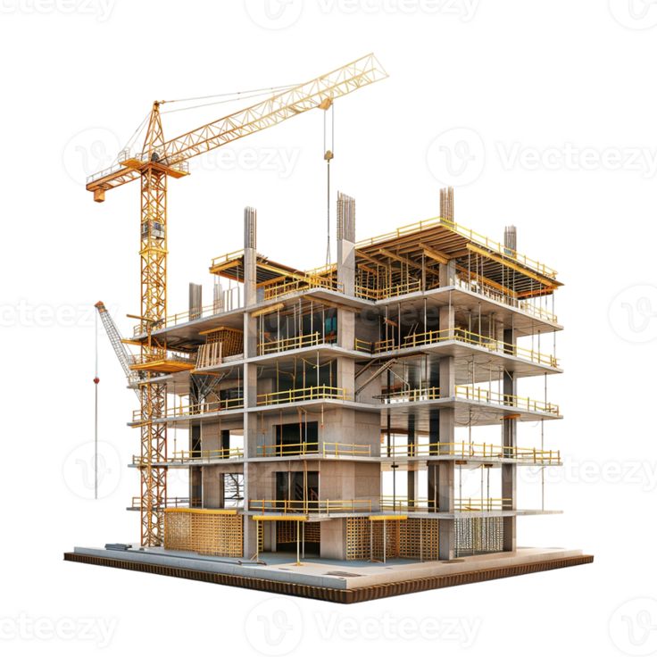
Building Information Modeling
Building Information Modeling has transformed the way projects are designed, managed, and executed. Compass Arabia works closely with architects, engineers, contractors, consultants, developers, and government sectors to provide accurate and efficient BIM solutions across the GCC region.
We support projects throughout:
- Qatar
- Saudi Arabia
- United Arab Emirates (UAE)
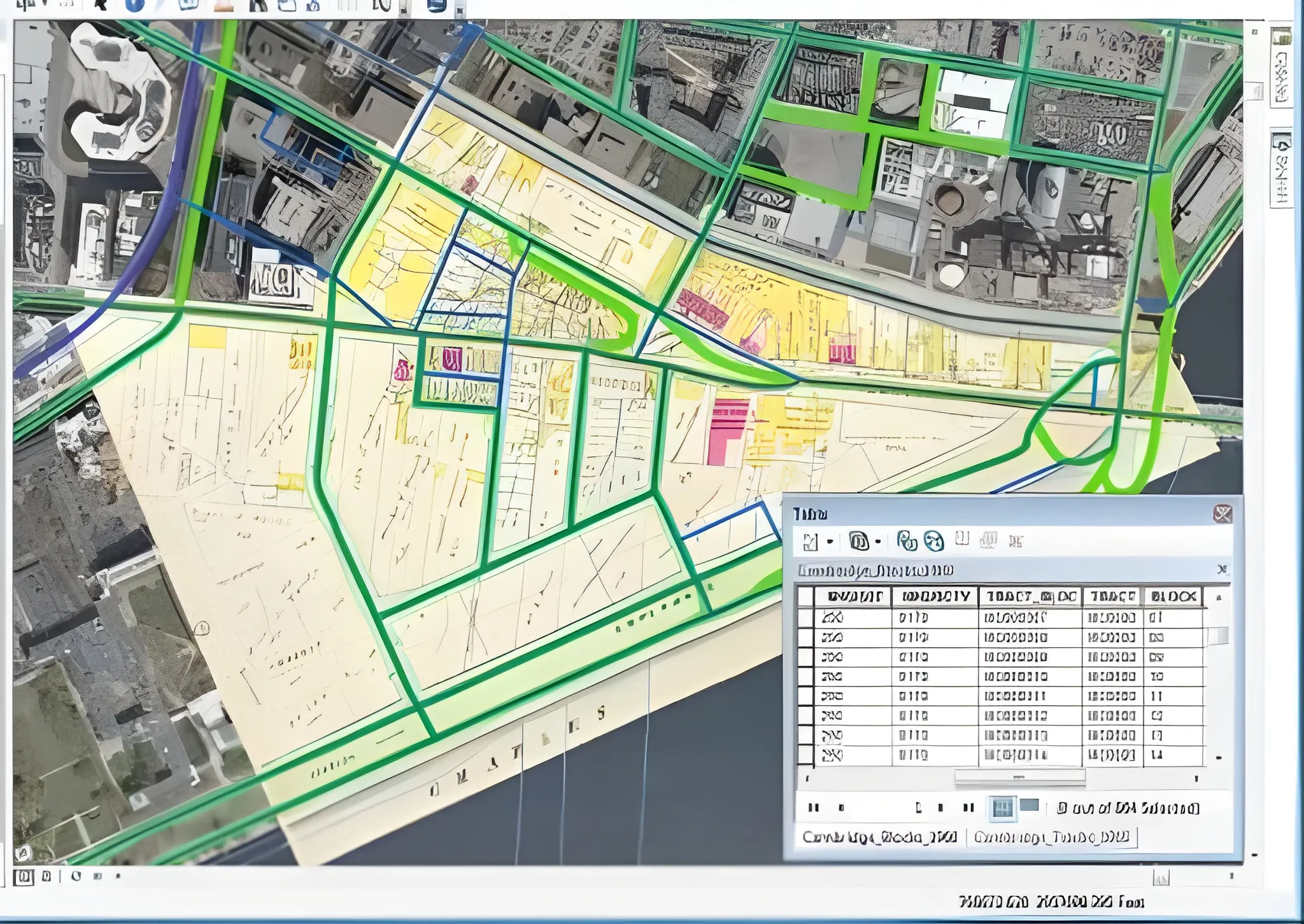
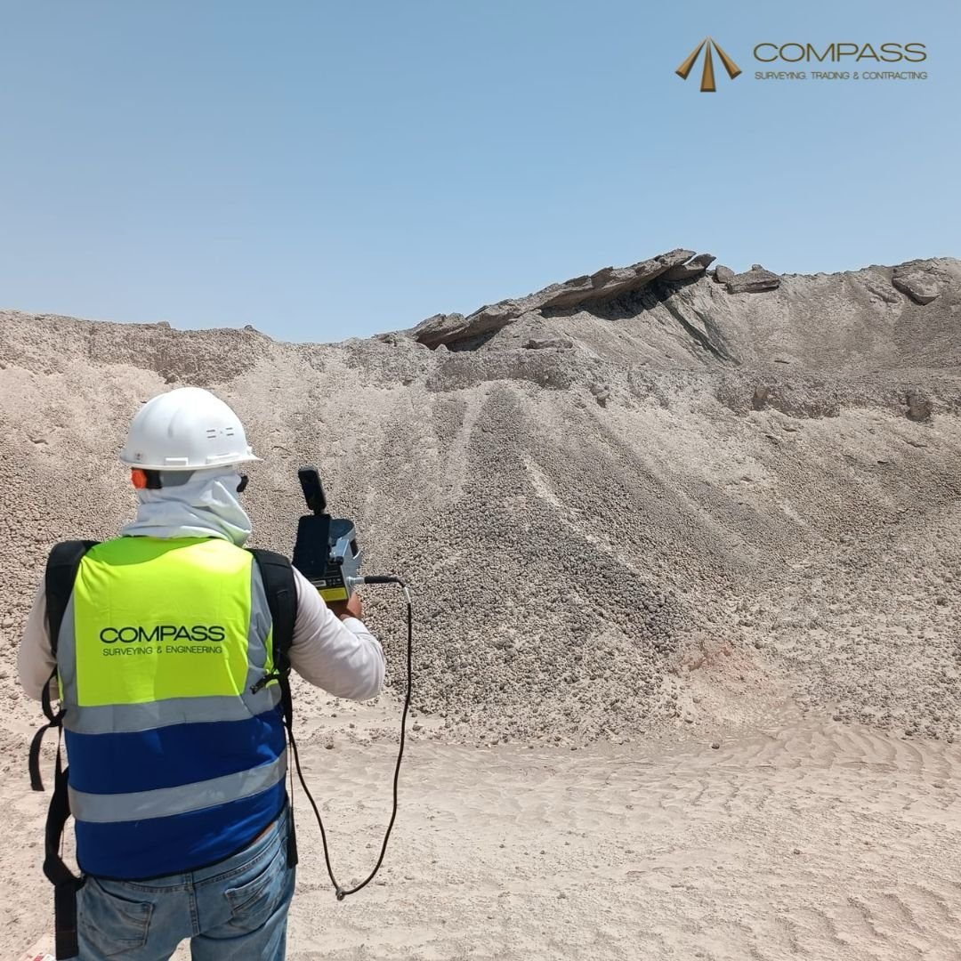
Digital Mapping
Digital mapping plays a critical role in modern infrastructure development, smart city planning, and engineering design. Compass Arabia works closely with government authorities, developers, consultants, and engineering firms to deliver precise and scalable mapping solutions.
We support projects throughout:
- Qatar
- Saudi Arabia
- United Arab Emirates (UAE)
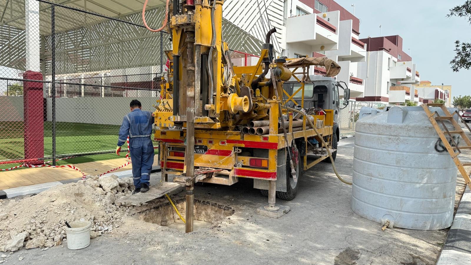
Geotechnical Engineering
Geotechnical investigations form the foundation of every successful construction and infrastructure project. Compass Arabia works closely with developers, contractors, consultants, and government sectors to provide accurate subsurface information and engineering recommendations.
We support projects throughout:
- Qatar
- Saudi Arabia
- United Arab Emirates (UAE)
Structural Assessment
As infrastructure and industrial assets continue to expand throughout the GCC, regular structural assessments are critical for maintaining safety, operational efficiency, and regulatory compliance.
Compass Arabia works closely with:
- Construction companies
- Infrastructure developers
- Industrial facilities
- Oil & gas operators
- Government authorities
- Engineering consultants
- Property developers
We support projects throughout:
- Qatar
- Saudi Arabia
- United Arab Emirates (UAE)
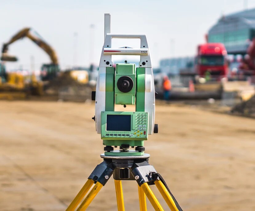
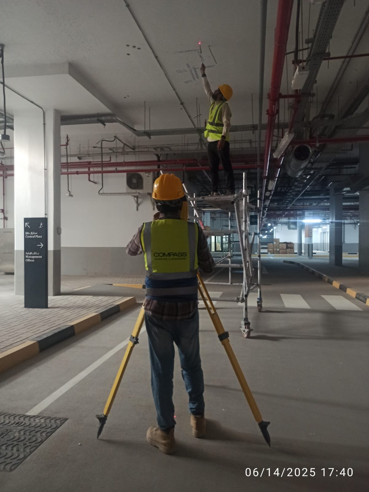
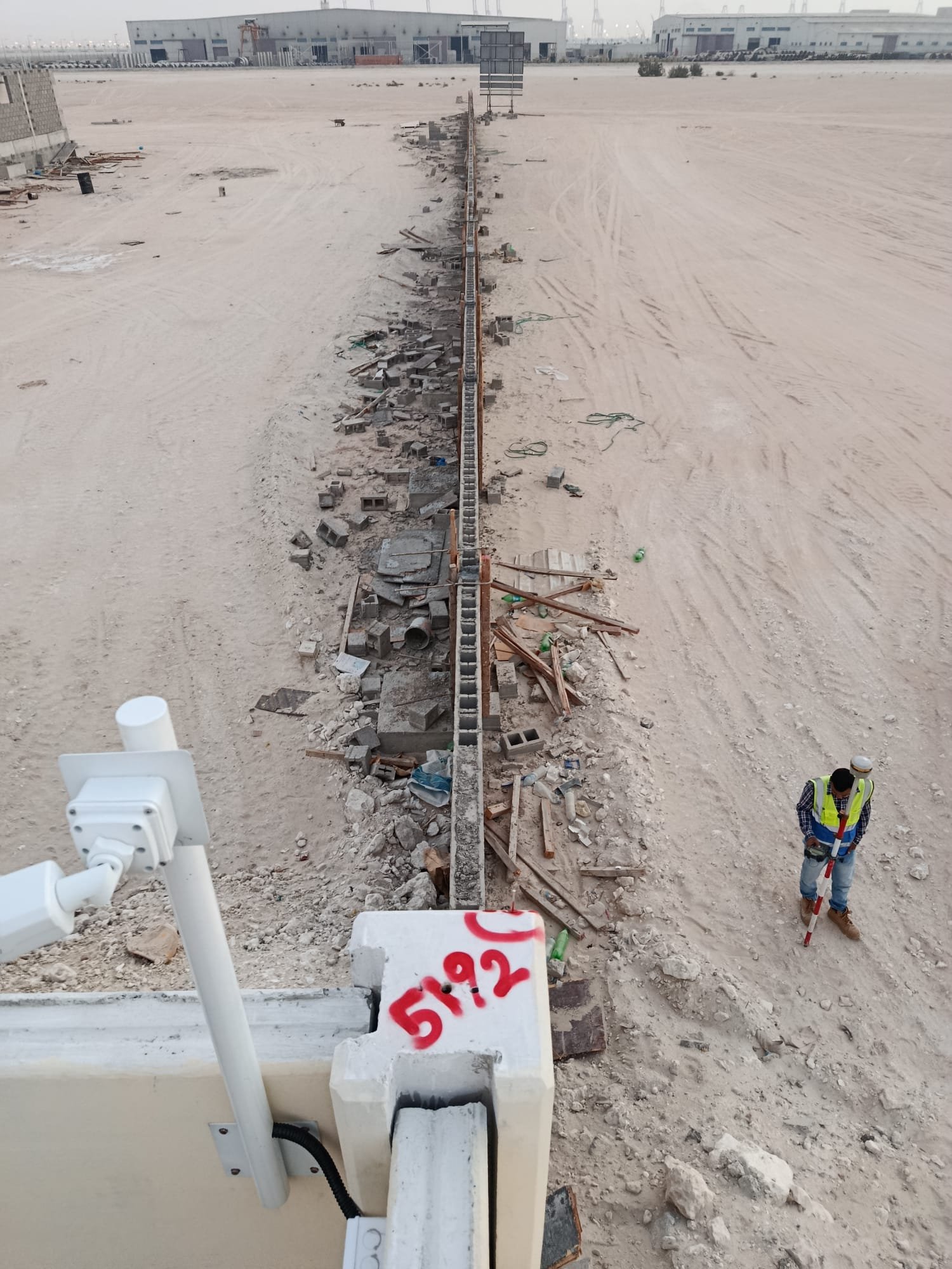
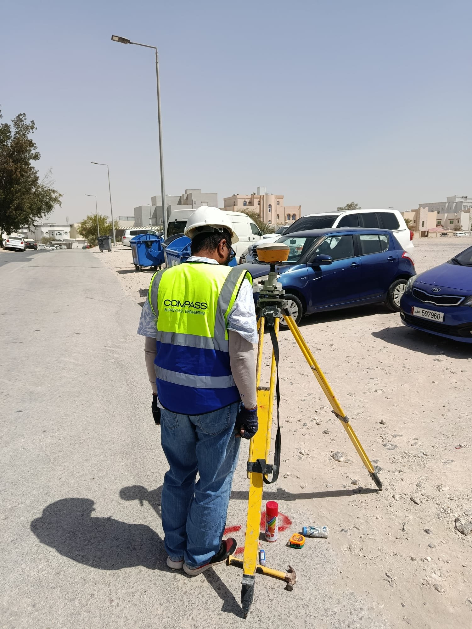
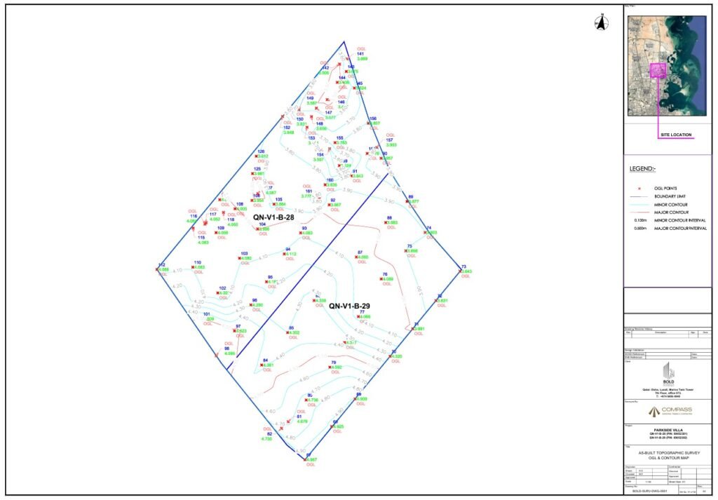
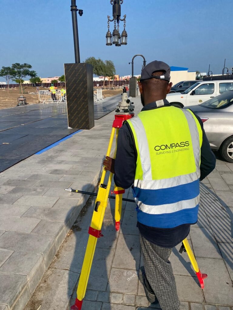
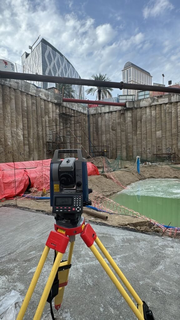
Surveying Services
Accurate surveying is the foundation of successful construction and infrastructure development. Compass Arabia works closely with contractors, developers, consultants, government authorities, and industrial sectors to provide reliable survey data for projects of all sizes.
Our surveying specialists support projects throughout:
- Qatar
- Saudi Arabia
- United Arab Emirates (UAE)
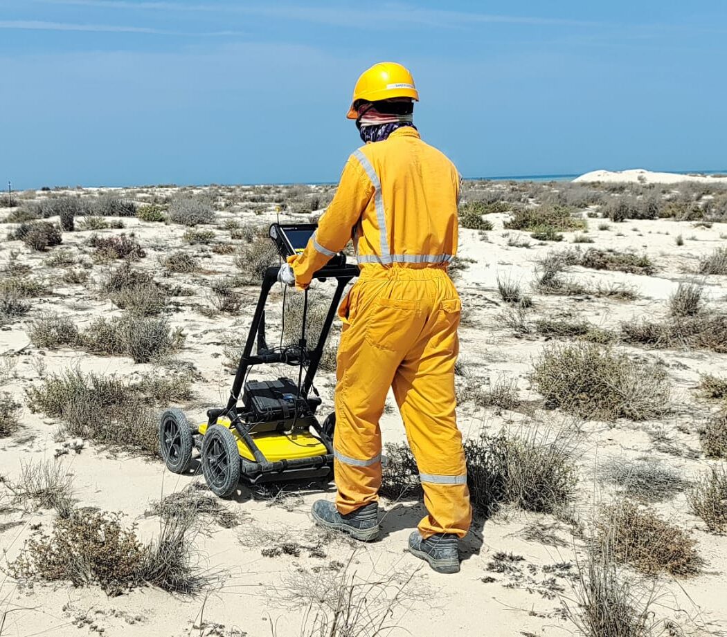
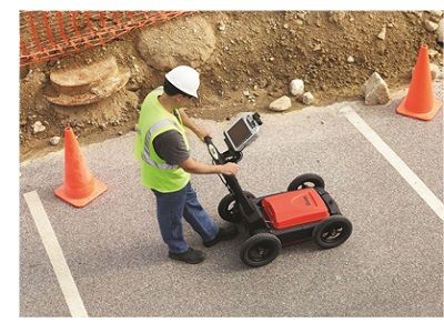
Underground Utilities Survey (GPR)
Underground utility networks are becoming increasingly complex as urban development and infrastructure expansion continue across the GCC. Compass Arabia works closely with contractors, consultants, utility providers, government authorities, and developers to provide dependable underground utility survey services.
We support projects throughout:
- Qatar
- Saudi Arabia
- United Arab Emirates (UAE)
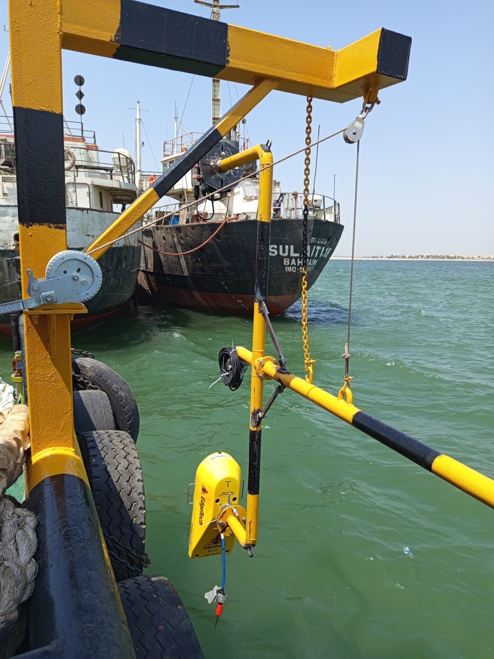
Hyrographic Survey
A hydrographic survey is a systematic measurement and description of the features of bodies of water, primarily the seabed, riverbed, or lakebed, and adjacent coastal areas.
Our support projects throughout:
- Qatar
- Saudi Arabia
- United Arab Emirates (UAE)
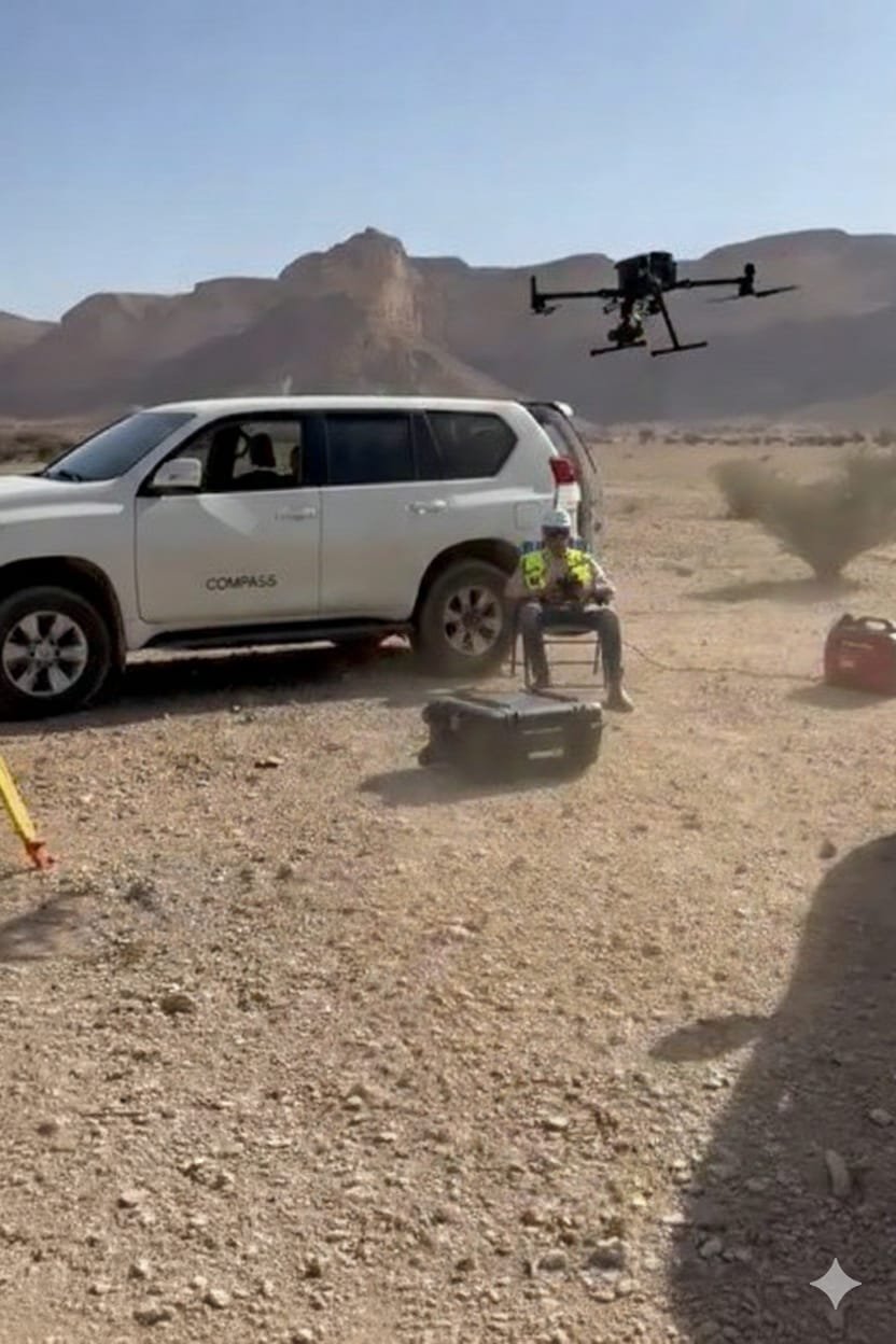
Drone Survey
Drone-based mapping, also known as UAV mapping or aerial photogrammetry, is the process of using unmanned aerial vehicles to capture overlapping aerial images or LiDAR point cloud data across a site. This data is then processed using specialised photogrammetry software to generate accurate, georeferenced survey products
We support projects throughout:
- Qatar
- Saudi Arabia
- United Arab Emirates (UAE)