
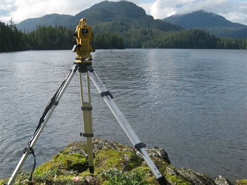
A hydrographic survey is how you find out what the seabed or riverbed actually looks like before you build a berth, lay a pipeline, or dredge a channel on top of it. Along Qatar, Saudi Arabia and the UAE’s coastlines, where port expansions, marinas and reclamation projects keep moving forward, that underwater picture is often the piece of information a project is missing until it is too late. Here is what a hydrographic survey covers and why coastal projects should not start without one.
In this article
What a hydrographic survey actually measures
A hydrographic survey maps the depth, shape and composition of a seabed, riverbed or lakebed, along with the water column above it. The output is a bathymetric model, essentially an underwater contour map, showing exactly how deep the water is, where it shoals unexpectedly, and where obstructions, rock, or soft sediment sit. It answers questions a land survey cannot touch: how much material has to be dredged, whether a berth pocket is deep enough for the vessels using it, and how the seabed has shifted since it was last checked.
For anyone used to topographic or measured building surveys on land, think of it as the same discipline applied below the waterline, with sonar standing in for a laser scanner.
Why Gulf coastal projects cannot skip it
The Gulf coastline moves more than people assume. Shallow, warm water encourages sediment to shift with currents and seasonal weather, so a channel dredged to a certain depth two years ago may already be shoaling back in. Reclamation and port works change the local hydrodynamics again, sometimes causing accretion or erosion in spots nobody expected. A design based on old or assumed bathymetry can be wrong before construction even starts.
There is also a safety dimension. Marine works, jetties, submarine cable and pipeline routes, and dredging campaigns all depend on knowing exactly what is down there, including any existing services, wrecks, or debris. Our geotechnical investigation work often runs alongside a hydrographic survey on the same project, since knowing the seabed shape only tells half the story if you do not also know what it is made of.
You cannot dredge, pile, or lay a pipeline safely on an assumption about what is under the water. You need the number, not the guess.
How the survey is carried out
Modern hydrographic surveys are built around multibeam echo sounders, which send out a fan of sonar pulses from a survey vessel and record thousands of depth readings per second across a wide swath of seabed rather than a single line. Combined with precise positioning and motion sensors on the vessel, the raw soundings get corrected for tide, vessel movement and the speed of sound through the local water, which varies with salinity and temperature.
Side-scan sonar is often added to pick up texture and objects on the seabed that a straight depth reading would miss, useful for spotting debris, pipelines, or rock outcrops. Once processed, all of it comes together into a single bathymetric model that can be overlaid on design drawings, checked against dredge templates, or compared to a previous survey to see how much the seabed has actually changed.
Where the data actually gets used
Port and terminal projects use it to confirm berth pockets and turning basins are deep enough for the design vessel, before and after dredging. Marina developments rely on it to plan pontoon depths and access channels that will not silt up within a season. Pipeline and cable route surveys use it to confirm a clear, stable path across the seabed and to check clearance from any existing infrastructure already down there.
Dredging contractors depend on accurate before-and-after surveys to verify the volume of material actually removed, which matters directly for payment and compliance. Coastal defence and reclamation works use repeat surveys over time to track erosion or accretion and confirm the design is behaving the way the modelling predicted. Our surveying services cover the full range from a single berth pocket check to ongoing monitoring across a multi-year marine project.
What skipping it tends to cost
A project that proceeds on old charts or a rough assumption usually finds out the hard way, mid-construction, that the seabed is not where the drawings say it is. A dredger arrives to find more material than budgeted, or a jetty foundation design has to be revised once the actual seabed profile shows up. Both of those are expensive precisely because they surface after mobilisation, when a schedule and a budget are already committed.
A hydrographic survey is a comparatively small line item set against the cost of any of those surprises. For anyone planning marine, port, or coastal work anywhere in the Gulf, it belongs at the very start of the project, not somewhere in the middle once the plan has already run into the seabed it never actually measured.