- Doha, Qatar | Riyadh, Saudi Arabia | Dubai, UAE

Expert Hydrographic Survey Services by Compass Arabia
Professional Hydrographic Survey Solutions Across Qatar, Saudi Arabia & UAE
When your project touches water, whether it is a port expansion, a dredging operation, or a coastal development, you need underwater survey data you can actually trust.
At Compass Arabia, we have been delivering professional hydrographic survey services across Qatar, Saudi Arabia, and the UAE for years. Our teams understand the unique marine environments of the GCC, from the shallow coastal waters of the Arabian Gulf to offshore infrastructure zones where accuracy is non-negotiable.
We work directly with marine contractors, port authorities, offshore developers, and government bodies to provide precise bathymetric data, seabed mapping, and underwater site assessments that keep projects on schedule and within budget.
Every survey we deliver is backed by experienced hydrographic surveyors, modern multibeam and single-beam echo sounders, and rigorous quality control processes.
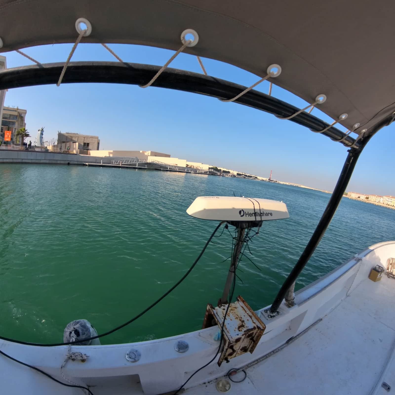
What Is a Hydrographic Survey?
A hydrographic survey is a systematic measurement and description of the features of bodies of water, primarily the seabed, riverbed, or lakebed, and adjacent coastal areas.
These surveys measure:
• Water depth
• Seafloor topography
• Sediment composition
• Water column properties
• Underwater structures and hazards
Hydrographic Surveys Are Essential For:
• Determining safe navigation channels
• Planning dredging volumes and material disposal
• Designing marine structures such as jetties, piers, and breakwaters
• Monitoring erosion and sediment transport over time
• Supporting environmental impact assessments for offshore projects
Without accurate hydrographic data, marine projects face serious risks including cost overruns, construction delays, structural failures, and regulatory non-compliance.
Our Hydrographic Survey Solutions
Bathymetric Surveys
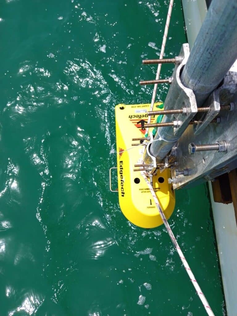
We use single-beam and multibeam echo sounders to map the depth and shape of the seabed with centimetre-level accuracy.
Bathymetric surveys form the foundation of any marine construction or dredging project. Our data is delivered in industry-standard formats compatible with AutoCAD, GIS platforms, and project management software.
Magnetometer Survey
We help seabed and subsurface research by offering high-precision magnetometer surveys to identify and map changes in the Earth’s magnetic field.
In addition to bathymetric and geophysical survey data, our services aid in the identification of pipelines, buried items, and archeological sites.
This data is supplied in formats that operate with project management software, GIS platforms, and AutoCAD, guaranteeing a smooth integration with your broader survey workflow.
Dredging Surveys & Volume Calculations
For dredging contracts across Qatar, Saudi Arabia, and the UAE, we provide:
• Pre-dredge surveys
• Progress surveys
• Post-dredge surveys
This data supports contractor payment certification, environmental monitoring, and regulatory reporting.
Port & Harbor Surveys
From Doha’s port developments to Saudi Arabia’s Red Sea coastal projects, Compass Arabia delivers hydrographic surveys for:
• Port design
• Maintenance dredging
• Berth deepening
• Navigational safety assessments
We understand the commercial pressures of working in active port environments and plan surveys to minimise disruption to operations.
Offshore Structure & Pipeline Surveys
We provide positioning and survey support for:
• Offshore developments
• Subsea pipeline routes
• Marine infrastructure projects
Our teams deliver accurate data for structure placement, pipeline corridor selection, and post-installation verification.
Coastal & Shoreline Surveys
Coastal development and environmental management projects require detailed shoreline change analysis.
We conduct hydrographic and topographic surveys together to produce integrated coastal profiles that support:
• Sea defence design
• Land reclamation planning
• Erosion monitoring programmes
Hydrographic Control & Positioning
Accurate positioning is the backbone of any reliable hydrographic survey.
We use differential GPS and GNSS systems referenced to local geodetic datums, ensuring our data integrates seamlessly with your wider project coordinate system.
Why Choose Compass Arabia for Hydrographic Surveying?
Extensive GCC Project Experience
Compass Arabia is trusted by engineers, project managers, and government authorities across the GCC for several reasons:
Deep regional experience across Qatar, Saudi Arabia, and the UAE
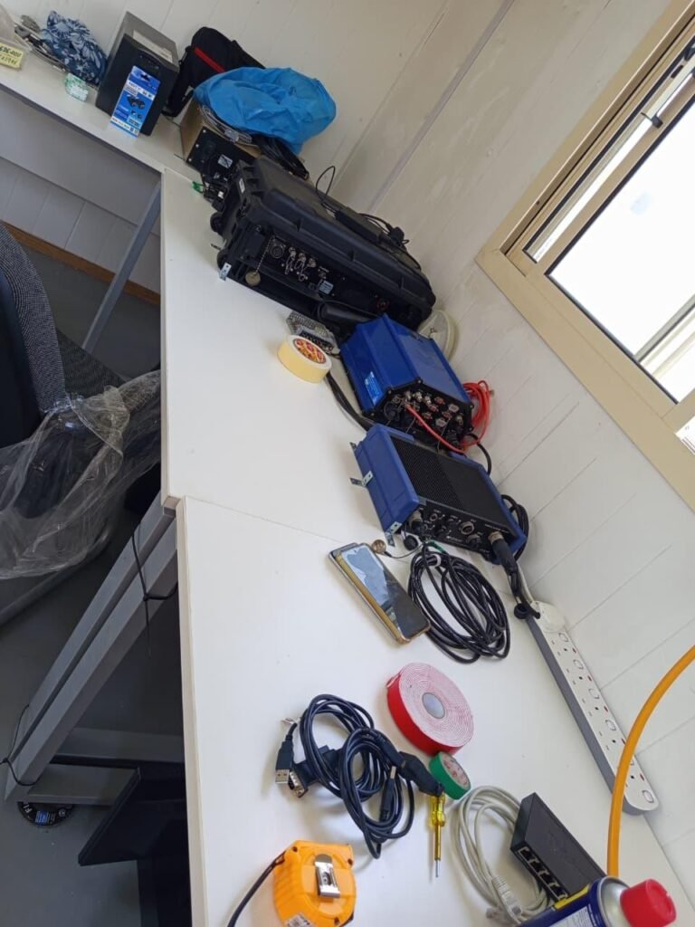
Specialist equipment including multibeam systems, single-beam echo sounders, ADCP instruments, and high-precision GNSS positioning tools
Qualified hydrographic surveyors with extensive offshore and coastal survey backgrounds
Fast data turnaround with processed and quality-checked survey deliverables
Seamless data integration with engineering, GIS, and project management software
Safety-first approach with full risk assessments and compliance with maritime safety regulations
Our Experience in Marine Survey Across the GCC
Compass Arabia has an established track record in hydrographic surveying for some of the GCC’s most demanding marine projects.
From dredging monitoring for island development works in Qatar to bathymetric surveys supporting port infrastructure in Saudi Arabia and the UAE, our teams consistently deliver data that project teams rely on to make critical engineering decisions.
We have worked in:
• Tidal environments
• Shallow reef areas
• Busy commercial ports
• Open-water offshore zones
We bring that real-world experience to every project we undertake.
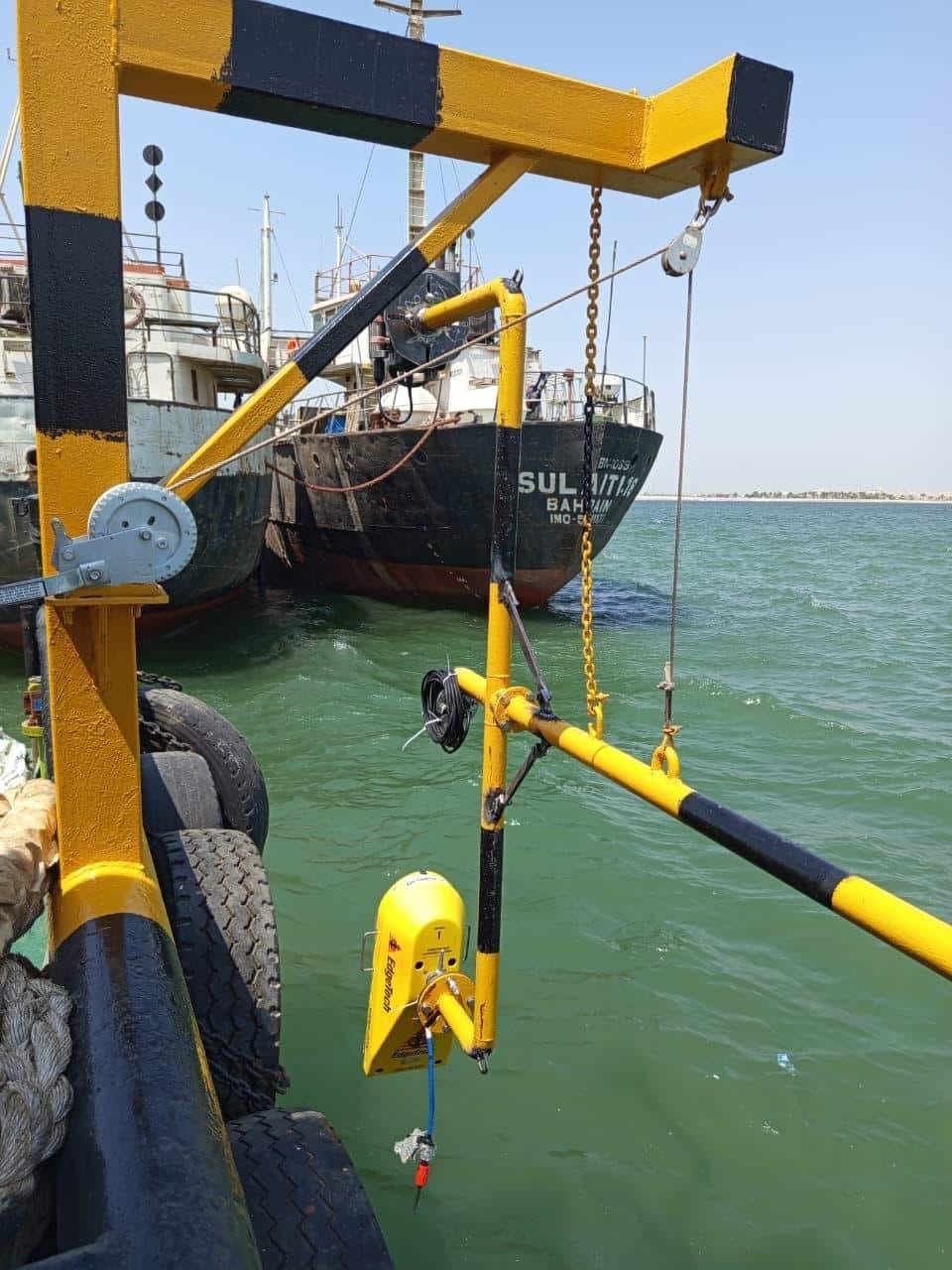
Trusted hydrographic surveying Across the GCC
Compass Arabia provides hydrographic surveying services across the GCC for
Construction Companies
Oil & Gas Operators
Infrastructure Developers
Industrial Facilities
Engineering Consultants
Marine & Offshore Sectors
Utility Providers
Government Authorities
Real Estate Developers
FAQ's
What is a hydrographic survey used for?
Hydrographic surveys measure water depth, seabed topography, and underwater features.They are used for:• Marine construction• Dredging volume calculations• Port design• Navigation safety• Pipeline route selection• Environmental monitoring
Which areas do you cover for hydrographic surveying?
Compass Arabia provides hydrographic survey services across Qatar, Saudi Arabia, and the United Arab Emirates, including coastal, offshore, and inland water environments.
How accurate are your hydrographic surveys?
We work to international hydrographic standards using multibeam and single-beam echo sounders with GNSS positioning to deliver centimetre-level depth accuracy across the survey area.
Can you carry out surveys in active port environments?
Yes. We regularly conduct surveys in busy port and harbour environments. Our teams plan surveys around port operations to ensure data quality while minimising disruption to vessel movements and cargo handling.
What deliverables do you provide?
We provide:
• Processed bathymetric charts
• Digital Elevation Models (DEMs)
• Volume calculation reports
• Contour plans
• Full survey reports
All deliverables are provided in formats compatible with AutoCAD, Civil 3D, and GIS software.
Contact Compass Arabia
Looking for reliable hydrographic survey services in the GCC?
Compass Arabia delivers accurate, technology-driven hydrographic surveying and marine mapping solutions for ports, dredging projects, offshore developments, coastal infrastructure, and marine engineering projects across Qatar, Saudi Arabia, and the UAE.
Contact our team today to discuss your project requirements and receive expert hydrographic survey, bathymetric mapping, seabed assessment, and marine positioning services tailored to your operational and engineering needs.