- Doha, Qatar | Riyadh, Saudi Arabia | Dubai, UAE

3D Laser Scanning Services in GCC | Advanced Digital Survey Solutions by Compass Arabia
Professional 3D Laser Scanning Services in the GCC
Compass Arabia provides professional 3D laser scanning services across the GCC, supporting projects in Qatar, Saudi Arabia, and the UAE with accurate digital surveying and high-precision spatial data solutions.
Our advanced laser scanning technology helps clients capture detailed measurements and highly accurate 3D models for construction, industrial, infrastructure, oil & gas, and engineering projects. By using modern scanning equipment and proven workflows, we deliver reliable digital documentation that improves planning, reduces project risks, and enhances operational efficiency.
From complex industrial facilities to large infrastructure developments, Compass Arabia delivers dependable 3D laser scanning solutions tailored to the evolving needs of the GCC region.
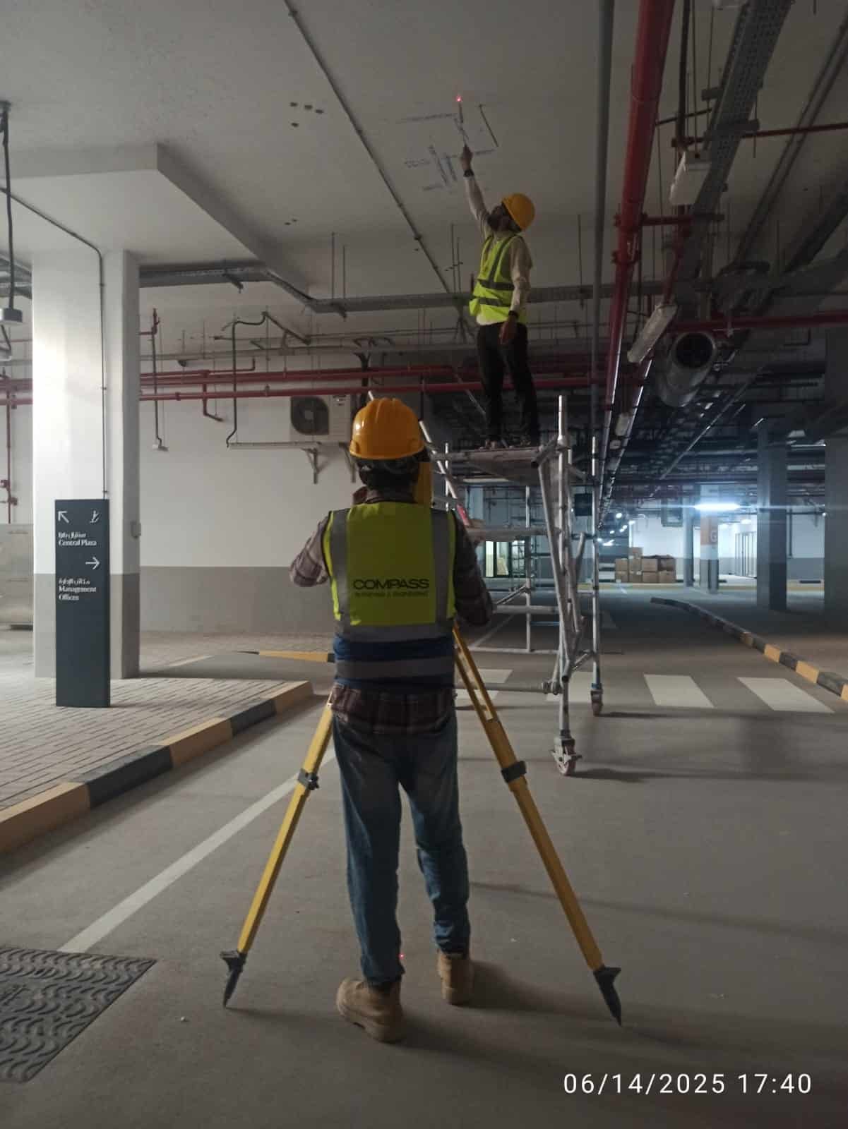
Trusted 3D Laser Scanning Company in Qatar, Saudi Arabia & UAE
Accurate spatial data is critical for modern engineering and construction projects. Compass Arabia works closely with contractors, consultants, plant operators, infrastructure developers, and government sectors to provide advanced 3D laser scanning services across the GCC.
We support projects throughout:
- Qatar
- Saudi Arabia
- United Arab Emirates (UAE)
Our experienced scanning specialists understand the technical challenges associated with industrial environments, infrastructure projects, and large-scale developments, allowing us to deliver precise and efficient digital survey solutions.
Our 3D Laser Scanning Services
Industrial 3D Laser Scanning
Compass Arabia provides industrial laser scanning services for refineries, processing plants, manufacturing facilities, and oil & gas operations.
Our industrial scanning solutions support:
- Plant documentation
- Equipment positioning
- Structural assessments
- Facility upgrades
- Brownfield modifications
- Shutdown planning
Accurate point cloud data helps improve engineering accuracy and project coordination in complex industrial environments.
Building & Infrastructure Scanning
We provide high-precision 3D scanning for buildings, bridges, roads, tunnels, and infrastructure projects throughout the GCC region.
Our services support:
- Construction planning
- Renovation projects
- Structural analysis
- As-built documentation
- Facility management
- Engineering design verification
Detailed digital models help improve project visualization and reduce construction errors.
BIM & Digital Twin Support
Compass Arabia delivers laser scanning data compatible with Building Information Modeling (BIM) workflows and digital twin applications.
Our BIM support services include:
- Point cloud generation
- BIM modeling support
- Clash detection assistance
- Asset digitization
- Engineering coordination
This enables clients to improve project management, maintenance planning, and operational efficiency.
As-Built Surveys
We conduct highly accurate as-built laser scanning surveys to verify existing conditions and compare completed structures against engineering designs.
As-built surveys help:
- Validate construction accuracy
- Identify deviations
- Support project handover
- Improve facility documentation
Reduce rework risks
Offshore & Marine Laser Scanning
Compass Arabia provides 3D laser scanning solutions for offshore platforms, marine facilities, ports, and coastal infrastructure projects.
Our marine scanning capabilities support:
- Offshore asset documentation
- Shipyard measurements
- Port infrastructure analysis
- Structural inspections
- Retrofit planning
Reliable spatial data improves marine engineering and maintenance operations.
Hydrographic Survey Services
Compass Arabia offers hydrographic surveying services for marine, offshore, and coastal projects across the GCC region.
Our hydrographic solutions support:
- Marine construction
- Dredging operations
- Offshore developments
- Coastal infrastructure
- Port and harbor projects
We provide reliable underwater survey data to improve marine project planning and operational efficiency.
Why Choose Compass Arabia for 3D Laser Scanning Services in GCC
Extensive GCC Project Experience
Compass Arabia has extensive experience delivering laser scanning services across Qatar, Saudi Arabia, and the UAE. Our team understands the operational and technical requirements of projects throughout the region.
Advanced Laser Scanning Technology
We use industry-leading laser scanning equipment and digital surveying technologies to ensure accurate and reliable spatial data collection.
Our capabilities include:
- High-definition laser scanners
- Point cloud processing software
- BIM integration workflows
- Digital modeling solutions
- Geospatial data analysis tools
Experienced Technical Specialists
Our team includes experienced surveyors, scanning technicians, engineers, and geospatial professionals dedicated to delivering technically accurate and high-quality results.
Customized Digital Survey Solutions
Every project has unique requirements. Compass Arabia provides tailored 3D laser scanning services for:
- Oil & gas facilities
- Industrial plants
- Infrastructure developments
- Commercial buildings
- Marine & offshore projects
- Government developments
- Construction projects
Accurate & Reliable Deliverables
We provide detailed digital outputs including:
- Point cloud data
- 3D models
- CAD drawings
- BIM-compatible files
- Engineering documentation
These deliverables support efficient project planning, engineering analysis, and long-term asset management.
Importance of 3D Laser Scanning in Modern Engineering
As projects become more complex, accurate digital documentation is increasingly important for successful planning, maintenance, and construction management.
3D laser scanning helps organizations:
- Improve project accuracy
- Minimize operational risks
- Reduce engineering conflicts
- Enhance maintenance planning
- Accelerate project execution
- Improve asset lifecycle management
Compass Arabia helps clients achieve these goals through advanced digital surveying and high-precision laser scanning solutions.
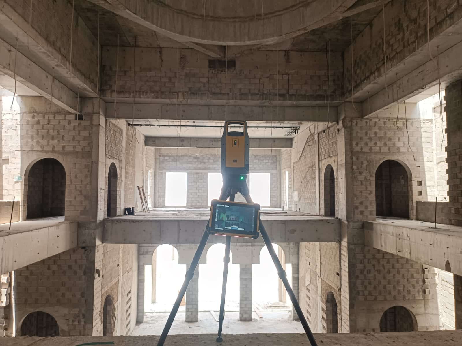
Trusted 3D Laser Scanning Across the GCC
Compass Arabia provides 3D laser scanning services across the GCC for
Construction Companies
Oil & Gas Operators
Infrastructure Developers
Industrial Facilities
Engineering Consultants
Marine & Offshore Sectors
Utility Providers
Government Authorities
Real Estate Developers
FAQ's
What is 3D laser scanning?
3D laser scanning is a digital surveying method that captures highly accurate spatial measurements using laser technology to create detailed point clouds and 3D models.
Which industries benefit from 3D laser scanning?
Industries including construction, infrastructure, oil & gas, industrial manufacturing, marine, and engineering sectors benefit from accurate laser scanning data.
Which regions does Compass Arabia serve?
Compass Arabia provides 3D laser scanning services across Qatar, Saudi Arabia, and the UAE.
What deliverables do you provide?
We provide point cloud data, 3D models, CAD drawings, BIM-compatible files, and engineering documentation based on project requirements.
Why is laser scanning important for industrial projects?
Laser scanning improves measurement accuracy, supports engineering modifications, reduces downtime, and enhances project coordination in complex industrial environments.
Contact Compass Arabia
Looking for reliable 3D laser scanning services in the GCC?
Compass Arabia delivers accurate, technology-driven digital surveying and laser scanning solutions for construction, industrial, infrastructure, and engineering projects across Qatar, Saudi Arabia, and the UAE.
Contact our team today to discuss your project requirements and receive expert 3D laser scanning support tailored to your industry needs.