One of the most crucial procedures before beginning any infrastructure or building project is a topographic survey. In nations with rapidly expanding land development, such as the United Arab Emirates, Saudi Arabia, and Qatar, precise topographic data is essential for safe planning, sound design, and efficient project implementation.
A Topographic Survey: What Is It?
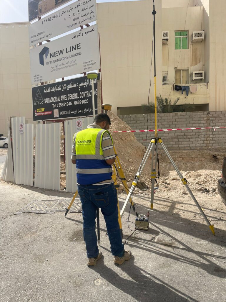
Ground levels, contours, buildings, roads, utilities, and boundaries are just a few of the man-made and natural characteristics that can be identified by a topographic survey. The survey provides surface data and elevation changes that engineers and architects require for design and planning.
The Significance of Topographic Surveys
Topographic surveys are beneficial.
Recognize the site’s conditions prior to building
Accurately plan the earthworks and drainage.
Prevent expensive revisions and design mistakes
Support local government approvals
Make sure the project is executed safely and effectively.
At every stage of a project, precise site data lowers risks and enhances decision-making.
Utilizing Contemporary Technology for Topographic Surveying
GCC-based professional surveying firms employ cutting-edge technology like:
GPS devices and total stations
Drone surveys for complicated or sizable locations
3D laser scanning for precise mapping
GIS systems and digital mapping
Faster data transfer and accurate measurements are offered by these instruments.
Topographic Survey Applications
The following are typical uses for topographic surveys:
Construction of buildings and villas
Infrastructure and road projects
Subdivision and land development
Planning for utilities and drainage
Studies on the environment and viability
Topographic Survey Services in the UAE, Saudi Arabia, and Qatar
Dependable topographic surveying services guarantee adherence to national and international laws. Skilled survey teams provide precise contour maps, digital data, and drawings that are customized to meet project needs throughout the GCC.
In conclusion
Any successful construction project starts with a good topographic survey. Developers and engineers in Qatar, Saudi Arabia, and the United Arab Emirates can accomplish precise planning, lower risks, and superior project results by utilizing cutting-edge surveying technology and specialized understanding.